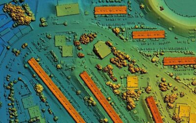
Understanding Misconceptions About LiDAR Technology LiDAR (Light Detection and Ranging) technology has revolutionized geospatial data collection. However, several misconceptions surround its capabilities and applications. Read on to clarify these misconceptions and...
The Transformative Impact of Reality Data Capture in the Insurance Industry
The Transformative Impact of Reality Data Capture in the Insurance Industry In recent years, the insurance industry has increasingly turned to advanced technologies like reality data capture to enhance its operations. Utilizing drones, LiDAR, and high-resolution...
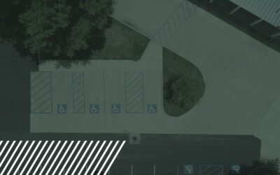
Enhancing Pavement Assessments with Reality Data Capture Technology
Enhancing Pavement Assessments with Reality Data Capture Technology Maintaining the integrity of our roadways is essential for safe and efficient transportation. Pavement assessments are a critical part of this maintenance process, helping to...
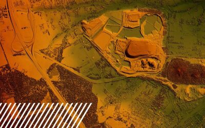
Understanding Digital Surface Models, Digital Terrain Models, and Digital Elevation Models
Understanding Digital Surface Models, Digital Terrain Models, and Digital Elevation Models Elevation data is critical for a wide range of applications in various fields. It plays a key role in helping us better understand and manage the Earth’s...
Unleashing Potential: The Expanding Horizons of Drone Pilot Opportunities
Unleashing Potential: The Expanding Horizons of Drone Pilot Opportunities The drone industry is experiencing an exhilarating phase of evolution driven by technological advancements and an increasing demand for diverse applications. From...
The Evolution of Reality Data Capture
The Evolution of Reality Data Capture Reality data capture, a term synonymous with the transformation of the way we collect and analyze data from the physical world, has made significant strides over the past few decades. Let’s explore the evolution of...
Navigating the Skies: The Essential Guide to Drone Safety in Work Zones
Navigating the Skies: The Essential Guide to Drone Safety in Work Zones As drones continue to significantly enhance professional settings, understanding the intricacies of flying these high-tech devices amidst the bustling environment of work zones has never been more...
Flying High with Trust: Inside FlyGuys’ Expert Team
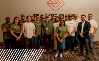
Flying High with Trust: Inside FlyGuys' Expert Team Reality data capture and aerial technology are a large part of the success of many companies seeking quality data. These days, finding a partner you can trust isn't just a preference; it's a necessity....
Solar Inspections: Insights from a Solar Expert
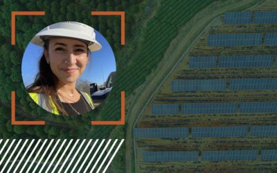
Solar Inspections: Insights from a Solar Expert Julia Guerra, a licensed drone pilot with extensive experience in oil and gas, sheds light on the transformative power of reality data capture technology in the solar farm industry. She walks us through the...
The Next Dimension: 3D Modeling and Simulation in Civil Engineering
The Next Dimension: 3D Modeling and Simulation in Civil Engineering Revolutionizing Project Visualization and Decision-Making Processes Like many modern industries, civil engineering must evolve to keep up with the competition and the fast-paced world. With the...

