Raptor Maps
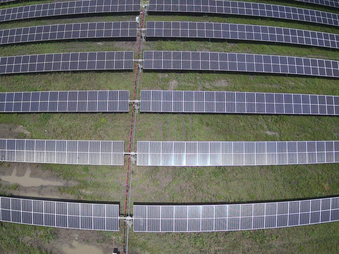
Raptor Maps needed consistent, accurate and timely thermal data from across the country and turned to FlyGuys for a solution.
Executing complex challenges across America
FlyGuys offers comprehensive drone services to businesses in all types of industries.
Raptor Maps needed consistent, accurate and timely thermal data from across the country and turned to FlyGuys for a solution.
Lemoine wanted to create a marketing package after the completion of each site that showed the building process from groundbreaking to finished infrastructure.

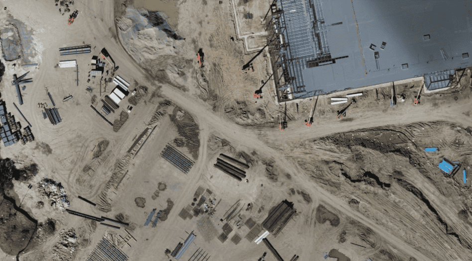
Graycor needed consistent, frequently updated aerial data of construction sites to monitor progress.