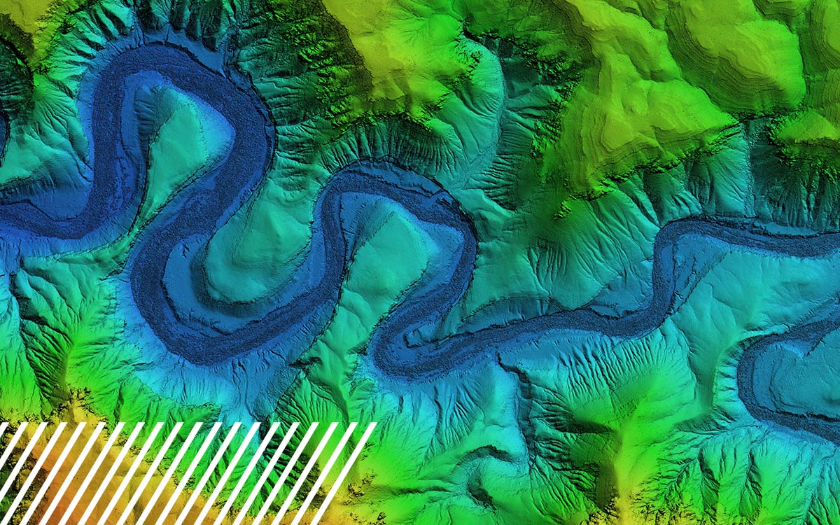
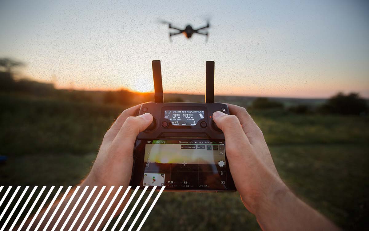
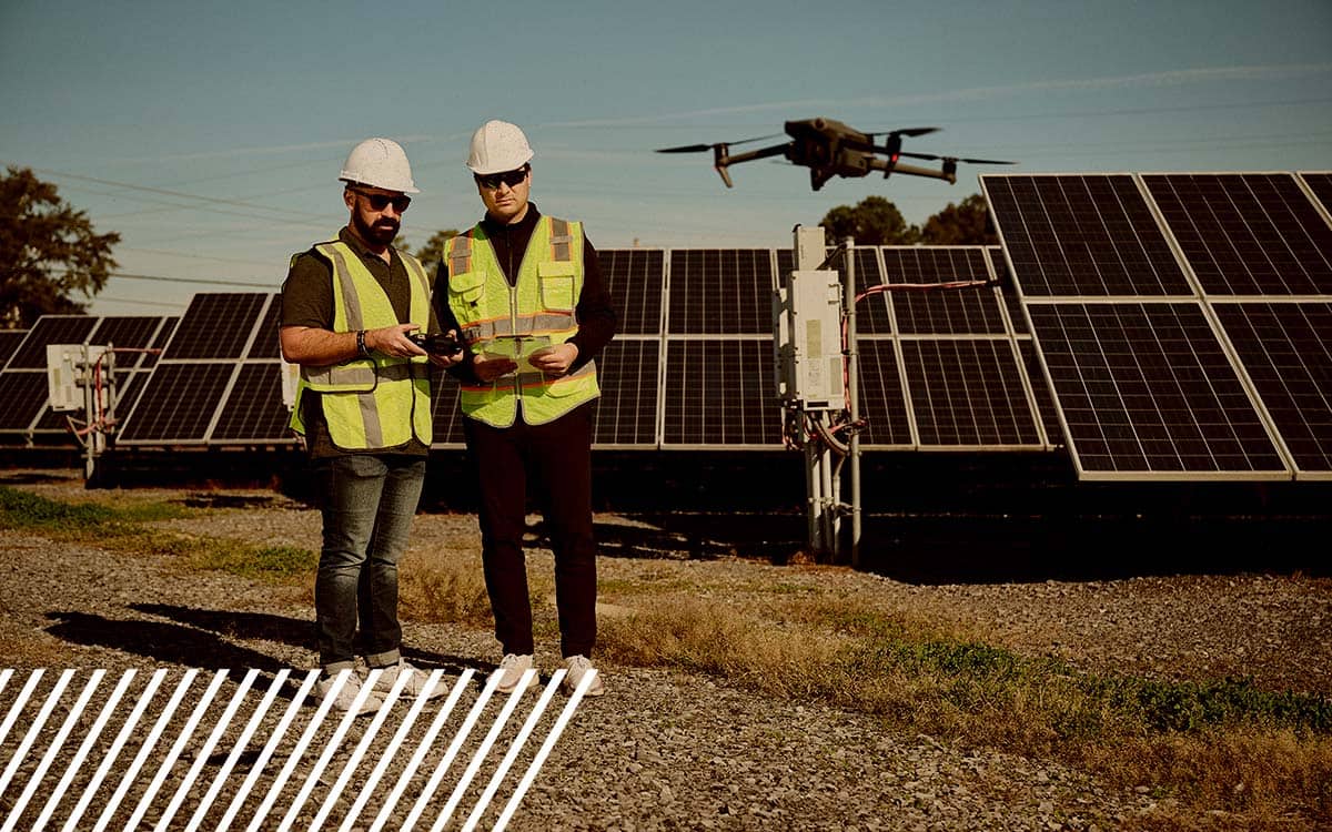
Introducing NavVis: Elevating Reality Data Capture with Cutting-Edge Technology
Introducing NavVis: Elevating Reality Data Capture with Cutting-Edge Technology In today’s turbo-charged and increasingly digital world, reality data capture has become essential across industries. As businesses strive for accuracy, efficiency, and data-driven...
Harnessing Reality Data Capture for the Renewable Energy Industry
Harnessing Reality Data Capture for the Renewable Energy Industry There is a global shift toward renewable energy, making the need for precise and actionable data more critical than ever. Reality data capture technologies allow for such data collection, whether...
Why Thermal Imaging is Critical for Accurate Flare Stack Inspections
Why Thermal Imaging is Critical for Accurate Flare Stack Inspections Flare stacks are essential to industrial operations, particularly in the oil and gas sector. They play a crucial role in safely burning off excess gasses, ensuring operational efficiency and...
Selling Real Estate with Drone Services
Selling Real Estate with Drone Services While it is true that the real estate market experiences fluctuations due to various economic and social factors, drone technology provides a reliable and consistent tool that professionals can depend on. The integration of...
FlyGuys Launches Platform to Connect Pilots With Customers
FlyGuys Launches Platform to Connect Pilots With Customers FlyGuys, the Lafayette-based reality data capturing tech company, launched a software platform to connect customers seeking data with those who offer the services in an online marketplace. The platform will...
How Reality Data Capture Helps Prepare for Disasters
How Reality Data Capture Helps Prepare for Disasters As natural disasters become more frequent and severe, proactive disaster preparedness has become increasingly vital. Drones and LiDAR technology have revolutionized how we approach disaster management by...
Understanding NDVI: Normalized Difference Vegetation Index
Understanding NDVI: Normalized Difference Vegetation Index The Normalized Difference Vegetation Index (NDVI) is a crucial metric derived from multispectral imaging and is particularly useful in assessing vegetation health. NDVI measures the difference between...
Unlocking the Potential of Multispectral Imaging and Reality Data Capture
Unlocking the Potential of Multispectral Imaging and Reality Data Capture What is Multispectral Imaging? Multispectral imaging is a powerful technology that simultaneously captures image data at specific wavelengths across the electromagnetic spectrum. Unlike...
Understanding Misconceptions About LiDAR Technology
Understanding Misconceptions About LiDAR Technology LiDAR (Light Detection and Ranging) technology has revolutionized geospatial data collection. However, several misconceptions surround its capabilities and applications. Read on to clarify these misconceptions and...