Volumetric Measurements Via Drone
Measure, Model and Analyze the Volume of Material
Drones in volumetrics have become more popular over the last few years as the technology has become more affordable and accessible. Volumetrics is a branch of geospatial science that uses remote sensing techniques to measure, model and analyze the volume of material.
Volumetrics can be used to estimate the amount of material that needs to be removed (or added) from a project site, measure stockpiles and quarries, or determine the amount of land needed for construction projects.
Drones for Volumetric Surveying
Traditional volumetrics requires a survey team and lots of estimated calculations. It is time-consuming, takes weeks to report, and is expensive. This method tends to leave room for a lot of subjectivity and errors, producing inaccurate or out-of-date results.
Fortunately, drone technology allows volumetric calculations to be performed in real-time at a fraction of the cost and time required by traditional methods. The results are accurate, calculations are reported immediately, and the cost is significantly less than that of a survey team.
Survey teams require that any work around the stockpile ceases, which can lead to schedule delays and workflow interruptions. Drones allow work onsite to continue as normal because safety risks are minimized.
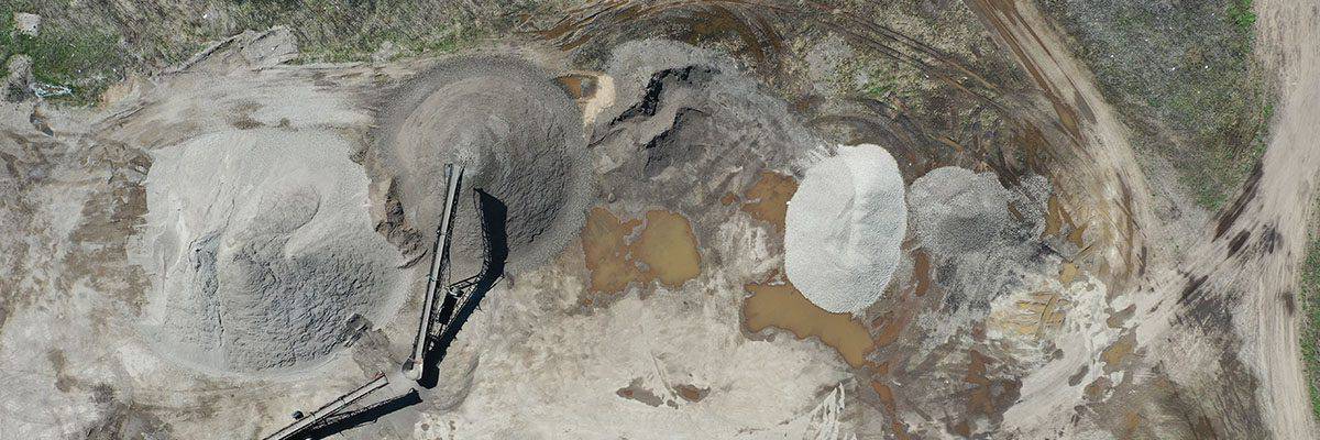
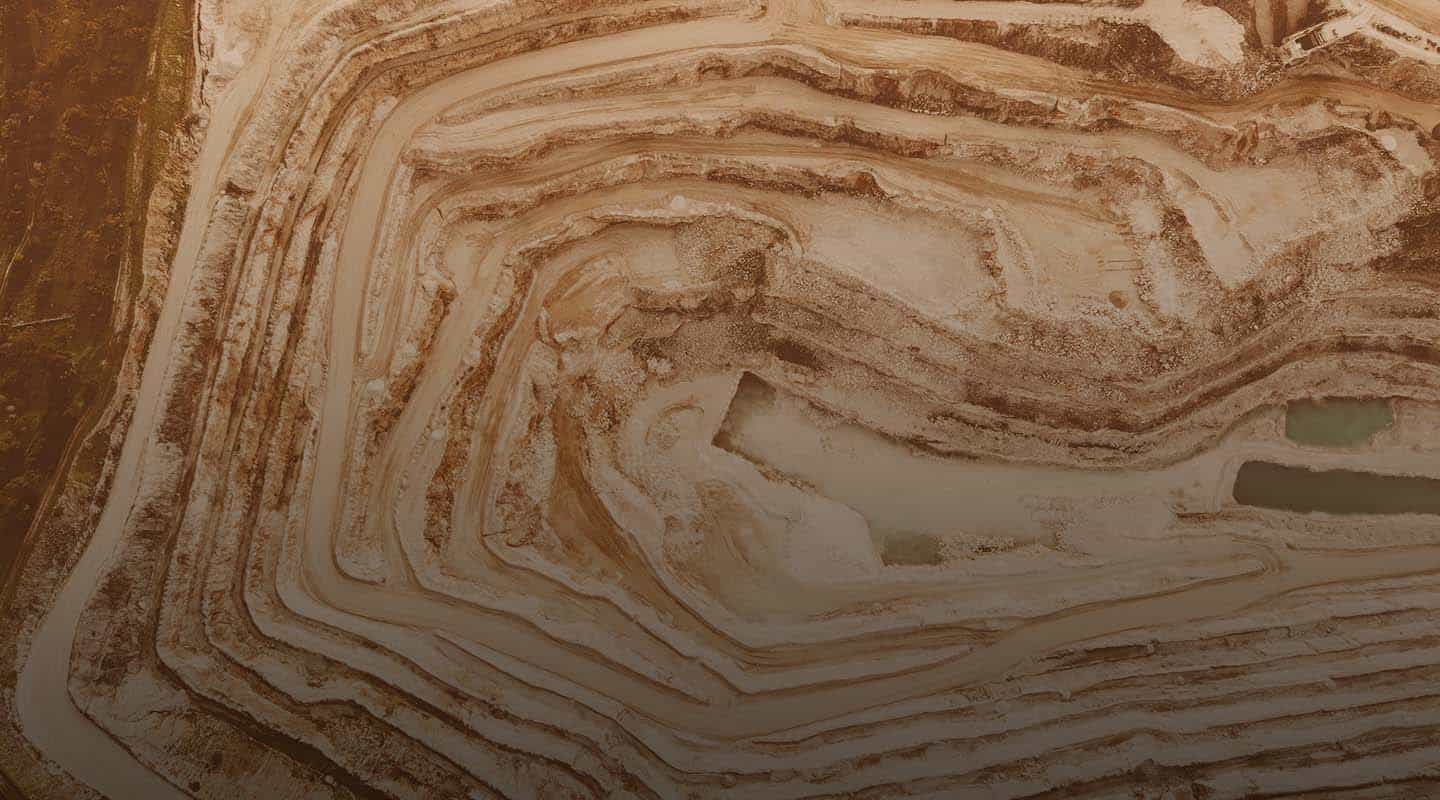
Drones for Stockpile Measurement
Drones offer a convenient and efficient way to measure stockpiles, as they can quickly and easily cover large areas and collect data from various angles. This can be especially useful for stockpiles located in hard-to-reach or hazardous areas, as it allows measurements to be taken without humans needing to access these areas.
There are multiple ways that drones can be used to measure stockpiles, but these are the most common.
3D Imaging
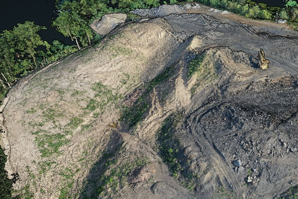
Drones can be equipped with sensors, such as LiDAR or photogrammetry cameras, to capture images and other data as they fly over the stockpile. This data can be used to create a 3D stockpile model, which can be used to calculate its volume.
Laser Scanning
High-resolution aerial images can create 3D models to help the crew determine challenges and identify potential flaws in the design, preventing waste of resources. 3D models can also keep the team on track with the original design blueprint and show clients what the finished project will look like.
Who Uses Drones for Volumetrics?
Surveyors and Geospatial Professionals
These professionals often use drones to create detailed maps and models of land and other natural features. They can use these models to calculate the volume of objects, such as stockpiles of material.
Farmers
Drones can measure the volume of crops and other vegetation, which can help track the growth and development of crops, as well as estimate agricultural yields.
Construction and Engineering Managers
Drones can measure the volume of construction materials, such as concrete, gravel, sand, and other aggregates which can help estimate quantities and costs.
Why Use Drones for Volumetrics?
Get A Quote
Take Your Project To New Heights
Whether the project takes us to a major metropolitan city, a mid-sized town, or a rural area far away from civilization, we’re ready to deploy FAA-certified pilots and follow stringent safety measures. Connect with FlyGuys for a quote, and let’s explore the right solution for you.
Please note that we are currently unable to assist in the search for missing pets. This limitation is due to the specific challenges and regulations associated with using drones for such purposes.