Drone Services for Industrial Sites
deploy to almost any location for any size project
FlyGuys provides drone services for industrial sites, refineries, transmission lines, wind turbines, offshore rigs, manufacturing facilities, sea and airports, and civil infrastructure. With a nationwide network of FAA-licensed and insured pilots, we can deploy to almost any location for any size project. For industrial drone services at an affordable price, contact us today.
Drone Inspections for Industrial Sites
Industrial sites and assets consist of complex systems with chained dependencies. Failures in one area can create costly downtime and unsafe conditions across multiple components. Refineries, manufacturing facilities, ports of entry, and other industrial sites are also subject to intense federal regulation, as are energy assets like transmission and distribution lines.
Drones are now transforming site and asset inspections, delivering detailed views within hours of takeoff. Furthermore, drone inspections, data collection, and progress monitoring are far safer for crews than traditional methods. Using advanced technologies such as LiDAR and photogrammetry along with other sensors, drones yield better maintenance and decision data to streamline compliance and prevent downtime – all while better protecting workers.
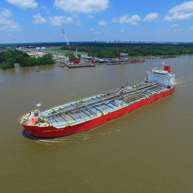
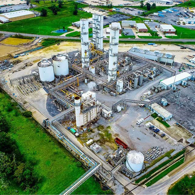
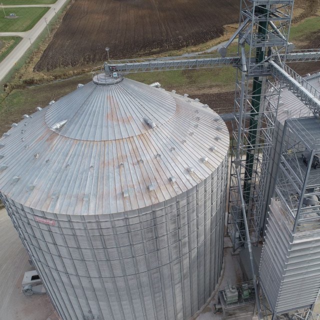
Drone Services for Oil & Gas Refineries
Drone aerial imaging helps with crucial tasks that keep refineries and offshore rigs running smoothly, profitably, and in compliance. Drones perform asset and facility inspections, industrial photogrammetry, LiDAR, and more.
- Safe, comprehensive inspections and maintenance. Use drones to collect thorough data of stacks and flares, pipelines, platforms, and more without putting workers in harm’s way.
- Fast and cost effective. Inspections at refineries and offshore sites normally take weeks to conduct, costing up to hundreds of thousands of dollars in worker hours. Drone inspections can be conducted in a matter of hours with minimal downtime.
- Quick and thorough compliance monitoring. Drones gather real-time data rapidly and provide granular imaging, allowing organizations to ensure environmental and other regulatory compliance.
- Use of advanced imaging tools. With drone aerial imaging and videography, refineries, and rigs can leverage 3D modeling, LiDAR, and industrial photogrammetry to gain deeper insights that lead to smarter business decisions.
- Improve environmental assessments. Drones can gather comprehensive data for environmental impact assessments, allowing you to identify and avoid previously hidden problems.
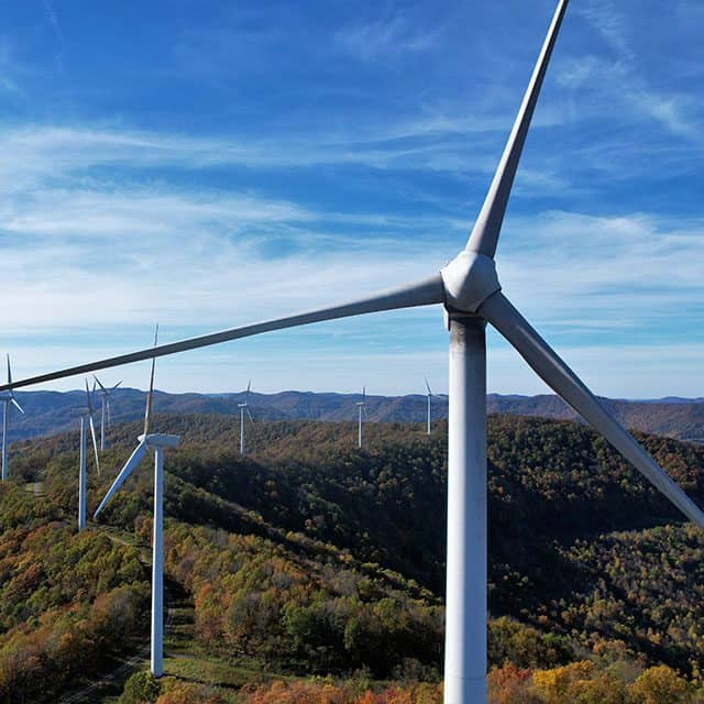
Drone Services for Transmission Lines & Wind Turbines
Inspecting assets such as transmission lines and turbines can be time consuming and costly, as well as creating risk to workers. Fortunately, drones can now efficiently inspect miles upon miles of transmission lines or volumes of expensive, high elevation turbines at a fraction of the cost of traditional methods – all from the ground.
- Improve environmental assessments. Drones can gather comprehensive data for environmental impact assessments, allowing for identification previously hidden problems.
- Improve inspection and detection. Quickly cover miles of transmission lines, poles and hardware and detect anomalies with 360-degree views, LiDAR, HD and 3D imaging. Expose line sags and clearances, hardware and pole issues and other maintenance needs.
- Identify and reduce right of way (ROW) encroachment. Vegetation, construction, and other encroachments pose a danger to assets and impact line operation. Use drones and LiDAR data to perform periodic line patrols and easily inspect for encroachments
- Integrate data into PLS-CADD systems. Using PLS-CADD (Power Line System Computer Aided Design & Drafting) combined with drone LiDAR data delivers greater modeling around ROW encroachments and enables sag-tension analysis to identify ratings discrepancies.
- Increase inspection speed and frequency. Leverage drone flight automation to fly the same routes repeatedly, at specified intervals, for before / after comparisons. Perform more frequent inspections cost-effectively to learn where changes have occurred and where assets need attention. Today’s drones can also calculate the most efficient routes and flight patterns to inspect assets faster.
- Verify and maintain in as-built condition. Perform field verification measurements after transmission line construction or maintenance projects are completed to meet standards and specifications, and to ensure reliability.
- Capture blade defects more accurately. Drones can capture wind turbine blade defects from weather and wear more accurately than the human eye, allowing for more precision maintenance activity that extends asset life.
- Integrate with asset management systems. Cascade drone inspection data through your existing asset management systems to streamline maintenance scheduling, component orders and more.
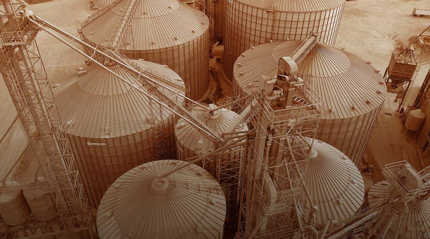
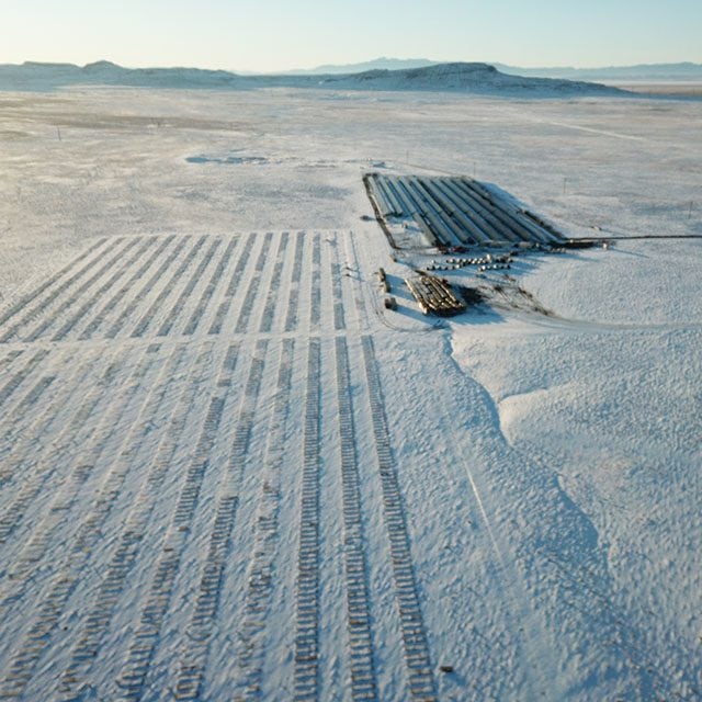
Drone Services for Manufacturing & Warehouse Facilities
Today’s leading manufacturers leverage drones to streamline and expedite tasks in their factories and warehouse facilities.
- Rapid, thorough, and safe inventory inspection. Use drones to conduct quick and comprehensive inventory inspection, scanning rows of shelves at any height. Not just for big box stores – any organization needing a visual inventory inspection of vast amounts of merchandise can leverage drones more cost-effectively than other methods.
- Comprehensive oversight. Drones allow manufacturers and warehouse managers to get an aerial 360-degree view of their location. See security vulnerabilities, safety hazards, project progression, roof and facility maintenance needs and more within a couple hours of take off.
- Perform thorough equipment inspection. Reduce equipment breakdowns by using drones for equipment maintenance and inspection. Quickly gather granular visual information that pinpoints issues and reveals where targeted actions are needed to prevent equipment failure.
- Resource scouting. Manufacturers looking for new resources for raw materials can use drones for efficient scouting.
Drone Services for Civil Infrastructure
Governmental authorities at the federal, state and municipal level can leverage drones to understand the status and impact of roadways, bridges, dams, rail projects and more.
- Safely and affordably inspect dangerous areas. Drones can do the inspection work of multiple workers. Sending drones to inspect industrial assets and infrastructure saves cost and protects workers.
- Comprehensive data collection. Drones gather details through 360-degree visual data that can be used to create 3D maps, provide topographical analysis, and more.
- Environmental and ecological impact assessments. Use drones to gather comprehensive insights for rigorous environmental impact assessments.
- Survey for disaster preparedness. Drones help expose infrastructure details to aid in better disaster planning and mitigation.
Get A Quote
Take Your Project To New Heights
Whether the project takes us to a major metropolitan city, a mid-sized town, or a rural area far away from civilization, we’re ready to deploy FAA-certified pilots and follow stringent safety measures. Connect with FlyGuys for a quote, and let’s explore the right solution for you.
Please note that we are currently unable to assist in the search for missing pets. This limitation is due to the specific challenges and regulations associated with using drones for such purposes.