Energy
Drones for Energy Site Management
Drones provide the energy industry with reliable and affordable solutions, making site inspections faster, safer, and more accurate. FlyGuys gives organizations access to a nationwide network of experienced, licensed pilots who can quickly and easily cover large areas of rugged and forested terrain and evaluate project locations.
Energy Site Drone Services
Many sectors within the energy industry can leverage 3D modeling, LiDAR, and industrial photogrammetry to meet critical needs. Whether improving the speed and effectiveness of asset inspections mapping out an area prior to the construction of an energy site, our drone services provide the crucial insight for site management.
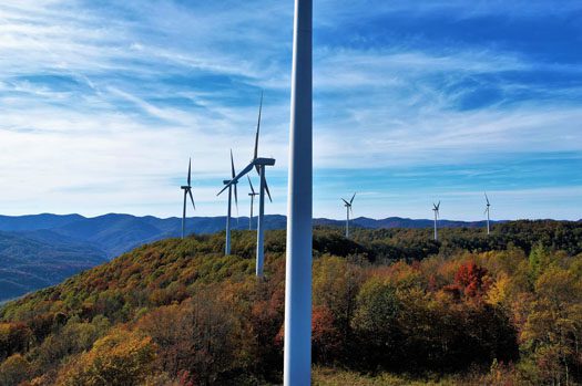

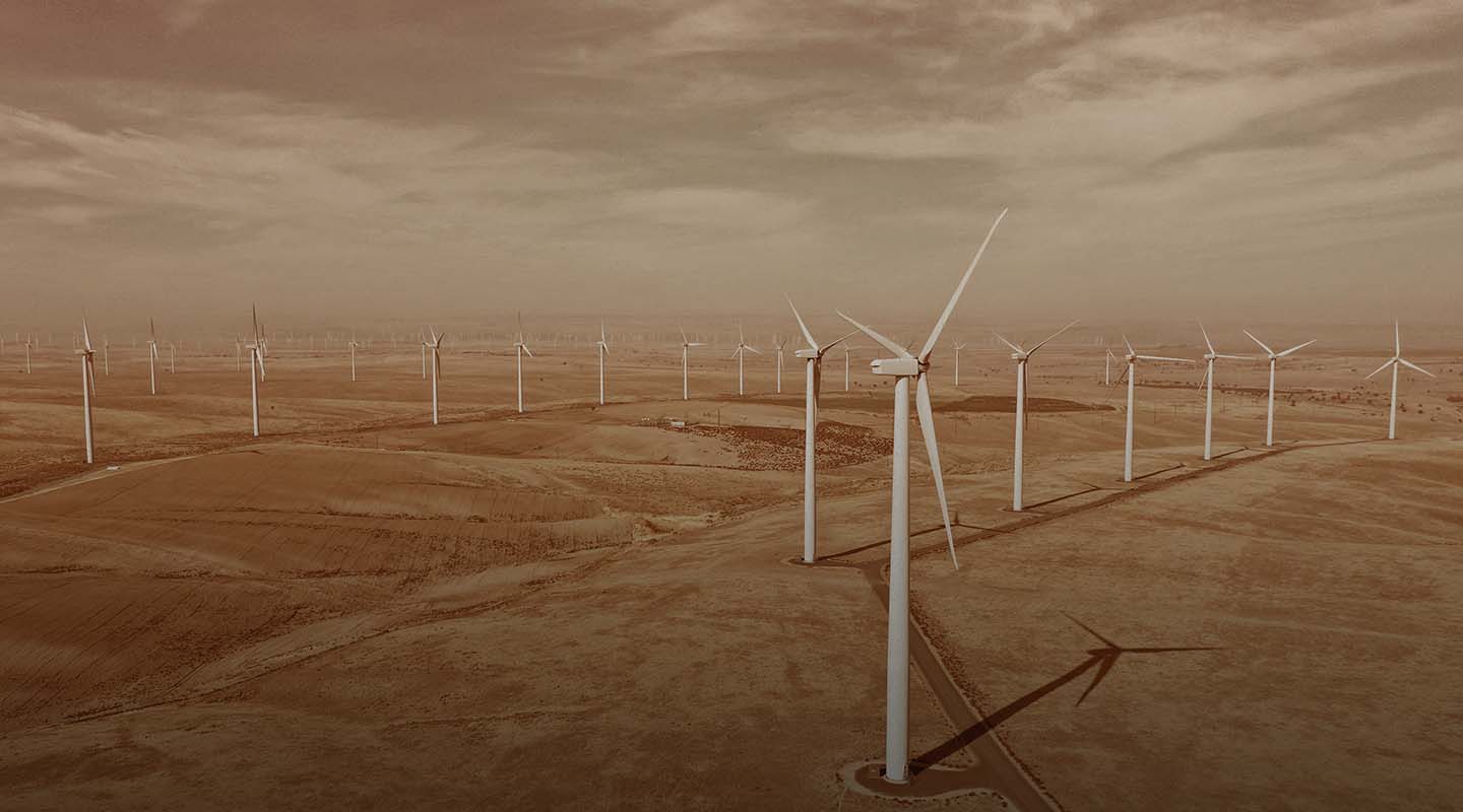
Wind Turbines & Telecommunications Drone Inspections
Both the wind power industry and telecommunications industry rely on high-elevation assets, whether they are turbines or towers. Drone imaging offers the following advantages:
FlyGuys drone pilots are FAA-certified, insured and ready to help with wind turbine and cell tower management. Contact us to learn how we can help.
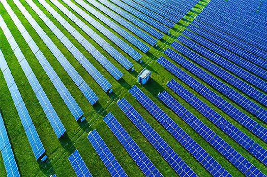
Drone Services for Solar Farms
Spanning thousands of acres of open land, solar farms need to maximize both space and solar charging capability while improving inspection and energy yields over time. The integration of drone technology improves the efficiency and accuracy of solar farm inspections, as well as minimizing the challenges that on-site teams face, such as highly irradiated areas.
Drones make this possible:
Pre-Construction Surveying & Mapping
Through drone scanning, we can use several methods including LiDAR, infrared, and high-resolution RGB to obtain accurate positional data. We can also provide 3D images that improve your design to maximize both land use and solar charging capabilities.
Drive Higher Energy Yields
By performing thermal surveys of the solar farm, you’ll have the data necessary to determine areas of underperformance as well as inspect racking & mounting, inverters, panels, site vegetation or soiling issues quickly and inexpensively at utility-scale solar farms to maximize the site’s revenue. FlyGuys works closely with our technology partners to deliver industry-leading analysis.
FlyGuys brings experienced, FAA-licensed, insured pilots and data services for energy asset inspections.
FlyGuys pilots are FAA licensed, insured, and experienced. Contact us today to learn more about how we can help with solar energy site management.
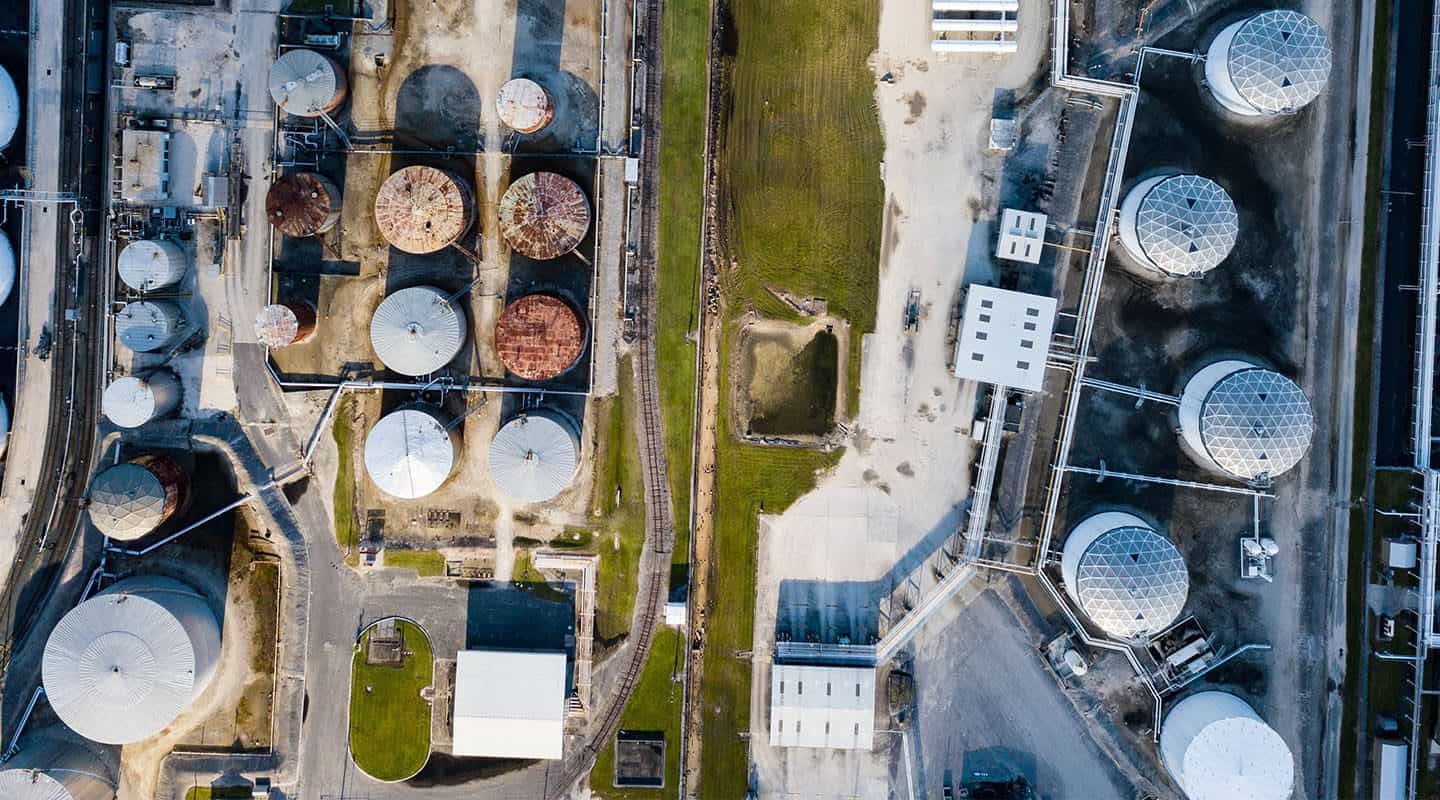
Drones in Oil & Gas
The oil and gas sector has seen a boom in recent years due to rising demand from developing economies. As a result, the industry faces many challenges such as increasing cost of production and environmental concerns. Drones are increasingly used in the oil and gas sector due to their ability to provide high-resolution imagery at a relatively low cost.
Drone Inspections for Oil & Gas Pipelines & Refineries
The oil and gas sector has seen a boom in recent years due to rising demand from developing economies. As a result, the industry faces many challenges such as increasing cost of production and environmental concerns. Drones are increasingly used in the oil and gas sector due to their ability to provide high-resolution imagery at a relatively low cost.
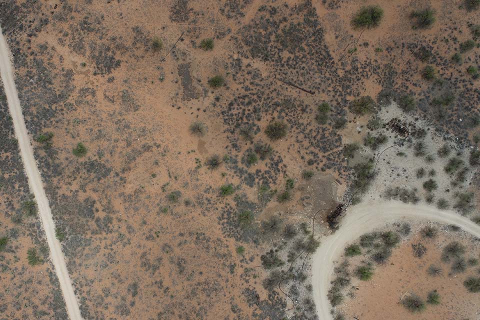
Drilling Site Selection
Drones help companies find new drilling sites by providing high-resolution images of potential locations and identifying areas where obstacles could affect drilling operations, such as mountains or other geographical features. This helps save time and money by avoiding areas where it would be costly or impractical to drill for resources, such as shale gas deposits deep underground.
Reservoir Analysis
Drones can analyze reservoirs which is a crucial part of any oil or gas project. Drone surveys are used to assess the condition of rock layers and how they interact with wellbores, which helps determine how much drilling fluid should be pumped down into a wellbore, how well a reservoir holds water, and where cracks or faults are located.
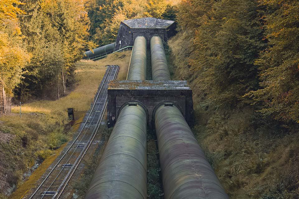
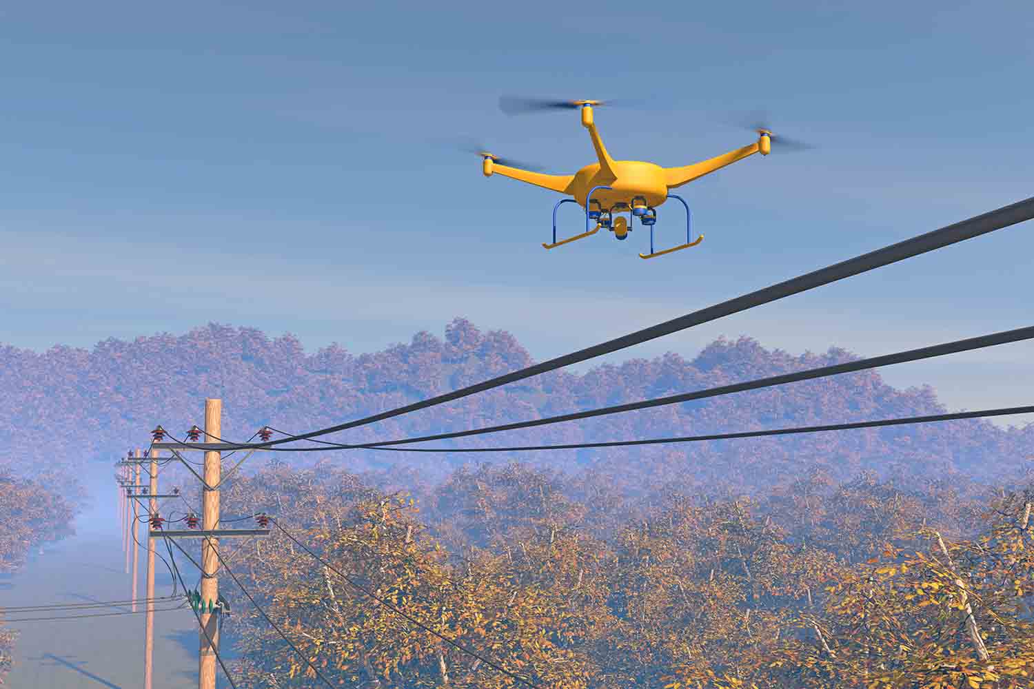
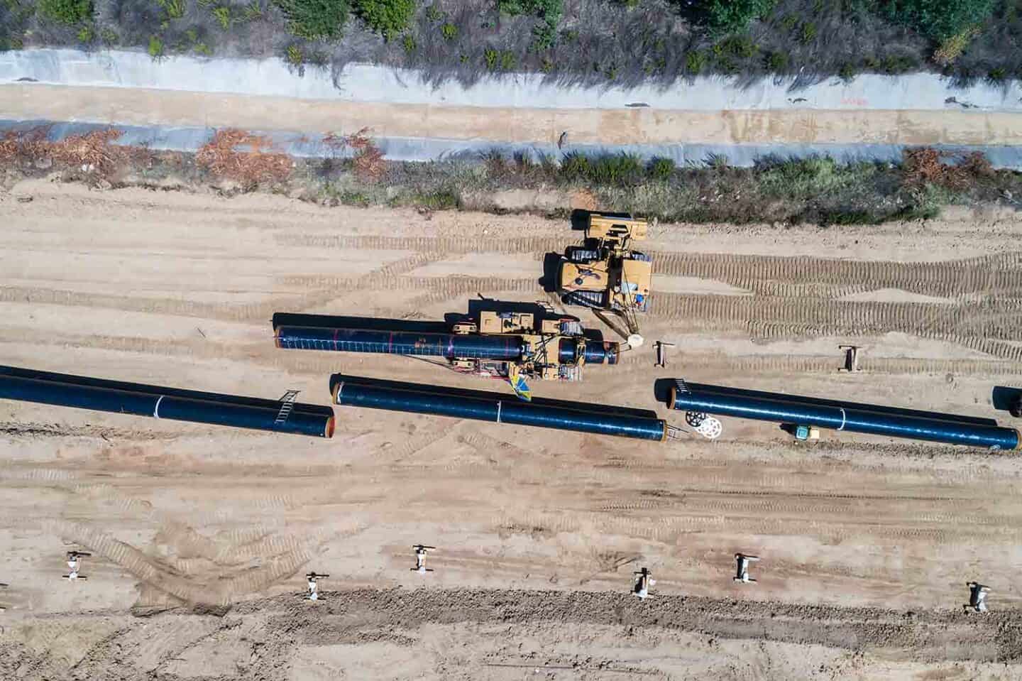
Pipeline Inspections
A drone can detect structural defects, system deficiencies or potentially hazardous situations up close and non-disruptively with ultrasonic sensors and high-tech visual inspection equipment, like infrared cameras and thermal imaging devices.
This methodology has proven highly effective in assessing the condition of oil and gas pipelines, storage tanks, and tanker ships. Additionally, companies can predict breakdowns and leaks by combining drone data with sophisticated data analysis methods.
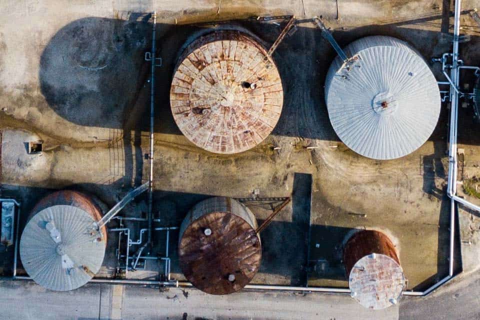
Internal Tank Inspections
One of the most common uses for drones in oil and gas is for internal tank inspections. A drone gives inspectors an aerial view of tanks to spot corrosion, leaks, and other defects they’d never see from the ground.
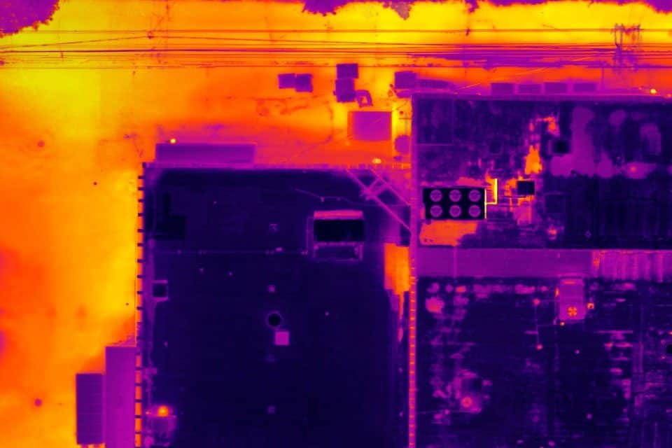
Offshore Thermal Inspection
Drones capture thermal images and send them to the operator at each inspection point. Drone offshore inspections are faster than traditional inspections, requiring no on-site personnel and having minimal impact on operations.
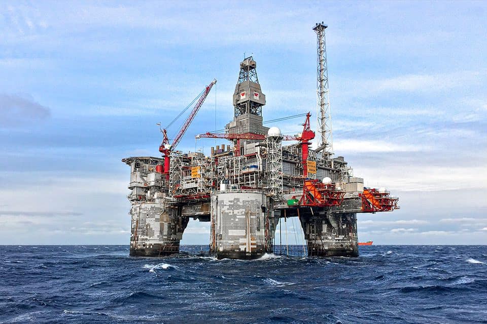
Surveying a Platform for Design & Evacuation Plan
Drones are useful for surveying platforms because they allow quick and easy access to any area without climbing ladders or using boats. This is especially useful if there’s an emergency and you must evacuate people fast.
FlyGuys is Your Drone Service for Oil & Gas
The adoption of drones for oil and gas companies can significantly improve the safety and the efficiency of infrastructure inspections. Drone technology prevents plant shutdowns and operation delays during mandatory inspections, reduces maintenance times, and reduces the resources needed to carry out inspections.
Comprehensive Inspections and Maintenance
Using drones to inspect equipment and gather data on stack and flares over platforms and across miles of pipelines minimizes liability and prevents worker injuries.
Reduce Cost and Time of Inspections
Ground-based inspections at refineries and on offshore sites can take weeks to complete, costing thousands of dollars in both labor hours and downtime. Drones can be used to gain more accurate data in a shorter period of time.
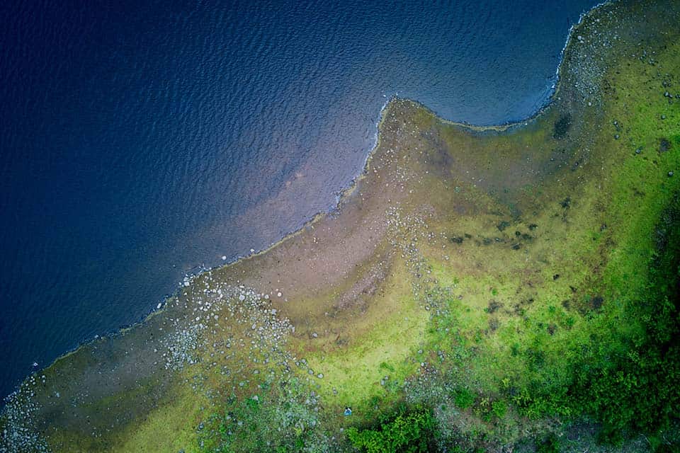
Accuracy
Drones provide accurate data for soil quality, erosion rates, water samples, etc. As a result, companies can maximize the productivity of their lands.
Safety
Reduce on and offshore mishaps. Increase safety for rig workers and inspectors. Preserve wildlife. In extreme time-sensitive situations like a defect or spill a drone can send info in real-time to make quick, possibly life-saving decisions.
Consistent Monitoring for Maintenance and Compliance
Oil and gas companies must comply with strict regulations and environmental compliance. Drones gather real-time data and granular imaging to ensure regulatory compliance.
Control of Methane Emissions
In the fight against global warming and climate change, the oil & gas industry is paying more attention to reducing methane emissions. Consequently, companies are using high-tech sensing devices like drones to get real-time data.
Transform Your Energy Site with FlyGuys.
FlyGuys draws on a nationwide network of licensed, insured drone pilots with the experience and knowledge necessary to scan energy sites. From acres of wind turbines to miles of oil pipelines, our teams can provide high-resolution images and video for inspections or highly accurate topographic maps that will provide critical insight.
Get A Quote
Take Your Project To New Heights
No matter where your project is located, FlyGuys connects you with certified, FAA-compliant drone pilots ready to capture the data you need—quickly, safely, and reliably.
Request a quote today and let our team match you with the right drone solution for your project.
Please note that we are currently unable to assist in the search for missing pets. This limitation is due to the specific challenges and regulations associated with using drones for such purposes.