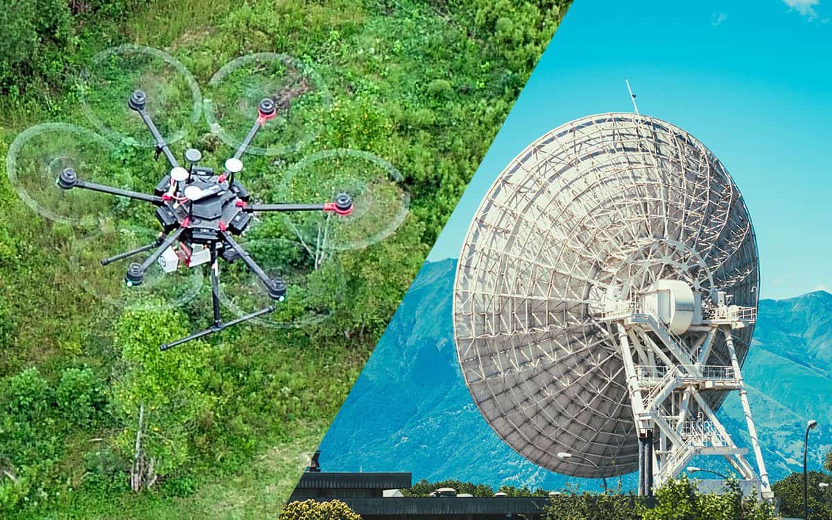
LiDAR vs RADAR: What’s the Difference?
Learn how LiDAR and RADAR differ in their sensing methods and capabilities. We break down why one is better for some applications.
Learn how LiDAR and RADAR differ in their sensing methods and capabilities. We break down why one is better for some applications.
A Point cloud is the foundation for 3D maps and models. Learn more about how they’re created, what they are, and how they are used.
Traditional land surveying or drone surveying: which is right for your project? We’re weighing which one may be right for you.
Learn how the 7 key uses of LiDAR in Agriculture can aid in planning how crops are planted, maximize output, and minimize costs.
Debating between having an in-house drone program or hiring an independent company? Here are 5 reasons to outsource drone services.
Drones provide accurate data for your industrial or construction inspection needs, minimizing safety risks for workers. Learn More!
Using LiDAR technology for archaeology is creating new opportunities for previously unattainable powerful discoveries. Learn More!
Here are benefits of using drones for land development. Accurate knowledge of the land is essential in land development projects.
For accurate mapping & surveying, two leading technologies used are photogrammetry & LiDAR. Find out which is right for your project!
We are breaking down the advantages and disadvantages of LiDAR technology and if it's the right application for your project. Learn More!
Drone Solar Farm Inspections can help make informed decisions quickly, whilst reducing costs and improving efficiency. Learn More!

At the DJI AirWorks show in Dallas, DJI announced the launch of the highly anticipated Mavic 2 Enterprise drone. Read more about it here.