Skip to content
FlyGuys
Menu
  • Drone Services

    Drone Services

    Improve Jobsite Safety, Minimize Costs & Increase Efficiency

    Drone Services
    • Premium Services
    • LiDAR
    • Aerial
    • Surveying & Mapping
    • Inspections
    • Consulting
    • Volumetrics
    • LiDAR
    • Surveyors And Mappers Hero Image
      Surveying & Mapping
  • Industries

    Industries We Serve

    Your Industry, Our Mission

    Industries
    • Agriculture
    • Cell Tower Inspections
    • Construction, Architecture, and Engineering
    • Emergency & Disaster
    • Energy
    • Industrial
    • Marketing
    • Mining
    • Real Estate & Insurance
    • Transmission & Distribution
    • Other Industries
    • Other Industries Page Hero Image
      Other Industries
  • About

    About FlyGuys

    Pioneering Reality Data-Capturing Technology

    About
    • About
    • Partners
    • Team
    • How FlyGuys Works
    • News
    • Blog
    • Podcast
    • fly guys team and ribbon cutting
      Team
    • Person holding drone remote
      How FlyGuys Works
  • Industry Insights
  • Case Studies
  • FAQ
  • Careers
  • Contact
  • Get a Quote
  • Be a Pilot
  • Industry Insights
  • Case Studies
  • FAQ
  • Careers
  • Contact
Pilots should review data
Drone Services 3 min read

Seeing Is Believing: Why Every Pilot Should Review Their Data Before Leaving the Site

Learn why it is so important for drone pilots to check their data before leaving the site.

Continue Reading
Reality Data Capture
GIS 4 min read

Thankful for the Reality We Capture Together

Continue Reading
GIS is only smart as your data
GIS 4 min read

Your GIS Is Only as Smart as Your Data Source

Learn why high-quality data is the backbone of every smart, accurate GIS workflow.

Continue Reading
Prepping for Ag Season
Drone Services 4 min read

Prepping for Ag Season: How Reality Data Capture and AI Are Changing the Game for Farmers

Prep for ag season with drone data and AI insights to boost yields and plan smarter.

Continue Reading
FlyGuys and Vertex
Drone Services 3 min read

Scaling Aerial Mapping: How FlyGuys and Vertex Combine Drone and Aircraft Data Solutions

See how FlyGuys reality data capture is collaborating with unmanned services of Vertex

Continue Reading
FlyRoute Owner
Drone Services 4 min read

Own Your Future: How Drone Pilots Can Become FlyRoute Business Owners

Become a FlyRoute Owner and be invited to attend Discovery Day this fall in Denver 2025

Continue Reading
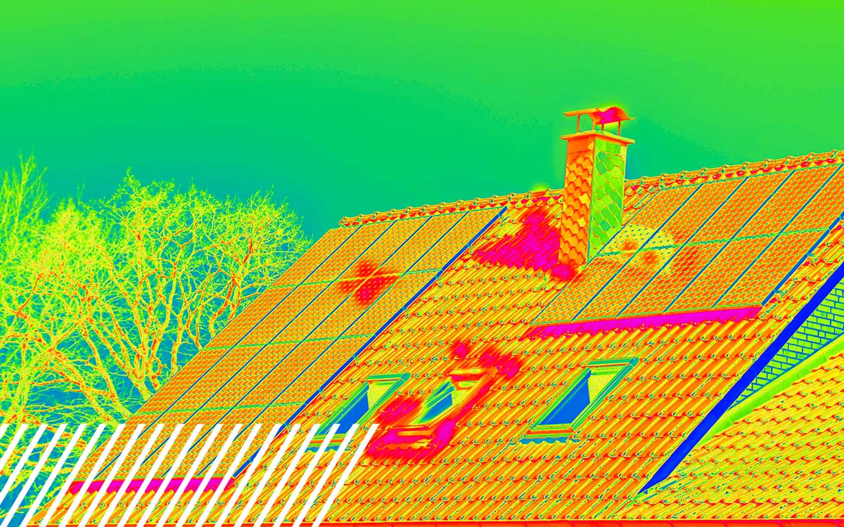
Roofing Inspections
Roofing 4 min read

The Competitive Edge: How Reality Data Capture Wins More Roofing Contracts and Saves Thousands

Win more roofing bids and boost ROI with drone-based reality data capture for accurate insights.
Continue Reading
Drone Thermal analysis
Drone Services 3 min read

Drone Thermal Roofing Analysis – FAQs

All of your thermal roofing inspection questions answered. Learn how drones can inspect your roof.

Continue Reading
Construction-Teams-and Reality-Data-Capture
Drone Services 3 min read

Why Siloed Information is Costing Construction Teams and How Reality Data Capture Fixes It

Break data silos with Reality Data Capture to boost construction accuracy and efficiency.

Continue Reading
FlyGuys and Flock Safety
Drone Services 5 min read

How FlyGuys and Flock Safety Are Partnering to Deter Crime

Continue Reading
Golf Mapping
Drone Services 3 min read

From Above to On-Cart: How Drone Data Powers Digital Golf Cart Maps

Reality data capture helps to enhance golf games by creating accurate course maps.

Continue Reading
Kevin O'Leary
Drone Services 4 min read

Kevin O’Leary Interviews FlyGuys’ Joe Stough On the Transformational Future of Drones, Reality Data, and AI

Watch as Kevin O’Leary grills FlyGuys CEO Joe Stough on scaling drone-powered data, fueling AI innovation, and why culture drives success.

Continue Reading
Page 4 of 15
  • « Newer
  • 1
  • 2
  • 3
  • 4
  • 5
  • 6
  • 7
  • …
  • 14
  • 15
  • Older »
FlyGuys

FlyGuys 221 Jefferson Street
Lafayette, LA 70501

Phone:
1-888-837-0940
  • Get a Quote
  • Be a Pilot
  • Facebook
  • LinkedIn
  • YouTube
  • Instagram
  • X (Twitter)
  • About
    • Team
    • How FlyGuys Works
    • Careers
    • FAQ
    • News & Press Releases
    • Blog
    • Locations
    • Contact
  • Services
    • LiDAR
    • Aerial Imaging
    • Surveying & Mapping
    • Inspections
    • Consulting
    • Volumetrics
  • Industries
    • Agriculture
    • Cell Tower Inspections
    • Construction, Architecture, and Engineering
    • Emergency & Disaster
    • Energy
    • Industrial
    • Mining
    • Transmission & Distribution
    • Marketing
    • Other Industries

FlyGuys provides technology solutions and services for aerial data acquisition. FlyGuys is not a state-licensed professional engineering or land surveying firm, and its employees are not state-licensed professional engineers or land surveyors. All content on this website including text, graphics, images, and other material is intended for general information only. This content is not applicable to any specific context or condition. It is not a substitute for state-licensed professional engineering or land surveying services, or an offer to provide such services.

© 2026 FlyGuys

  • Privacy Policy
  • Terms & Conditions