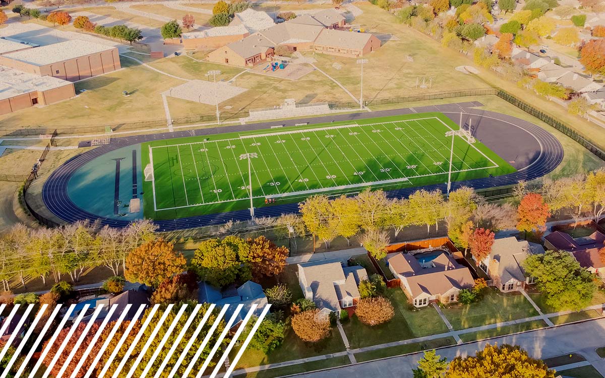
Game On: How Reality Data Capture is Transforming Football
FlyGuys has partnered with FlyRoute, the top provider of drone filming for athletic programs.
FlyGuys has partnered with FlyRoute, the top provider of drone filming for athletic programs.
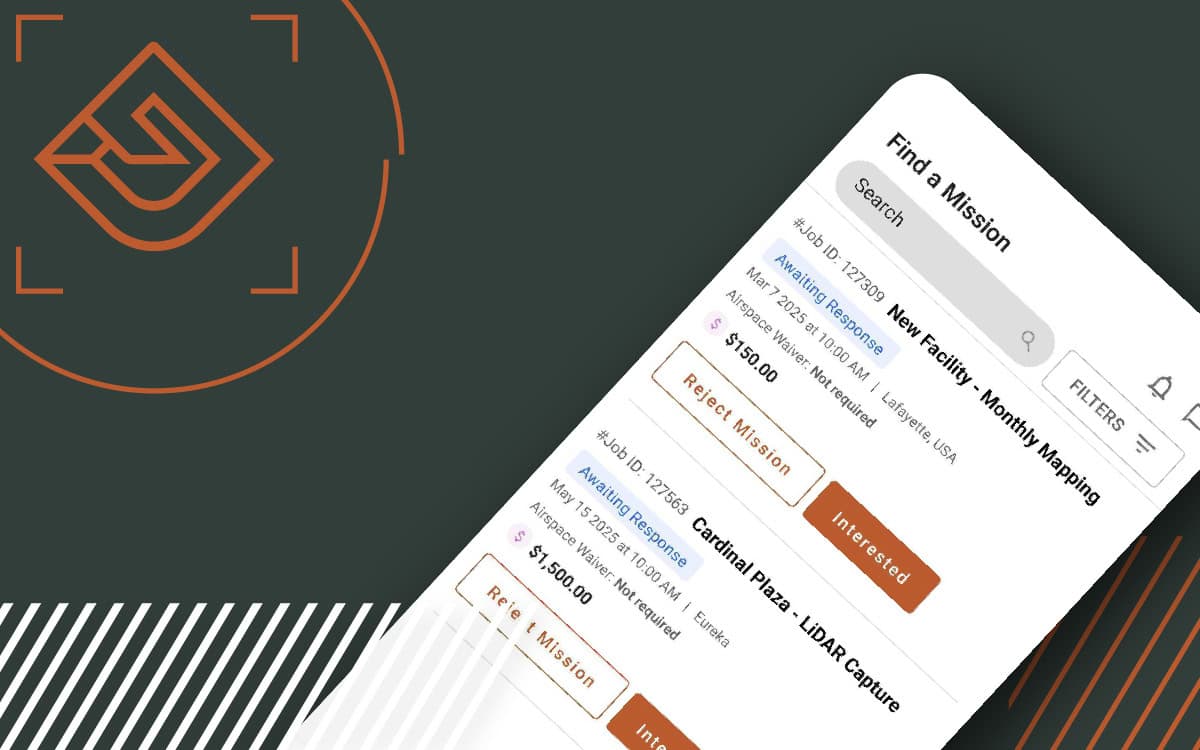
The FlyGuys Pilot App is here, making mission management easier than ever. Download today.
What is the FAA Part 108 and what does this mean to drone pilots nationwide? Hear from an industry expert.

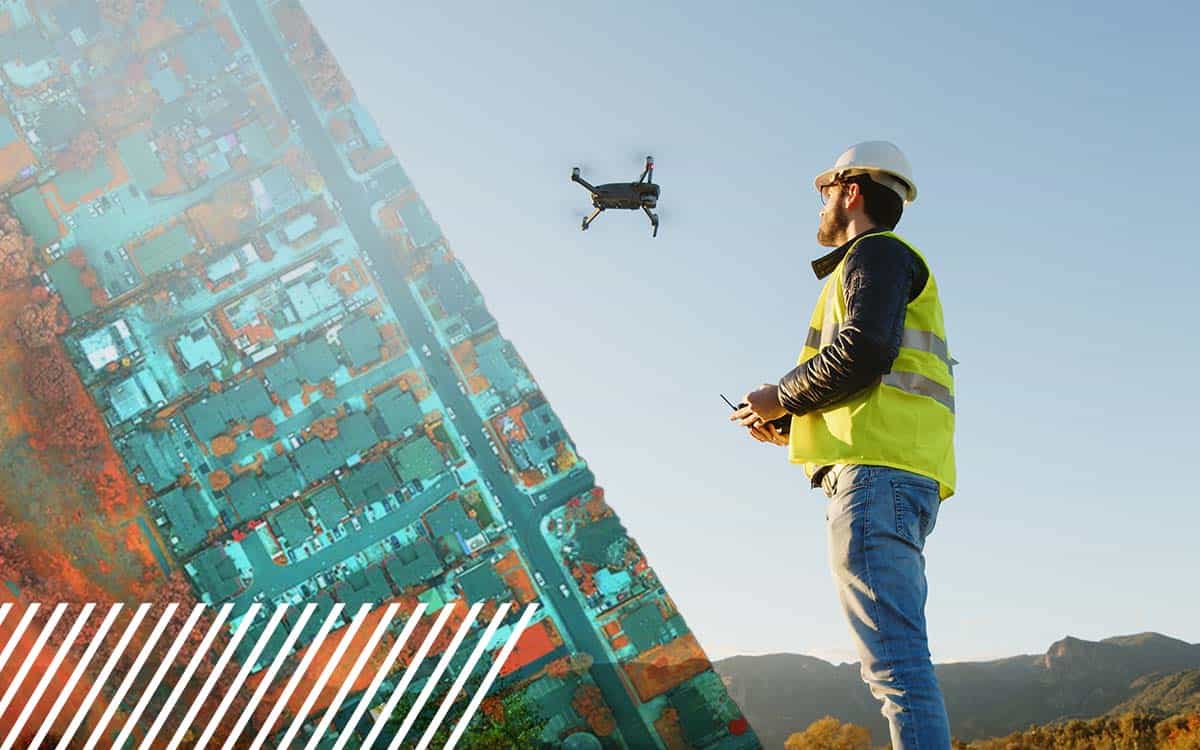
Discover how FlyGuys evolved from drone services to a nationwide leader in reality data capture across industries.

Discover how FlyGuys’ reality data capture and Datumate’s automation are transforming heavy civil construction projects.
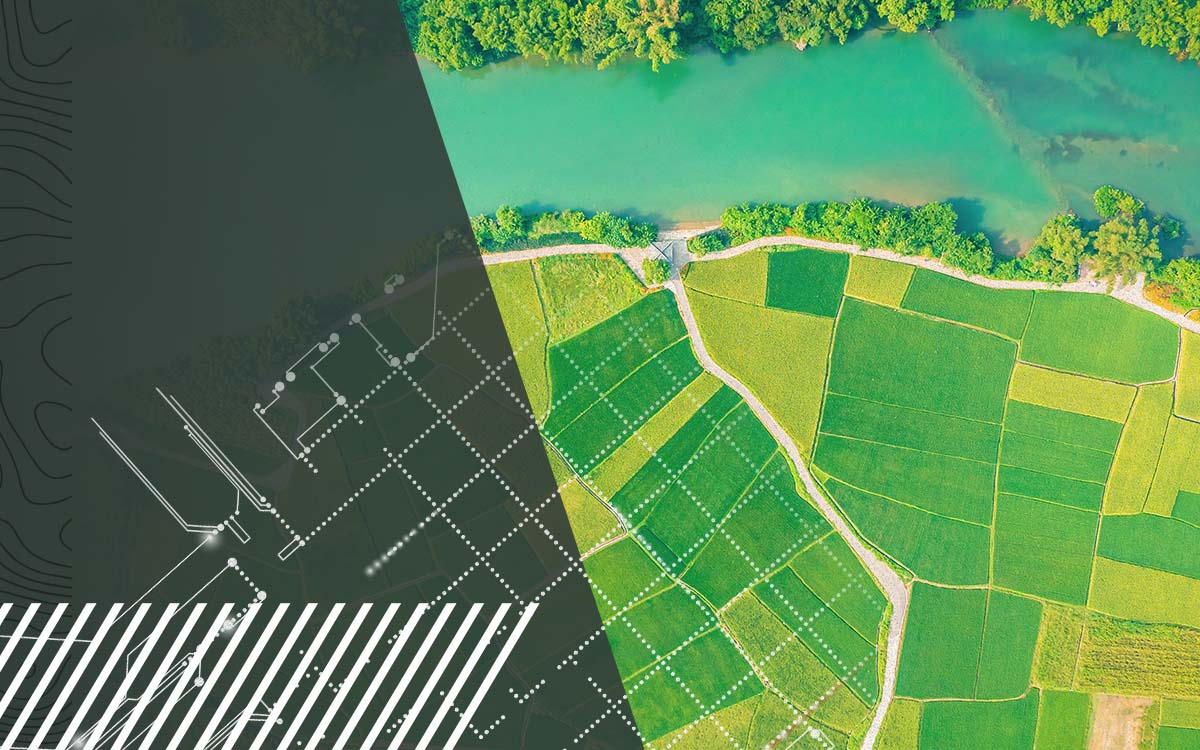
Discover how FlyGuys reality data capture powers AI software in the agriculture industry.

Discover how FlyGuys reality data capture powers AI software for industries across the nation.
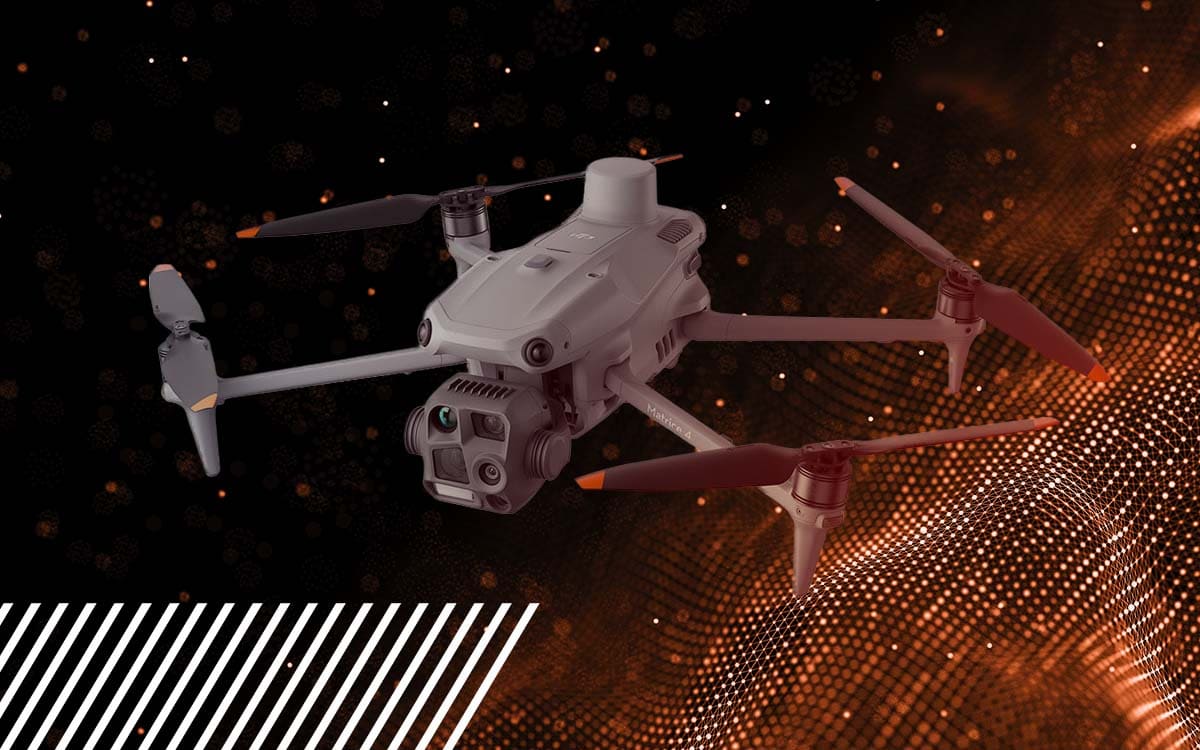
Discover the DJI Matrice 4E & 4T—enhanced flight time, built-in RTK, and advanced imaging to elevate your drone operations.
Comparing the Mavic 3 Multispectral, MicaSense, and Sentera sensors for your next drone pilot job.
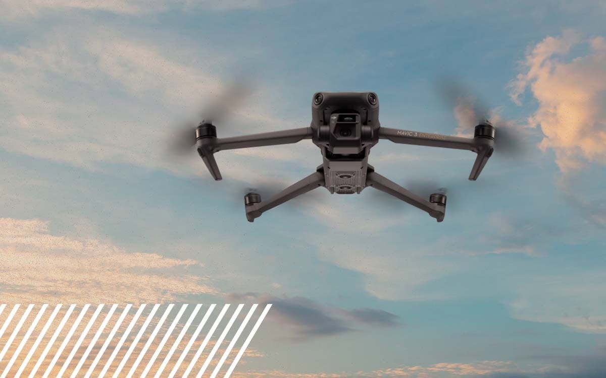
Whether you are a novice pilot or looking to get into the industry, you might find details about the drone we use quite helpful.
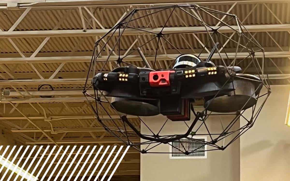
Discover how confined space drones redefine inspections, enhancing safety, reducing costs, and capturing high-quality data in challenging environments.