
Why Utility Companies Are Turning to High-Density LiDAR for Asset Management
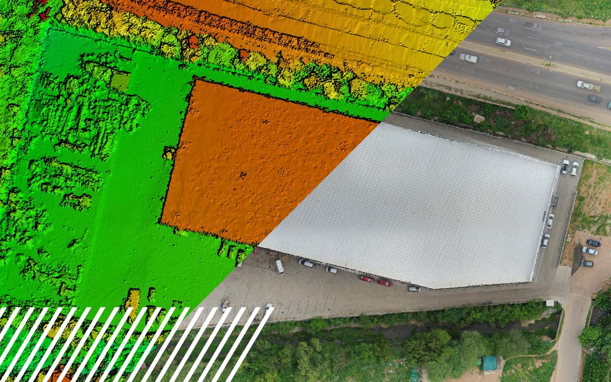
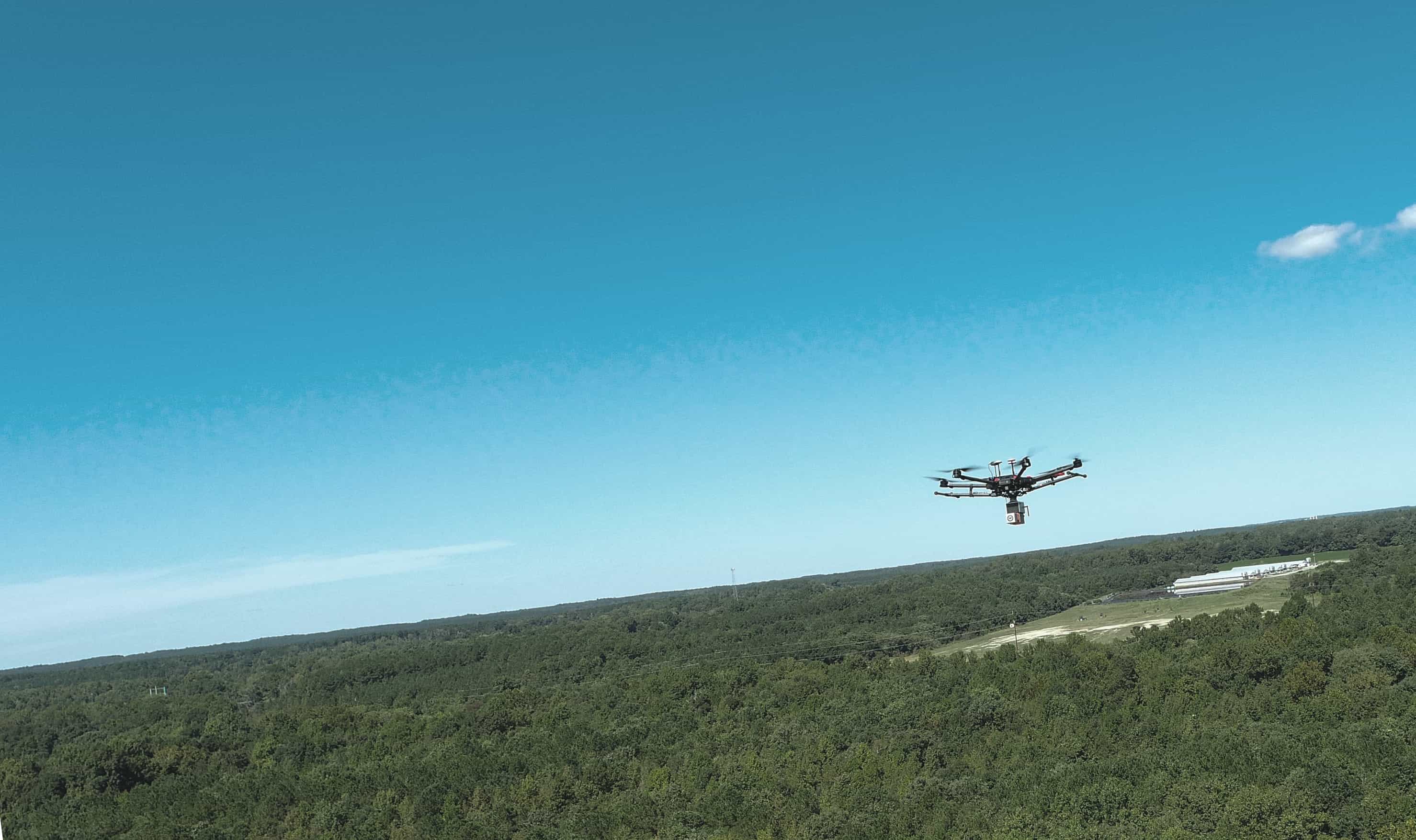
Utility companies are increasingly adopting high-density LiDAR to gain a more accurate, efficient view of their infrastructure. From detecting vegetation encroachment and monitoring transmission assets to improving safety and regulatory compliance, drone-based LiDAR provides the detailed reality data needed to make smarter maintenance and asset management decisions.