Data Collection Services
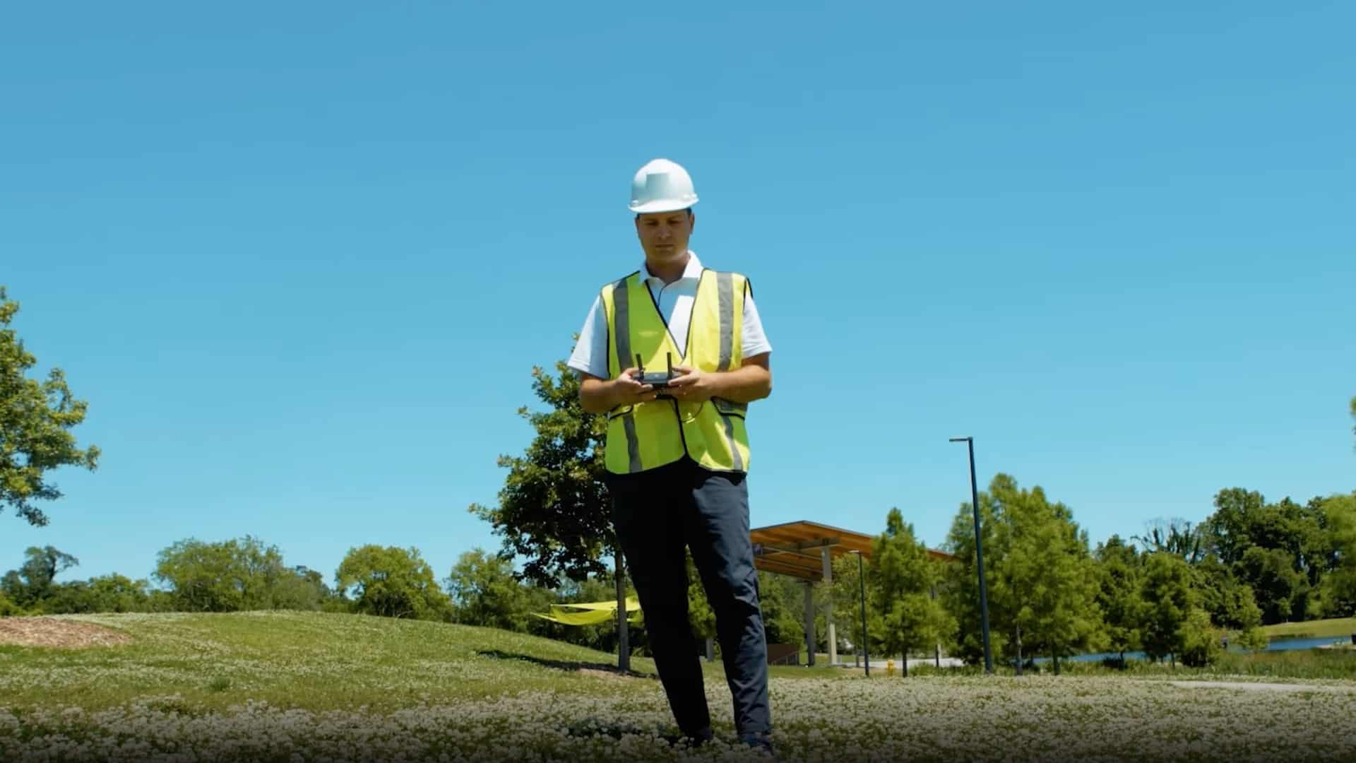
Improve Jobsite Safety, Minimize Costs & Increase Efficiency
FlyGuys is innovating the science of data — with versatile, adaptable, and multi-fascinated services that are perfectly matched to fit the unique needs of your project.
Drone Imaging & Beyond
We’re unlocking their full potential by pairing high-end sensors and cameras with data analysis to transform captured images into highly detailed data sets, 3D models, and more.

FlyGuys
Find The Service That’s Right For Your Project
Schedule A Consultation With A Data Expert.
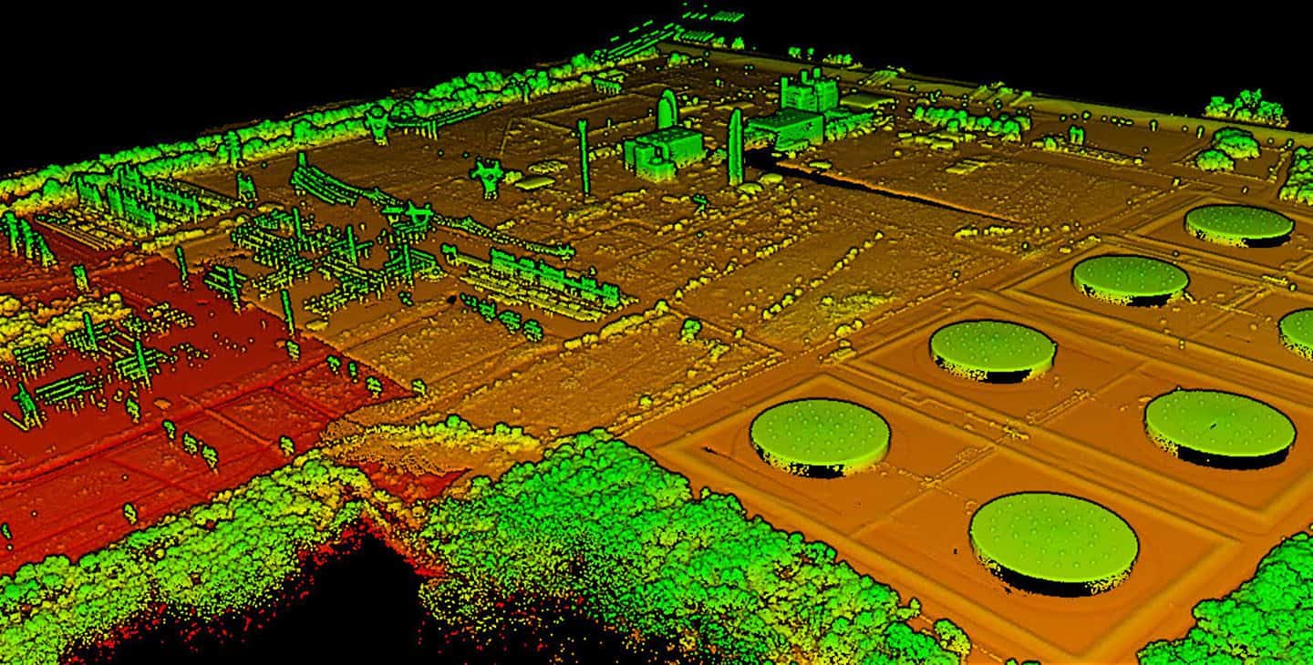
LiDar
Use Light Detection and Ranging (LiDAR) to examine the surface of the earth by measuring the reflection of light from the surface. Using GPS and inertial measurement, LiDAR can help you create 3D models, topographical maps, and contour maps.
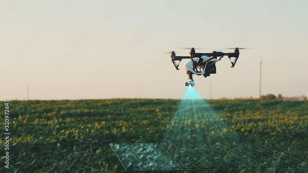
Aerial Imaging
See your project from a new vantage point with a variety of video, still, and thermal images – expertly packaged in immediately usable formats.
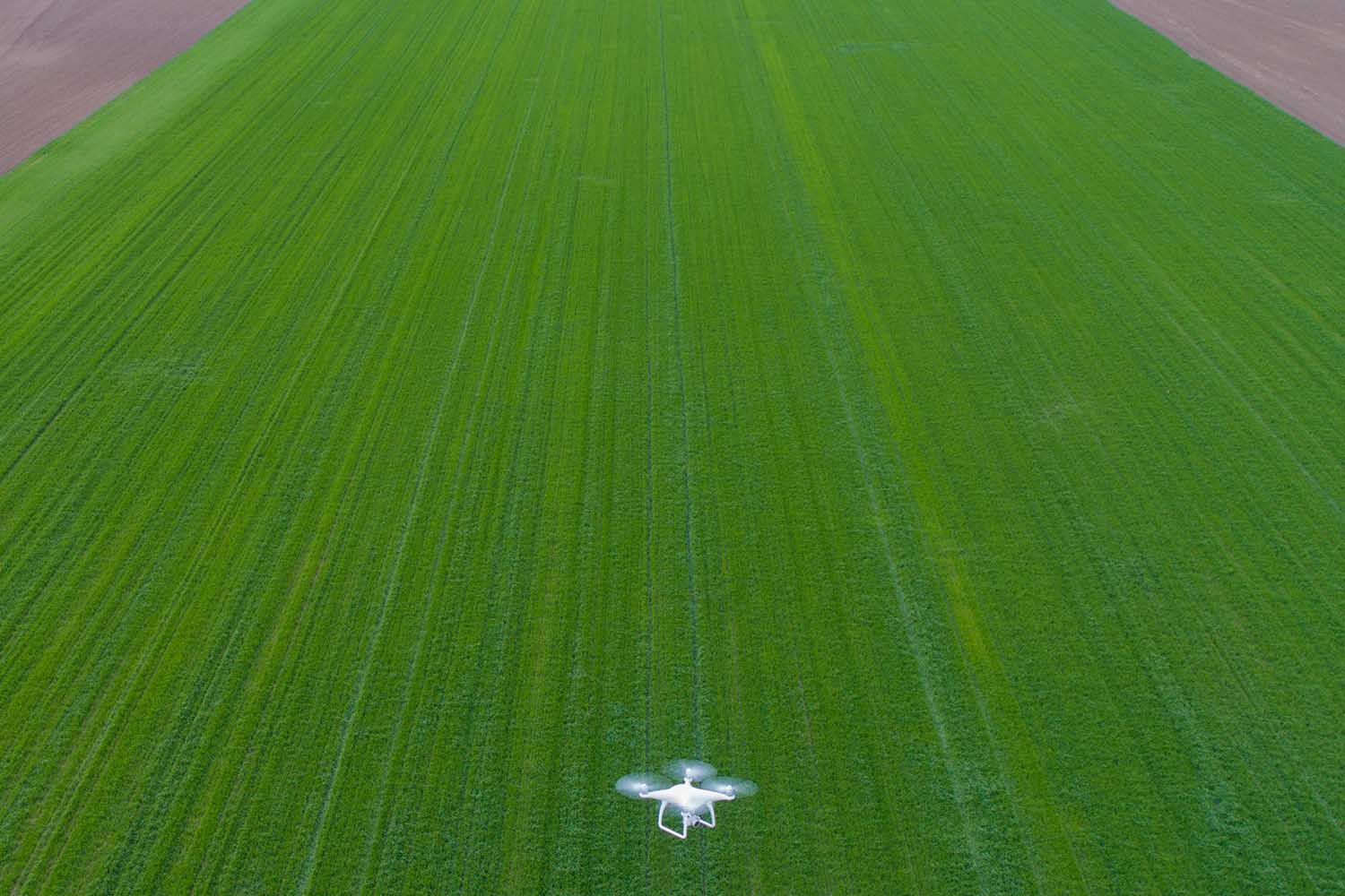
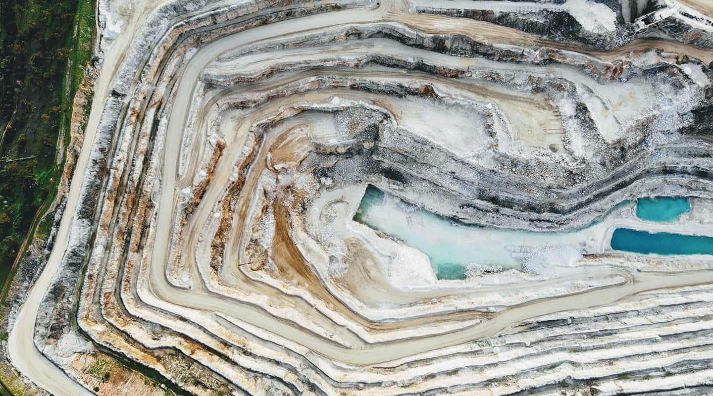
Surveying & Mapping
Scan mountainous terrain, icy locations, and areas where wildlife may be a concern – creating a safer environment for your team.
Consulting
Get your very own drone program off the ground with expert consulting from the FlyGuys team. We’ll also help ensure cost-efficiency, regulatory compliance, and safety.
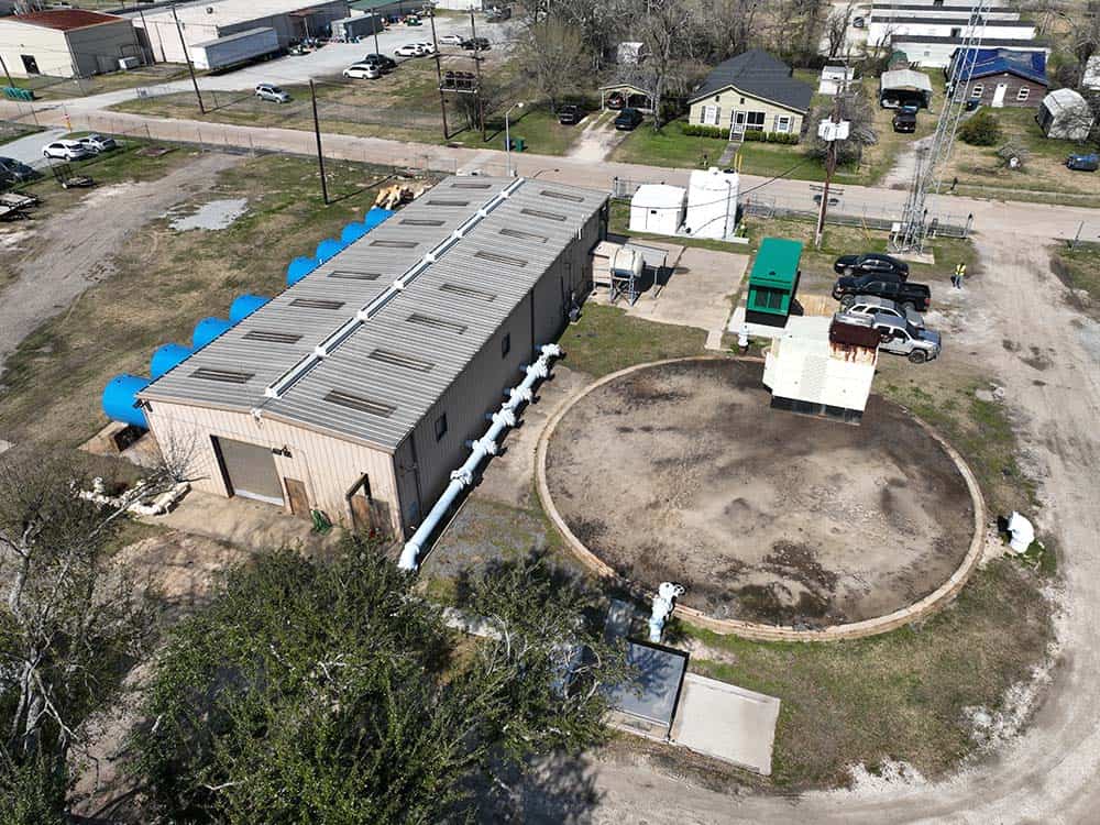
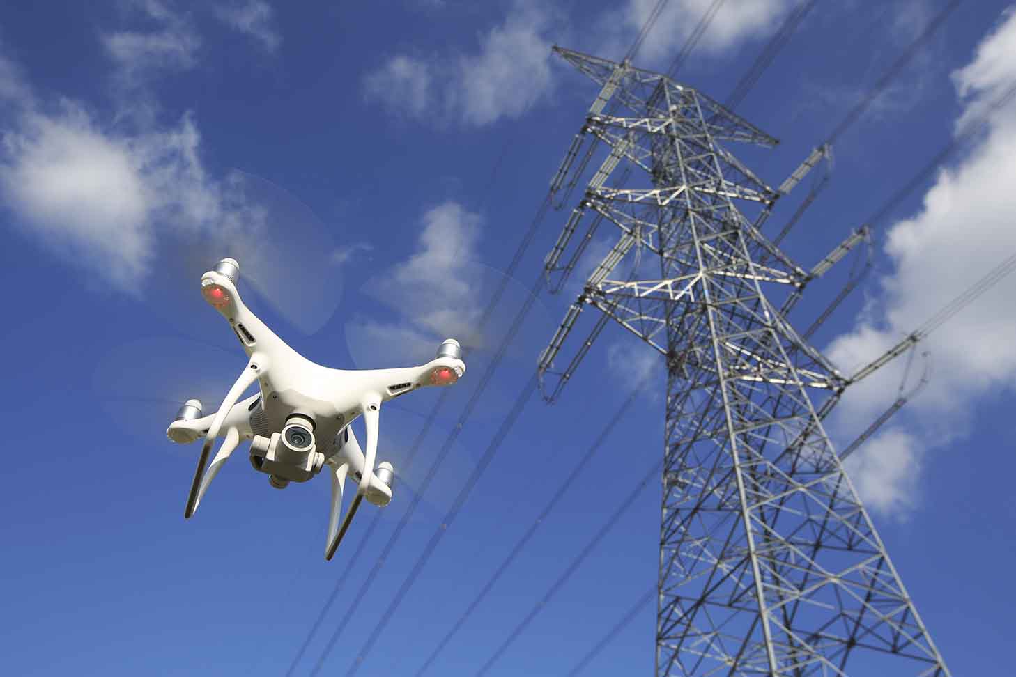
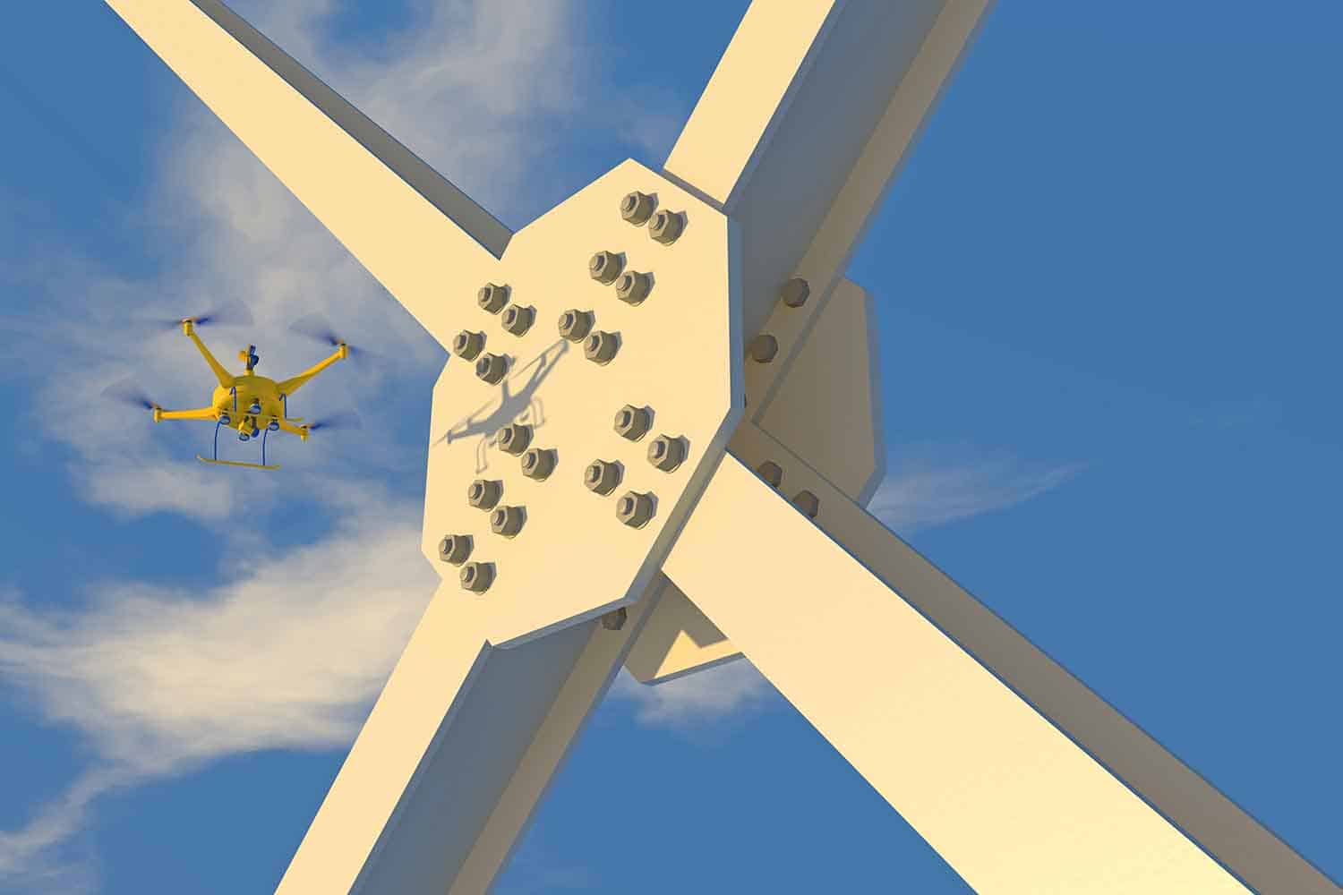
Inspections
Improve the safety of your worksite without sacrificing the attention to detail needed to keep equipment and structures properly maintained.
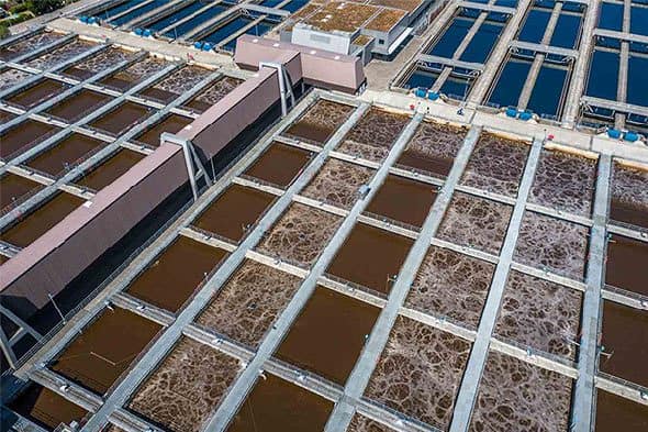
Volumetrics
Use remote sensing techniques to measure, model, and analyze material volume.
Get A Quote
Take Your Project To New Heights
No matter where your project is located, FlyGuys connects you with certified, FAA-compliant drone pilots ready to capture the data you need—quickly, safely, and reliably.
Request a quote today and let our team match you with the right drone solution for your project.
Please note that we are currently unable to assist in the search for missing pets. This limitation is due to the specific challenges and regulations associated with using drones for such purposes.