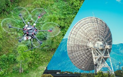
LiDAR vs. Sonar: What's the Difference? Based on our conventional understanding, the difference between these two sensor technologies seems obvious: LiDAR is used for land, and sonar is used for water. But LiDAR can also be used in underwater applications, which begs...
All About LiDAR
Posts and articles about LiDAR.
5 Industry Use Cases for LiDAR
5 Industry Use Cases for LiDAR LiDAR (light detection and ranging) is a rangefinding method which uses a laser that detects objects in real space with high precision and accuracy. The LiDAR instrument consists of a laser, scanner, and GPS attached to a drone, plane,...
How Much Do Drone LiDAR Services Cost?
How Much do Drone LiDAR Services Cost? The first commercial uses of drones were centered on aerial video. Getting a bird’s eye view of a subject opened a new world to film makers, marketers, inspectors, and other professionals. In the time since those early flights,...
What Can LiDAR Data Be Used For?
What Can LiDAR Data Be Used For? The rapid advancement of drone technology along with its accessibility to the private sector means that more people are relying on drone services to get the data they need, specifically LiDAR data collection is growing in popularity...
How UAV LiDAR Can Save You Money
How UAV LiDAR Can Save You Money Light Detection and Ranging (LiDAR) is an extremely accurate and reliable way to capture spatial data by measuring the time it takes for light to return from a surface back to a remote sensor. The data can be used to create three...
LiDAR vs RADAR: What’s the Difference?
LiDAR vs RADAR: What's the Difference? LiDAR and radar sensors are used for similar purposes, but there are some key differences between the two that make one better than the other depending on your situation. Let's look at the basics of each technology and how they...
What Is a Point Cloud and How Is It Used?
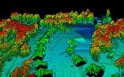
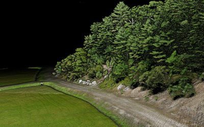
What Is a Point Cloud and How Is It Used? Government agencies, construction companies, and countless other industries rely on photogrammetry and LiDAR to form highly detailed, accurate 3D maps and models. But how does the data obtained through images or laser scanning...
Traditional Land Surveying Vs Drone Surveying: Which Method Is Best for Your Project?
Traditional Land Surveying Vs Drone Surveying: Which Method Is Best for Your Project? From planning infrastructure to building solar farms, land surveying is essential to knowing the features, boundaries, encroachments, and topography of the land; so you can properly...
7 Uses For LiDAR in Agriculture
7 Uses For LiDAR in Agriculture To the untrained eye, a farm is just a sprawling flat space, but farmers know that there are multiple variables in the land, and even nearly undetectable slopes and changes in soil can affect the success of a crop. Having detailed...
LiDAR Technology in the Archaeology Industry
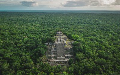
How LiDAR Technology Can Help the Archaeology Industry LiDAR & Archaeology: New Frontiers with Clearer Mapping Using LiDAR for archaeology is creating new opportunities for powerful discoveries of ancient human societies, at previously unattainable details and...

