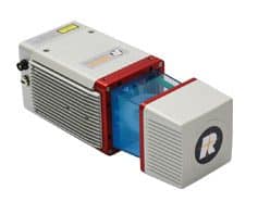
The Evolution of LiDAR
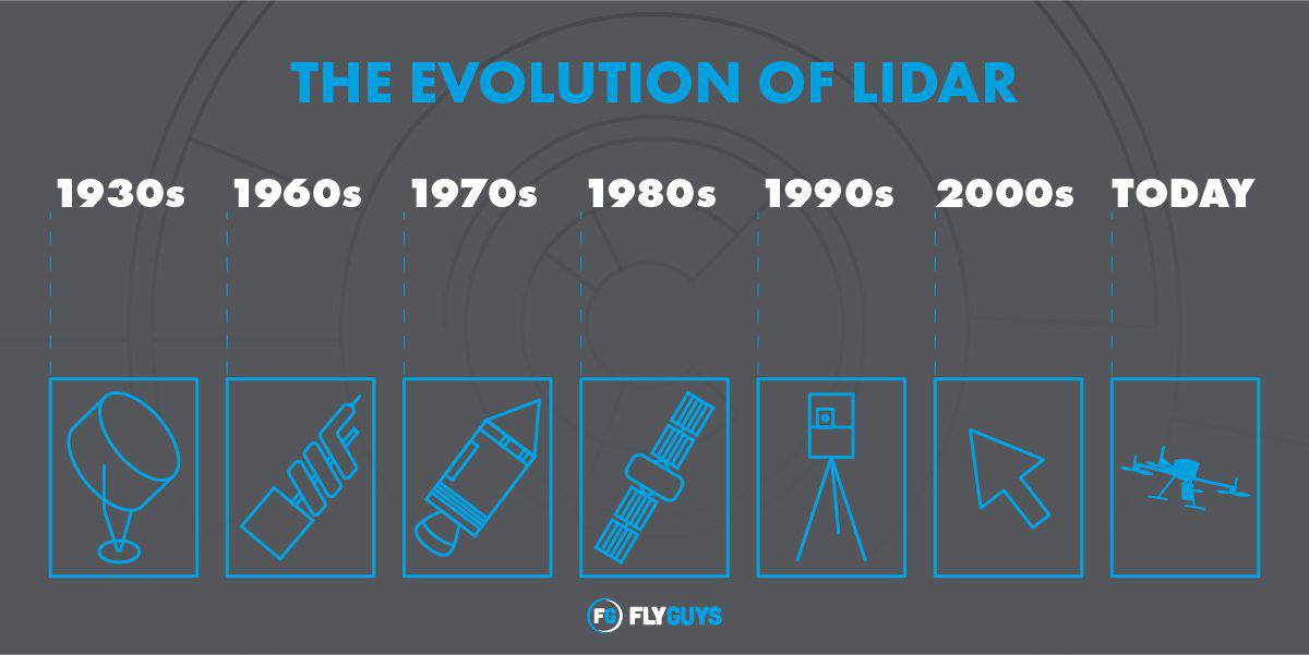
The development of LiDAR has been relatively slow-moving. Here we will look at the history of LiDAR and how it has evolved through the years.
Category
The development of LiDAR has been relatively slow-moving. Here we will look at the history of LiDAR and how it has evolved through the years.
Learn what LiDAR is good for and when to employ it for advanced measurement. View commercial drone LiDAR use cases.
LiDAR vs Sonar: which detection technology is best for your project? This post will explain the differences and advantages of each technique.
A variety of factors affect the cost of LiDAR drone services. Read on to find out what aspects of your project to keep in mind for evaluation.
LiDAR Data provides highly detailed, accurate data, but how can that data be applied? We’re sharing several common uses for it.
We’re exploring how UAV LiDAR can save money over traditional methods, including manual surveying or using helicopters to capture data.
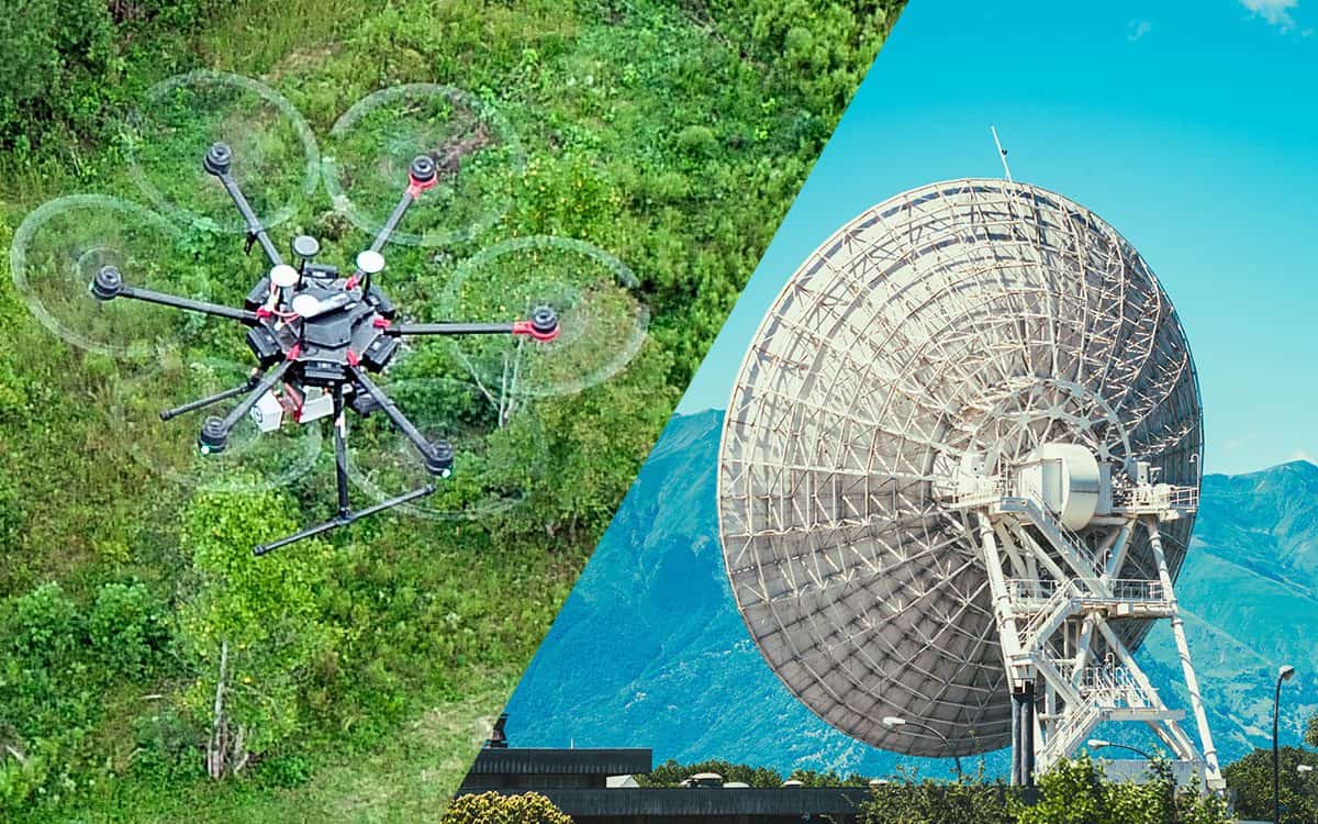
Learn how LiDAR and RADAR differ in their sensing methods and capabilities. We break down why one is better for some applications.
A Point cloud is the foundation for 3D maps and models. Learn more about how they’re created, what they are, and how they are used.
Traditional land surveying or drone surveying: which is right for your project? We’re weighing which one may be right for you.
Learn how the 7 key uses of LiDAR in Agriculture can aid in planning how crops are planted, maximize output, and minimize costs.