
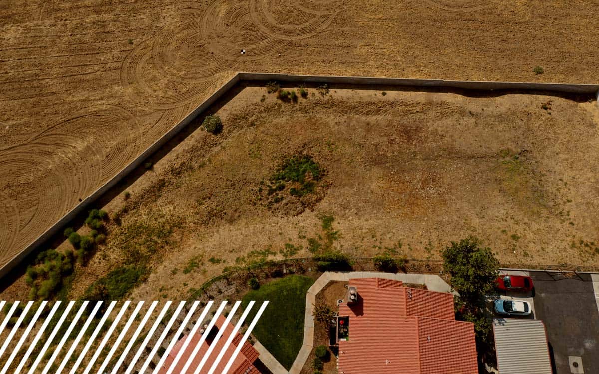
Why Telecommunications Companies Are Turning to LiDAR
Discover how LiDAR and drone services are transforming telecom planning and inspections.
Category
Discover how LiDAR and drone services are transforming telecom planning and inspections.
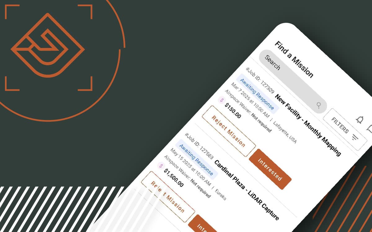
The FlyGuys Pilot App is here, making mission management easier than ever. Download today.
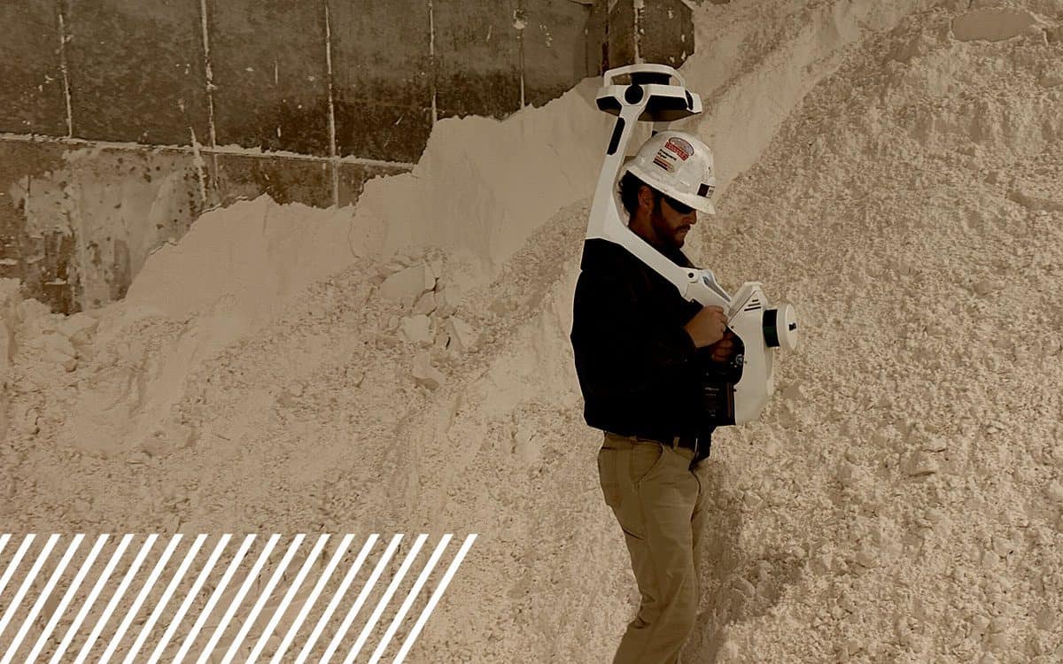
Discover how FlyGuys evolved from drone services to a nationwide leader in reality data capture across industries.

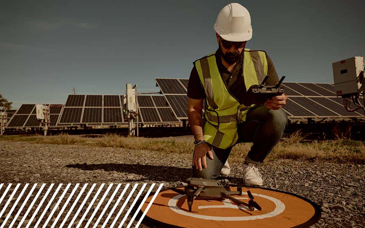
Discover how FlyGuys’ reality data capture and Datumate’s automation are transforming heavy civil construction projects.


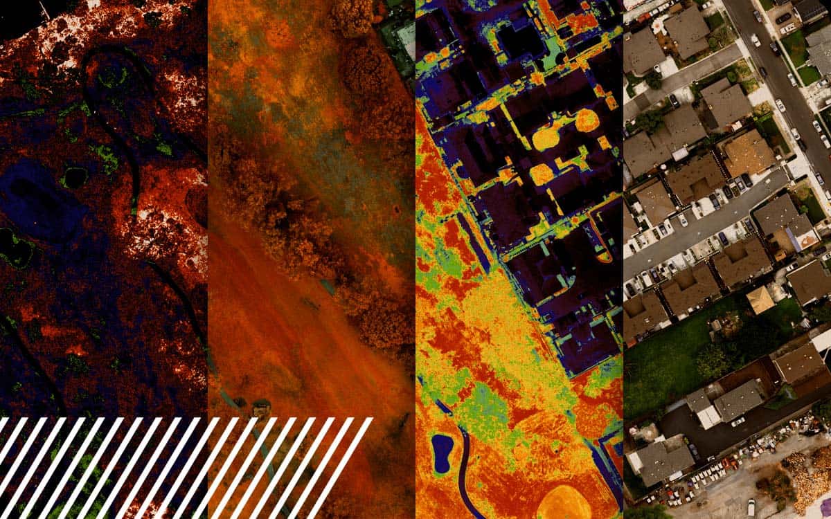
Explore the power of multispectral imaging in agriculture. Enhance crop health, disease prevention, and resource management.