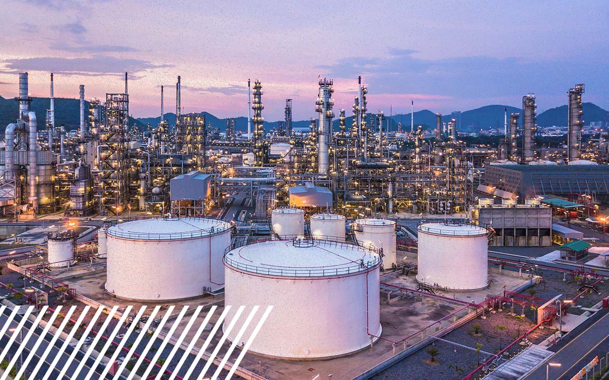
How Are Drones Used in Oil and Gas Inspections?
Drones are used in oil and gas inspections to collect detailed visual, thermal, LiDAR, and specialized sensor data from pipelines, flare stacks, storage tanks, facilities, and other infrastructure.
Category
Drones are used in oil and gas inspections to collect detailed visual, thermal, LiDAR, and specialized sensor data from pipelines, flare stacks, storage tanks, facilities, and other infrastructure.
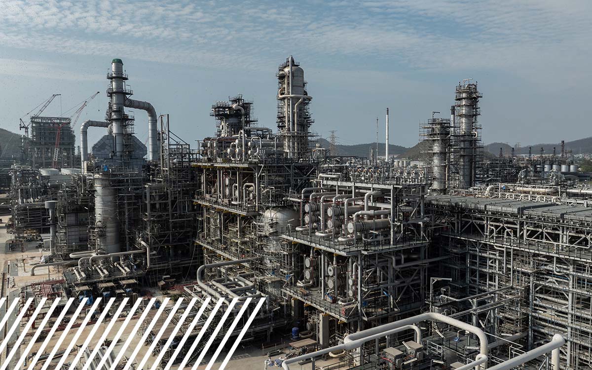
Learn how reality data capture is making it easier to scale and why manual inspections fail.

Drone inspection services for large construction projects: tools, tech, and best practices

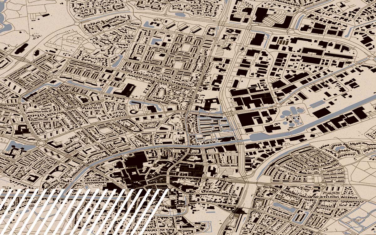
Learn why high-quality data is the backbone of every smart, accurate GIS workflow.
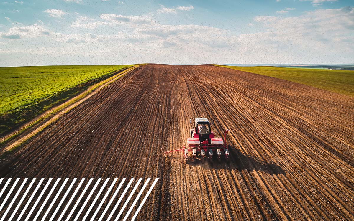
Prep for ag season with drone data and AI insights to boost yields and plan smarter.

See how FlyGuys reality data capture is collaborating with unmanned services of Vertex

Watch as Kevin O’Leary grills FlyGuys CEO Joe Stough on scaling drone-powered data, fueling AI innovation, and why culture drives success.
LiDAR in surveying boosts precision, efficiency, and “first time right” results on every project.
Discover how drone data capture is transforming renewable energy projects from start to finish.
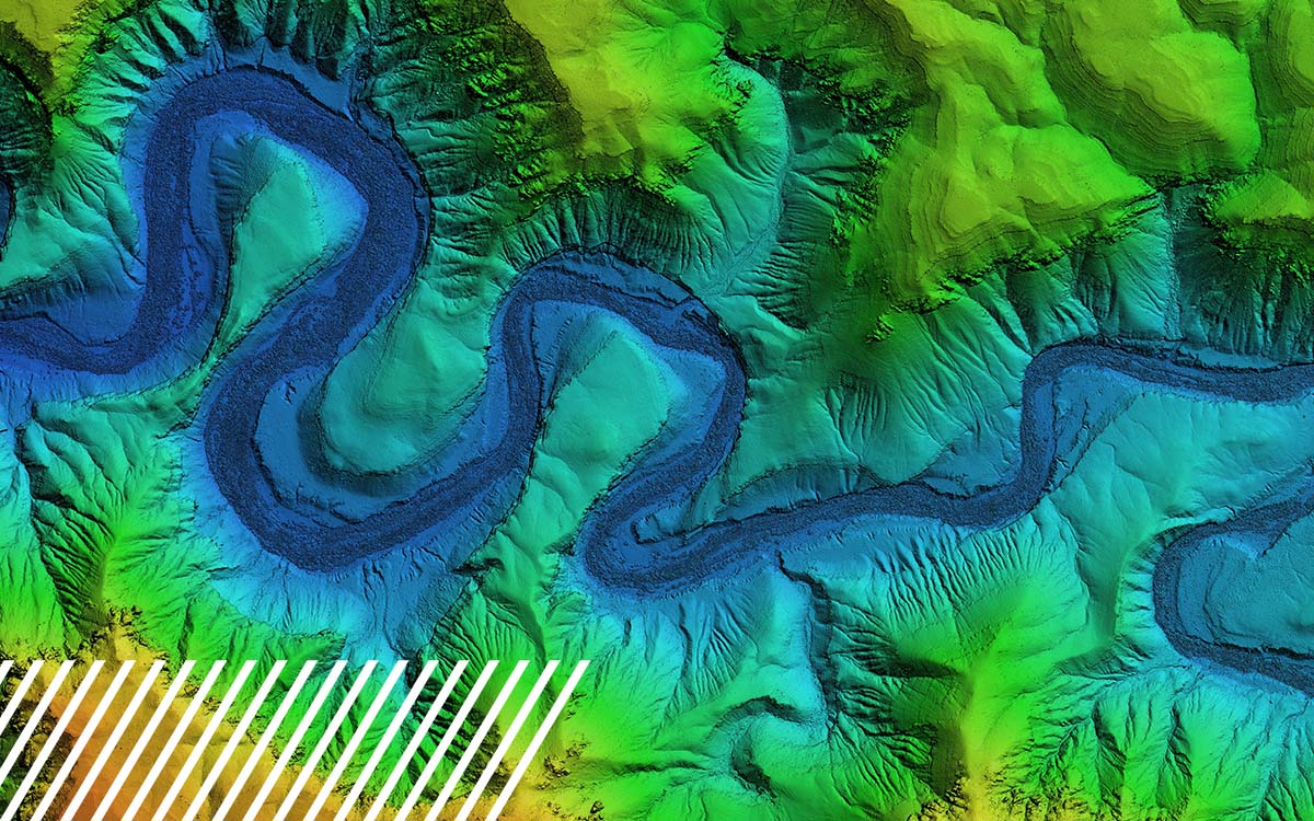
Learn all about LiDAR: The Glossary, Use Cases, and Clarifications You Actually Need
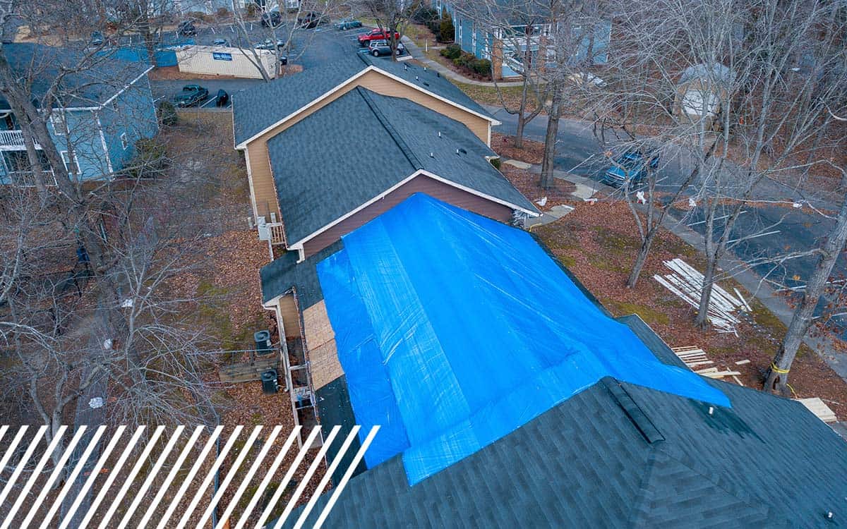
Discover how insurance companies use drones to speed up claims and improve inspections.