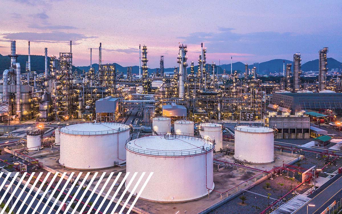
How Are Drones Used in Oil and Gas Inspections?
Drones are used in oil and gas inspections to collect detailed visual, thermal, LiDAR, and specialized sensor data from pipelines, flare stacks, storage tanks, facilities, and other infrastructure. They let teams inspect hard-to-reach assets, document conditions, and flag areas that may need a closer look without having to send someone to access every location physically.
But the drone is only part of the equation.
A pipeline inspection covering miles of right-of-way has very different requirements from inspecting an active flare stack. Looking for methane requires different technology than documenting vegetation encroachment. Mapping an entire facility calls for a different approach than capturing detailed imagery of a single asset.
That is why a successful oil and gas drone inspection should start with a simple question: What do you need the data to tell you?
From there, the aircraft, sensors, flight plan, and deliverables can be built around the answer.
What Oil and Gas Assets Can Drones Inspect?
Drones can support inspections across a wide range of oil and gas infrastructure, from individual assets to large facilities and long pipeline corridors.
Common applications include pipelines and rights-of-way, flare stacks, storage tanks, compressor stations, processing facilities, well sites, and other remote or elevated infrastructure.
The advantage is not simply being able to fly around an asset. It means collecting consistent digital information from places that may otherwise require more time, equipment, or personnel to access.
For an elevated structure, that might mean capturing detailed imagery without immediately putting someone on a lift or rope. Along a pipeline corridor, it could mean documenting changing terrain or vegetation across a much larger area.
The inspection methodology changes with the asset because the question being asked changes with it.
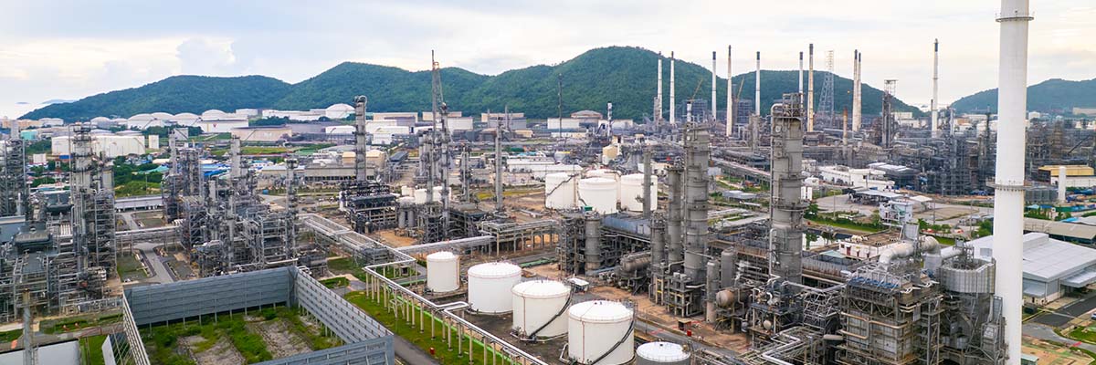
How Are Drones Used for Pipeline Inspections?
Pipeline drone inspections can help operators understand both the condition of the right-of-way and what is happening around it.
High-resolution aerial imagery can document visible conditions such as erosion, exposed pipe, vegetation encroachment, changes near crossings, or third-party activity. LiDAR can provide detailed terrain and vegetation data, and specialized sensors can support applications such as methane detection.
Scalability also matters here.
Inspecting a short section of pipeline is very different from collecting consistent data across hundreds of miles. Flight planning, airspace, terrain, access points, sensor selection, data management, and repeatability all become part of the inspection strategy.
For large programs, the challenge is not simply getting a drone into the air. It is collecting data consistently enough that teams can use it across the entire project.

How Are Drones Used to Inspect Flare Stacks and Elevated Assets?
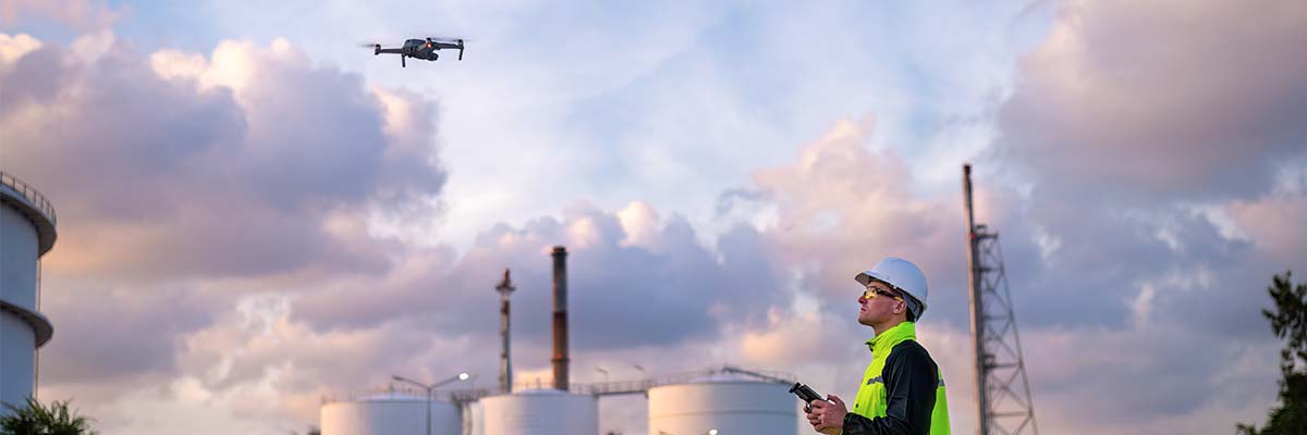
Some oil and gas infrastructure is difficult to inspect for a very straightforward reason: it is hard to reach.
Flare stacks, towers, tank roofs, and other elevated assets may traditionally require lifts, scaffolding, rope access, or other specialized equipment for close inspection.
Drones can provide another way to get eyes on those assets.
Using high-resolution cameras and optical zoom, a drone can capture detailed imagery from a stand-off distance. Thermal sensors can add another layer of information by documenting temperature differences that may warrant further investigation.
Active infrastructure also introduces additional considerations. Heat, turbulence, surrounding equipment, site restrictions, and operating conditions can all influence how a mission is planned.
The goal is not to eliminate every hands-on inspection. Drone data can help teams understand what is happening before deciding where closer physical inspection may be necessary.
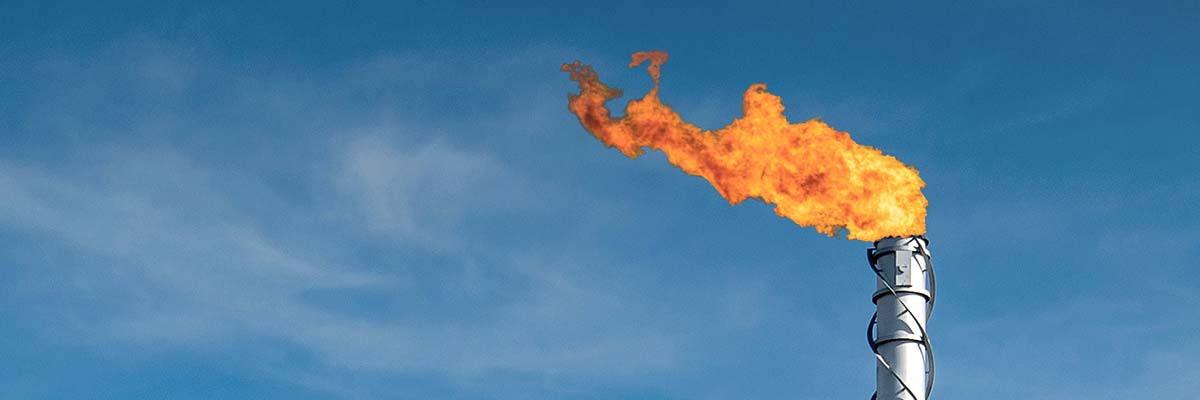
Can Drones Detect Methane and Other Potential Leaks?
Yes, when the drone is equipped with the appropriate sensor.
This distinction is important because not every drone inspection can detect methane.
Specialized methane-detection technologies can be integrated with unmanned aircraft to help identify and locate certain emission sources. That can be especially useful when surveying infrastructure that is difficult to access on foot or distributed across a large area.
Thermal imaging may also identify temperature anomalies, but it is not interchangeable with methane detection.
A standard RGB camera answers one set of questions. A thermal camera answers another. A methane-specific sensor is designed for something different.
Choosing the correct sensor begins with knowing what you are actually trying to find.

What Sensors Are Used for Oil and Gas Drone Inspections?
The drone gets the sensor where it needs to go. The sensor determines what information can be collected.
Several technologies can be used depending on the inspection.
High-resolution RGB imagery provides detailed visual documentation of assets and surrounding conditions. It can help teams identify visible damage, corrosion indicators, coating issues, vegetation concerns, or other changes that deserve attention.
Thermal imaging records surface temperature differences. Depending on the asset and inspection objective, those differences can help teams locate anomalies that may not be obvious in standard imagery.
LiDAR creates three-dimensional measurements of terrain, vegetation, and infrastructure and can be particularly valuable for corridors, large facilities, and projects where accurate spatial information matters.
Methane and gas-detection sensors are specialized payloads designed to detect specific emissions.
No single “best” sensor fits every oil and gas inspection. The right technology depends on the asset, conditions, and information the customer needs.

Are Drones Replacing Traditional Oil and Gas Inspection Methods?
No. In many cases, drones work alongside existing inspection methods.
Some conditions still require hands-on inspection, nondestructive testing, or other specialized methods. A drone cannot see through a structure just because it can fly closer.
Drones add value by helping inspection teams gather information remotely and identify where additional attention may be needed.
Instead of sending someone to physically access every portion of an elevated asset just to establish its general condition, for example, teams may be able to use aerial imagery to document the asset first. Teams can then evaluate areas of concern using the appropriate follow-up method.
That makes drone inspection another tool in the integrity team’s toolbox, not a replacement for the expertise already there.
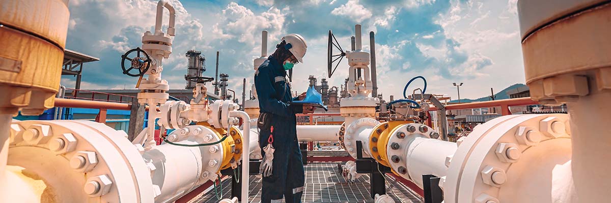
What Data Comes From an Oil and Gas Drone Inspection?
A successful drone inspection should deliver more than a folder full of aerial photos.
Depending on the project, deliverables may include high-resolution imagery, thermal data, orthomosaics, LiDAR point clouds, 3D models, geotagged observations, terrain information, or results from specialized sensors.
What matters is whether those deliverables answer the original inspection question.
If an asset manager needs to understand vegetation conditions along a right-of-way, the project should be designed around that outcome. If the goal is to document a flare stack’s exterior condition, the collection methodology should prioritize the level of detail needed to evaluate it.
This is where reality data becomes useful, not just impressive.
The goal is not to collect as much data as possible. It is to collect the right data.
How Often Should Oil and Gas Assets Be Inspected With Drones?
No universal schedule exists for drone inspections.
Frequency depends on the type of asset, applicable requirements, environmental conditions, operational risk, previous findings, and the purpose of the inspection.
Repeat data capture, however, can create an additional advantage.
When teams collect comparable data over time, they are no longer looking at each inspection as an isolated snapshot. They can compare current conditions with previous datasets and identify how an asset or its surrounding environment has changed.
That could mean tracking vegetation along a right-of-way, documenting erosion near infrastructure, or comparing an asset’s visible condition from one inspection to the next.
Consistency becomes just as important as frequency.
How Do You Choose the Right Drone Inspection Method?
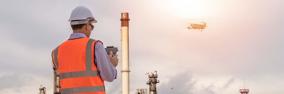
Start with the question, not the drone.
Before deciding on an aircraft or sensor, define what the inspection needs to accomplish.
What asset needs to be inspected? What conditions are you trying to identify? How large is the area? What level of detail is required? How will the resulting data actually be used?
Those answers determine the collection methodology.
A flare stack may require high-resolution zoom and thermal imagery. A long pipeline corridor could call for LiDAR or another specialized sensor. A large facility may benefit from multiple capture methods to create a more complete view of the site.
Sometimes a drone is the right solution. Sometimes another collection method makes more sense. For complex projects, the answer may be a combination.
The technology should fit the job, not the other way around.
How Can FlyGuys Support Oil and Gas Inspections?
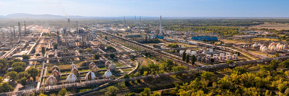
Oil and gas infrastructure rarely exists in one convenient place. Assets may stretch across counties or state lines, with each location presenting different terrain, access, airspace, and data requirements.
FlyGuys helps organizations manage that complexity by coordinating reality data capture through a nationwide network of qualified professionals and matching the collection approach to the project’s needs.
Through FlyGuys Capture, customers can request and manage projects in one place while FlyGuys handles the operational details behind the capture.
Whether you need data from a single facility or are coordinating inspections across a distributed asset portfolio, the goal remains the same: get the right data into the hands of the people who need it.
Ready to plan your next oil and gas inspection? Schedule your project through FlyGuys Capture.
Frequently Asked Questions
Can drones inspect oil and gas pipelines?
Yes. Drones can collect visual, thermal, LiDAR, and specialized sensor data along pipeline corridors to help document right-of-way conditions, vegetation, terrain, exposed infrastructure, and other areas of concern.
Can drones detect methane leaks?
Drones equipped with appropriate methane-detection sensors can identify and locate certain methane emissions. Standard cameras and thermal cameras should not be assumed to provide the same capability.
Can drones inspect flare stacks?
Drones can collect detailed visual and thermal information from flare stacks and other elevated infrastructure. The exact approach depends on operating conditions, site restrictions, and the data required.
What sensors are used for oil and gas drone inspections?
Common technologies include high-resolution RGB cameras, optical zoom, thermal sensors, LiDAR, and specialized gas-detection sensors. The appropriate payload depends on the asset and inspection objective.
Are drone inspections safer than manual inspections?
Drones can reduce the need for personnel to access certain elevated, remote, or hazardous areas physically. They don’t eliminate the need for qualified inspectors or other inspection methods, but they can help teams decide when hands-on inspection is necessary.