
How Are Drones Used in Oil and Gas Inspections?
Drones are used in oil and gas inspections to collect detailed visual, thermal, LiDAR, and specialized sensor data from pipelines, flare stacks, storage tanks, facilities, and other infrastructure.
Tag
Drones are used in oil and gas inspections to collect detailed visual, thermal, LiDAR, and specialized sensor data from pipelines, flare stacks, storage tanks, facilities, and other infrastructure.
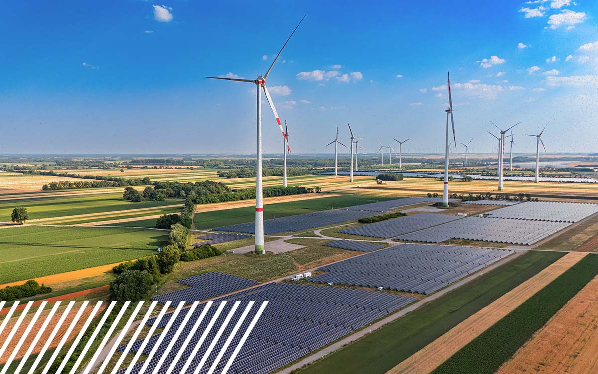
Large energy sites are difficult to map because scale magnifies nearly every part of the collection process. Access, ground control, terrain, vegetation, airspace and data volume all become more complicated as the footprint grows. Mapping these sites successfully requires choosing the right capture method for the intended outcome rather than simply applying a small-site workflow across more acres.

FlyGuys goes from a drone services company to a tech platform. Read about how FlyGuys is the nation's leading reality data capture tech company, powered by its proprietary FlyGuys Capture software platform, delivering aerial and ground-based reality data solutions nationwide for energy, utilities, telecommunications, construction, infrastructure, insurance, and agriculture.
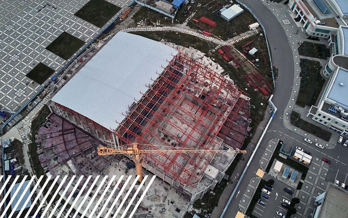
Property inspection is one of the most repeated steps in real estate development — and one of the easiest to underestimate. From manual scheduling and limited roof access to inconsistent documentation and slow report turnaround, traditional inspection methods quietly add risk and delay to every phase of a project. This guide breaks down the 8 most common bottlenecks developers face and the faster, safer assessment methods replacing them.

Utility companies are increasingly adopting high-density LiDAR to gain a more accurate, efficient view of their infrastructure. From detecting vegetation encroachment and monitoring transmission assets to improving safety and regulatory compliance, drone-based LiDAR provides the detailed reality data needed to make smarter maintenance and asset management decisions.
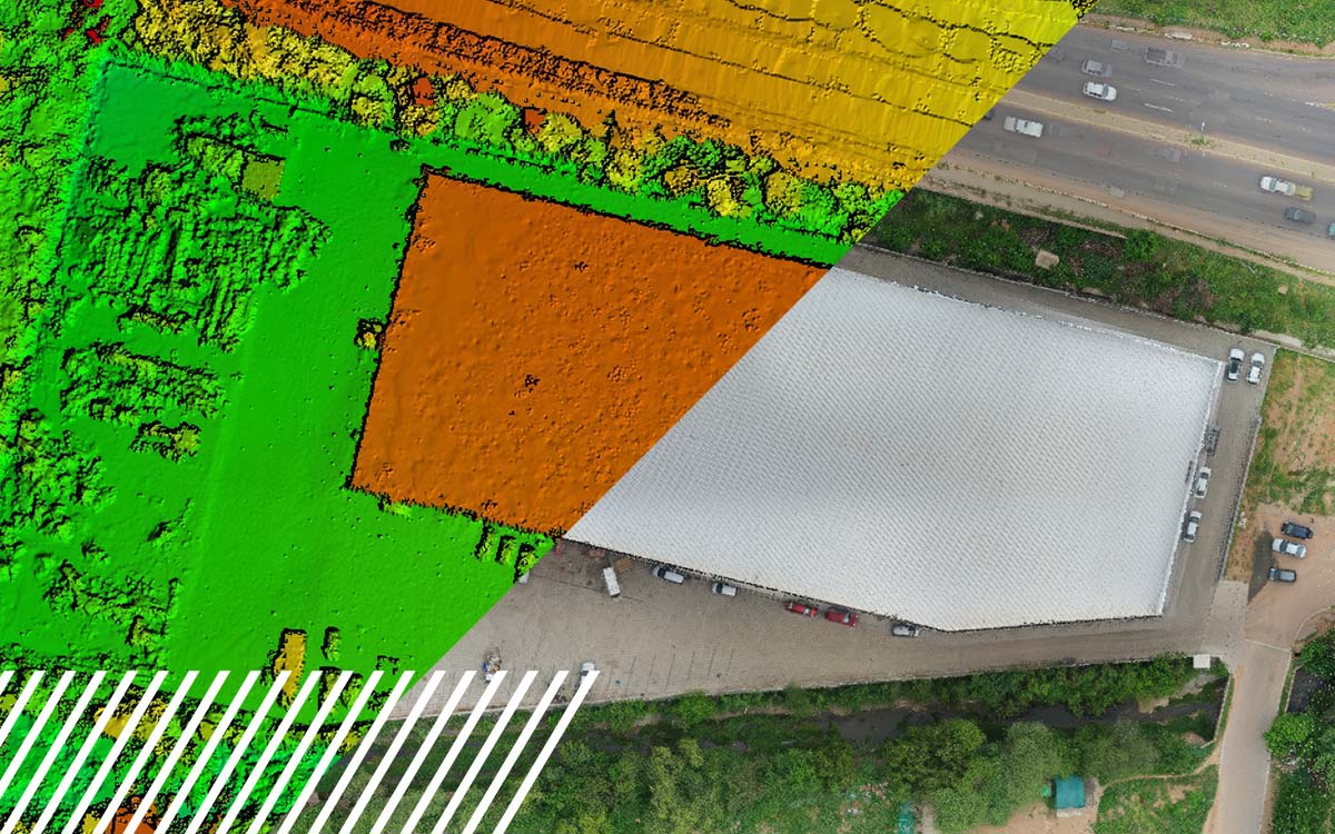
Reduce engineering rework costs with high-accuracy mapping, LiDAR, and reality capture.

What is a digital twin, and how is it transforming industries through reality data capture?
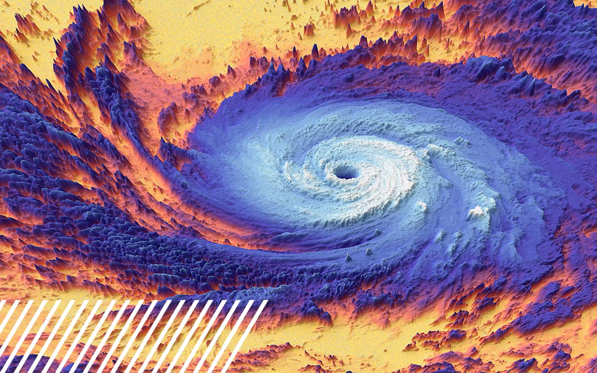
Learn how pre-storm aerial surveys speed disaster recovery and damage assessment.
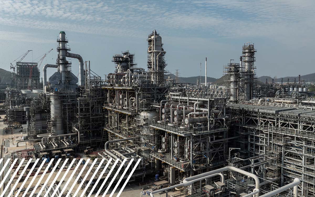
Learn how reality data capture is making it easier to scale and why manual inspections fail.

AI-powered aerial data helps businesses scale faster and make smarter decisions.

How to identify the right level of compliance for NDAA, Green, or Blue approved drones.

Drone inspection services for large construction projects: tools, tech, and best practices