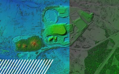
The Power of GIS in the Reality Data Capture Industry Geographic Information Systems (GIS) are revolutionizing the way industries collect, analyze, and utilize spatial data. As a critical component of reality data capture, GIS combines location-based data with...
Planimetrics: Mapping the Details That Matter
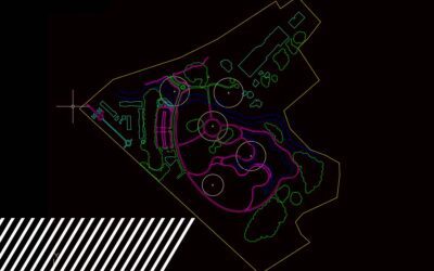
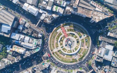
Planimetrics: Mapping the Details That Matter Modern mapping requires accuracy, detail, and speed, making planimetric mapping one of the most powerful tools available. At FlyGuys, we leverage cutting-edge technology to provide planimetric mapping services that...
Achieving Global Accuracy with Ground Control: The Backbone of Precise Data Capture
Achieving Global Accuracy with Ground Control: The Backbone of Precise Data Capture Imagine a construction project covering hundreds of acres. Every inch counts as the team maps out infrastructure, plans roads, and coordinates utilities. This type of work...
How Reality Data Capture Helps Prepare for Disasters
How Reality Data Capture Helps Prepare for Disasters As natural disasters become more frequent and severe, proactive disaster preparedness has become increasingly vital. Drones and LiDAR technology have revolutionized how we approach disaster management by...
Unlocking the Potential of Multispectral Imaging and Reality Data Capture
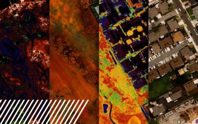
Unlocking the Potential of Multispectral Imaging and Reality Data Capture What is Multispectral Imaging? Multispectral imaging is a powerful technology that simultaneously captures image data at specific wavelengths across the electromagnetic spectrum. Unlike...
Understanding Misconceptions About LiDAR Technology
Understanding Misconceptions About LiDAR Technology LiDAR (Light Detection and Ranging) technology has revolutionized geospatial data collection. However, several misconceptions surround its capabilities and applications. Read on to clarify these misconceptions and...
The Changing Face of Urban Planning: LiDAR and Future Cityscapes
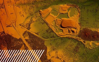
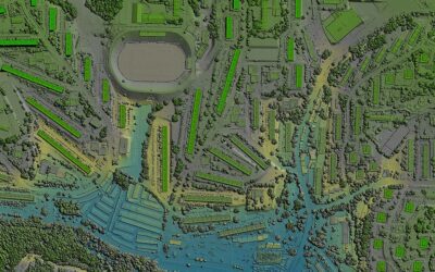
The Changing Face of Urban Planning: LiDAR and Future Cityscapes Urban planning and sustainable city development are paramount in our rapidly expanding world. As cities expand and evolve, innovative technologies such as LiDAR (Light Detection and...
Unmasking the Heat: The Art of Thermal Inspections in a Solar Farm
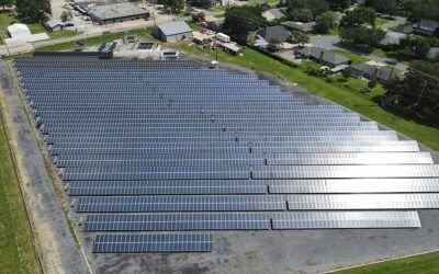
Unmasking the Heat: The Art of Thermal Inspections in a Solar Farm On a hot and sunny May day in south Louisiana, the FlyGuys team took a field trip to see one of the largest outdoor solar testing facilities in the southeastern United States, the University of...
LiDAR Transforms Urban Development Mapping: Insights from a Client Perspective
LiDAR Transforms Urban Development Mapping: Insights from a Client Perspective LiDAR technology has emerged as a game-changer in urban development and 3D mapping, revolutionizing how construction and engineering firms approach their projects. Among those...
Inspect the Uninspected
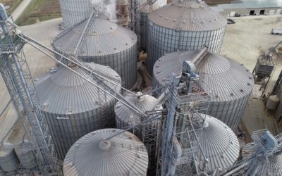
Inspect the Uninspected Why drone inspections should be a part of your routine Many industries require regular maintenance inspections to identify problem areas and potential repairs. Some inspections are required by law in specific industries because the asset or...

