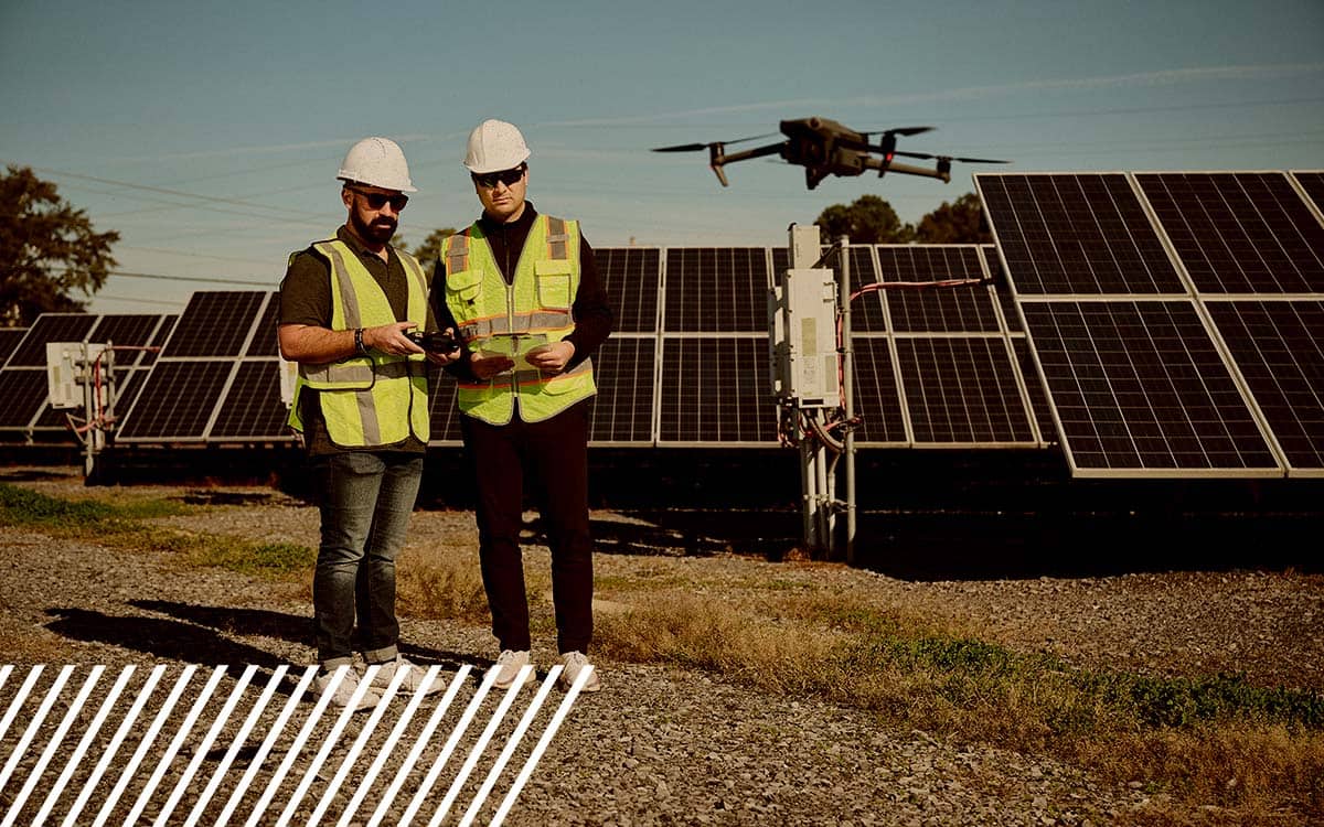
From Sky to Data: How FlyGuys Became a Reality Data Powerhouse
Find out how FlyGuys integrates with your AI to fuel your business.
Category
Find out how FlyGuys integrates with your AI to fuel your business.

Find out how FlyGuys integrates with your AI to fuel your business.


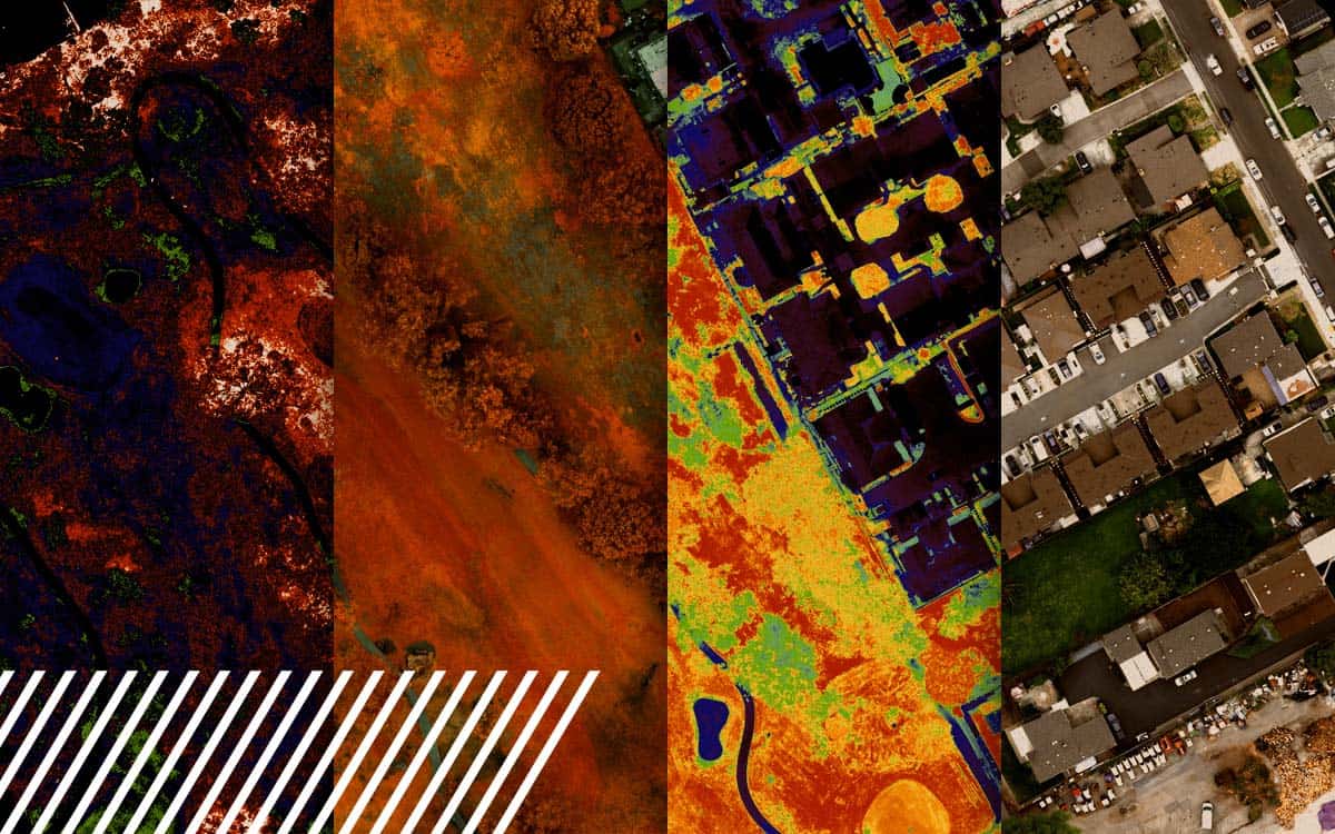
Explore the power of multispectral imaging in agriculture. Enhance crop health, disease prevention, and resource management.
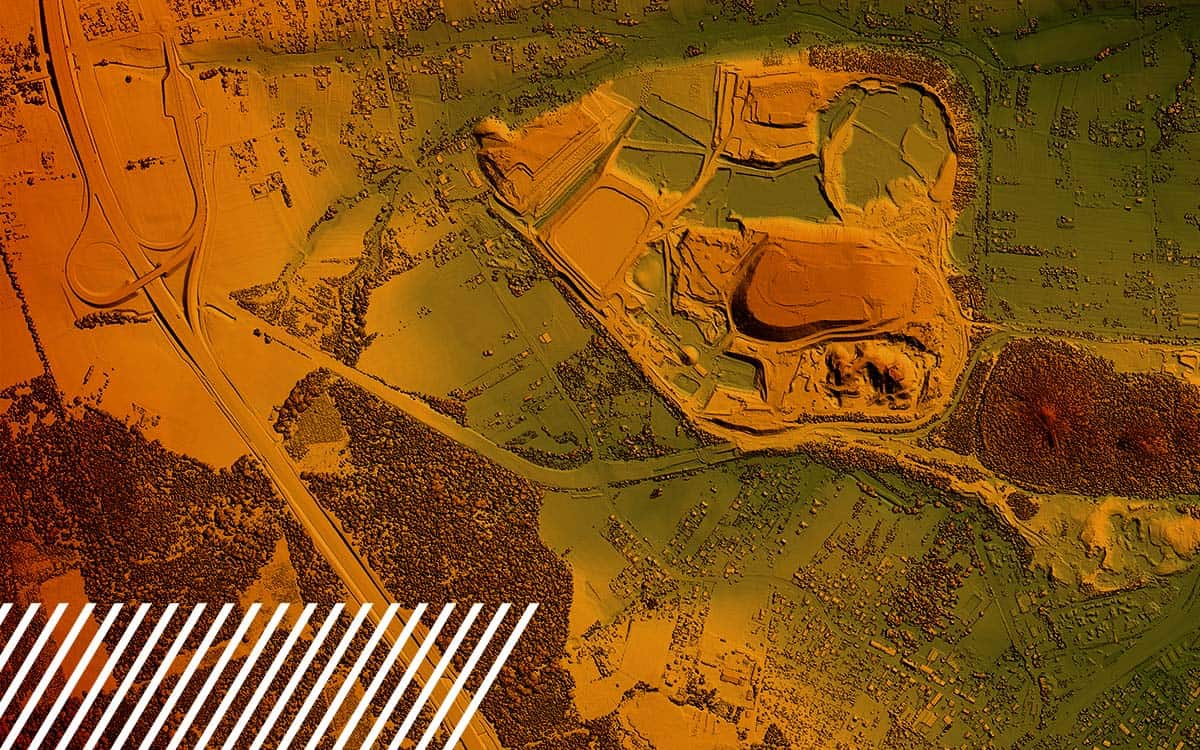
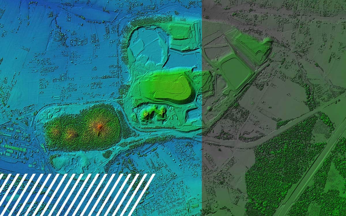
Discover the capabilities and limitations of LiDAR technology while dispelling common misconceptions about its various applications.
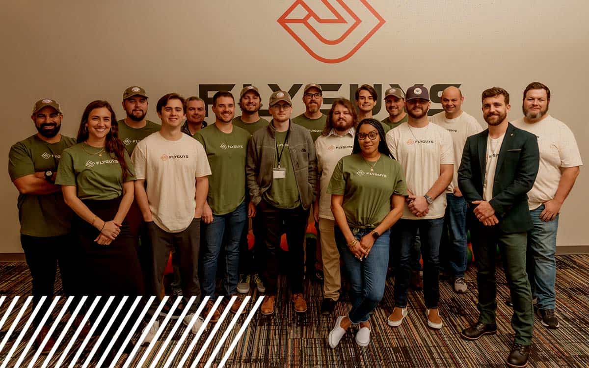
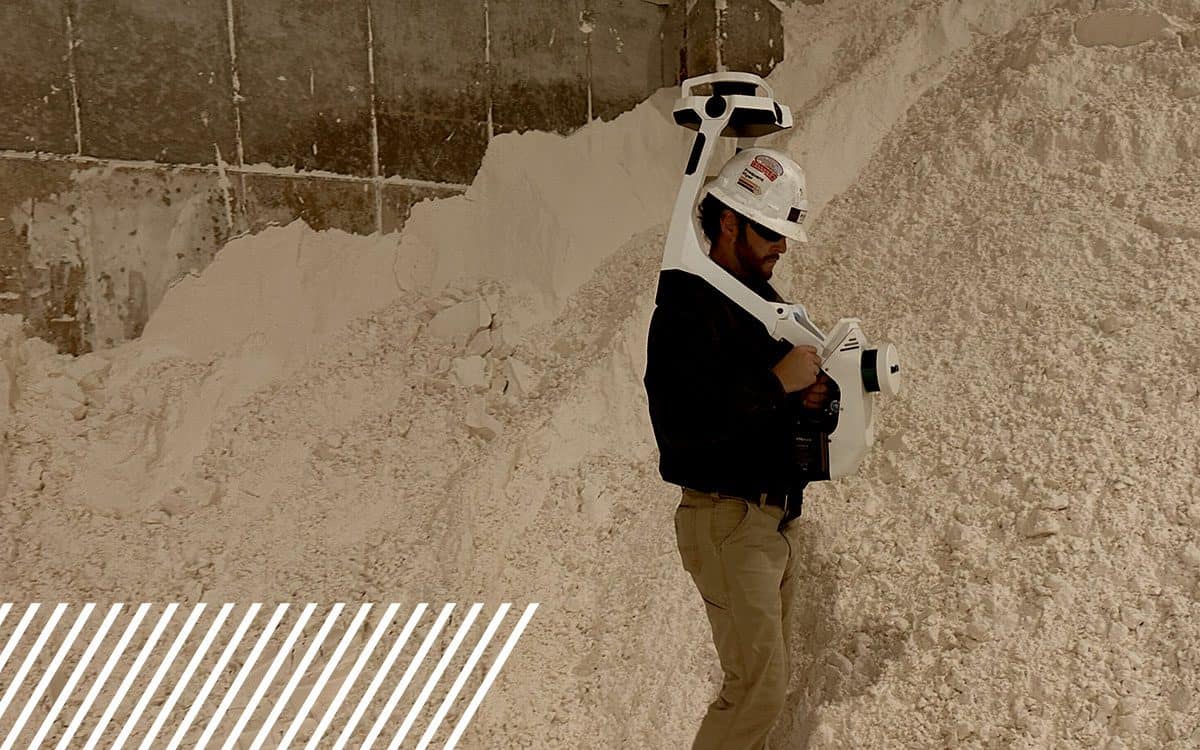
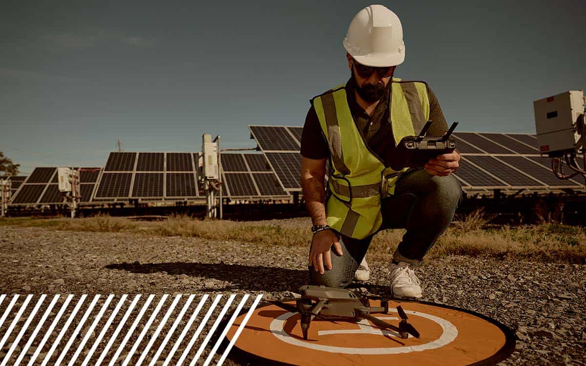
Meet FlyGuys' diverse team of reality data capture experts, from insurance to LiDAR specialists, united by a commitment serving industries nationwide.