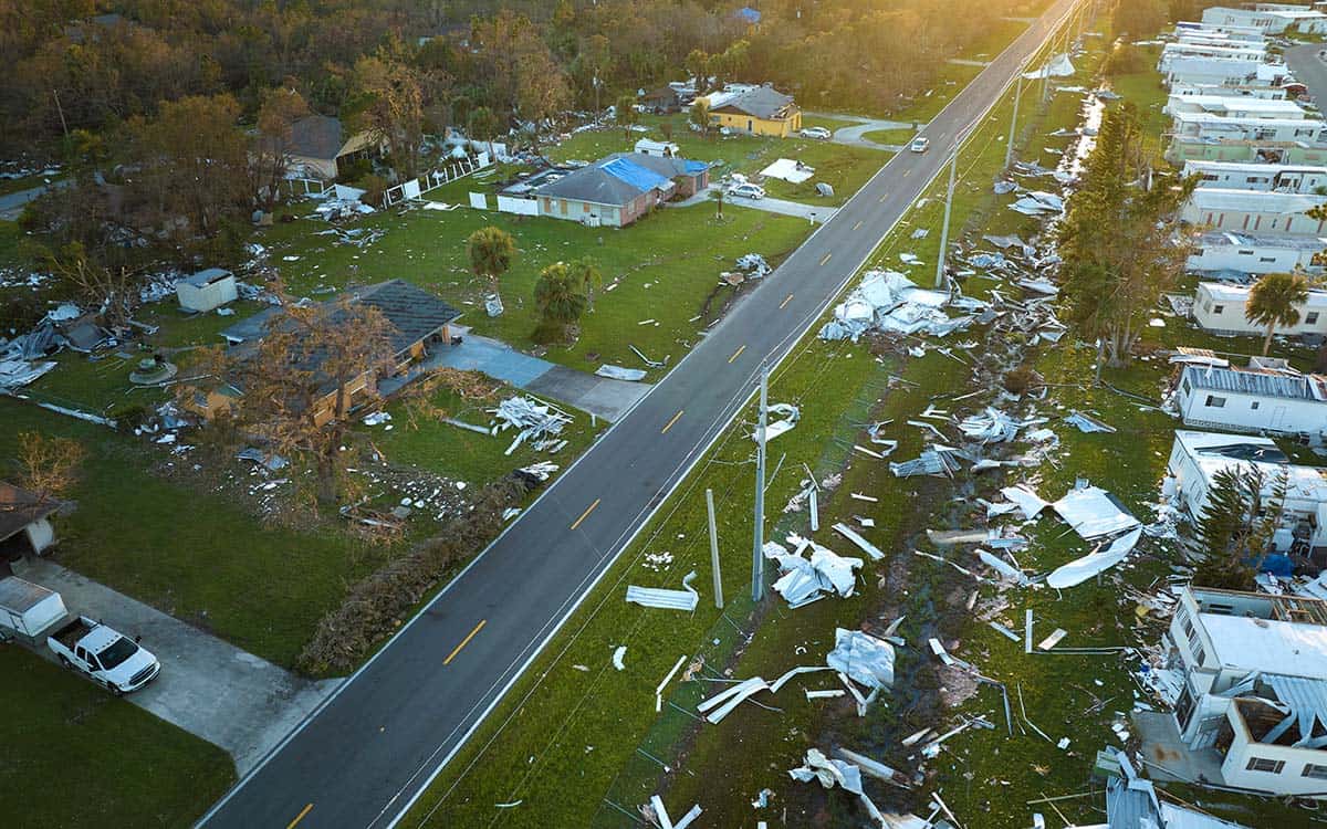
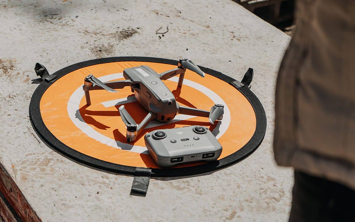
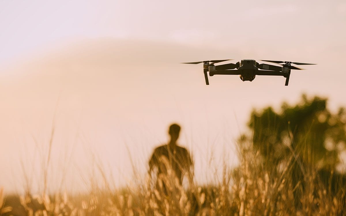
Reimagining Risk: How Drones Are Reinventing the Insurance Landscape
Discover the impact of drones in the insurance industry and their role in risk assessment, claims processing, and operational efficiency. %
Discover the impact of drones in the insurance industry and their role in risk assessment, claims processing, and operational efficiency. %
A guide to the many industries that can benefit from drone services and how you can partner with FlyGuys Nationwide Drone Services.

A complete look at how drones are improving the construction industry. Produced in collaboration with TrueLook.
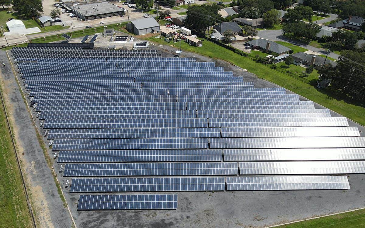
See behind the scenes of a thermal inspection at University of Louisiana's solar farm with the FlyGuys team.
FlyGuys drone services partners with TrueLook providing the construction industry hassle-free jobsite visibility from a new angle.
How LiDAR is transforming urban development and 3D mapping, pushing boundaries and setting new industry standards.

How LiDAR can benefit your surveying needs and other LiDAR questions and concerns answered by FlyGuys' sales consultant.

How does your LiDAR data get processed? Find out everything you need to know about LiDAR processing and analysis with FlyGuys' mission coordiantor.
Ever wondered what it's really like to fly LiDAR? Read our interview with FlyGuys' LiDAR pilot to learn about a typical day flying LiDAR.
Here is your beginner pilot guide with links to rules and regulations for FAA compliance, registering your drones, and licensing info.
Which drone is suitable for you? Read about the FlyGuys Ops team drone recommendations of 2023 for beginners or a pro pilots.