Drone Use in Construction Progress Monitoring
Four Reasons you Should be Using Drones to Monitor Progress on Your Construction Site
Construction is one of the many industries where drone services are highly advantageous. Construction site drone photography reduces risk factors, increases profitability, saves time and collects a large amount of data that traditionally is time-consuming to collect and often incomplete. Progress monitoring is a standard function of the construction process. Construction managers are responsible for keeping employees on task, adhering to a schedule, and reporting progress to stakeholders. Sending project engineers on site walks to verify productivity is par for the course to keep investors, owners, and project managers informed. A project engineer or project controls specialist is expected to collect and analyze data in the face of limitations including time constraints, safety and weather issues, hard-to-access project areas, and the risk of overlooking potential progress or problems. Additional obstacles such as labor cost, scheduling conflicts, and the need to generate timely, relevant reports are commonplace with conventional progress monitoring. How can companies remedy these issues and make sure their project’s progress monitoring is accurate and detailed? Drones drastically augment the value, quality and safety of construction site inspections. In this article we will dive into the benefits of how drones improve progress monitoring and show you how the old-school alternative might be costing you time and money.Drone Images Captured Throughout a Construction Project
(Note: these images are scaled down for web use. Full-resolution samples are available upon request.)
Drones Save Time
The most evident advantage of using a drone is the time it saves on inspection and communication. Rather than walking the grounds of the construction site, a drone will fly the programmed path above the sprawling infrastructure, avoiding interruptions that happen on the ground level and completing the job quicker and more efficiently. Data is sent immediately to the proper channels; project managers, engineers, stakeholders, etc., have instant access to real-time data instead of waiting hours or even days for consolidation of data and the creation of multiple reports. A drone can alert project managers of potential problems that can be addressed immediately to avoid setbacks and prevent delays on projects.Drone Services Reduce Costs
Investing in drone services cuts costs in multiple ways. Save on labor costs by scheduling a drone to fly consistent patterns rather than sending a project engineer or project controls specialist to the site daily or weekly. A drone has a full aerial view of the site which can be monitored remotely by project managers to track the construction project’s progress. Reports can be sent to stakeholders to show that the work is being produced consistent to the proposed schedule and estimate.Let Your Projects Fly
Drone services are driving cost and time savings across new industries every day. Find out how much your organization can save in this free download.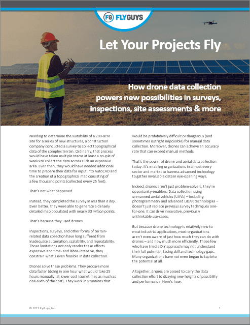
Thorough and Complete Data and Documentation Forever
The human eye is only capable of seeing what it can see. A drone has a bird’s eye view and the ability to zoom in on parts of the infrastructure that are either impossible or too dangerous for a human to reach. Traditional inspection leaves open the possibility to overlook potential problems and can often yield unreliable results in the interpretation of data. A drone captures consistent images leaving no room for alternative interpretation. Additionally, the data captured by drones can be stored for as long as the client wishes. This way the business will always have documentation for the project through each phase for future use. Drones collect multiple types of data that can be used in numerous ways for different end users.- Photos are taken in high-resolution, usually with a 20-megapixel camera to show progress comparisons. Waypoints are programmed to capture the exact replica of the area to show the progression from breaking ground to completed project.
- Videos capture wide angles and vantage points to show the comprehensive progression from an aerial point of view. Video allows for access to hard-to-reach places giving an overview of the entire infrastructure.
- Maps are customizable for end user demand. The drone can produce Orthomosaic, LiDAR or thermal maps that will send details to the construction manager that is impossible for the human eye to see.
- Orthomosaic maps show the entire site from a bird’s eye view and can estimate material cost, calculate stockpile volume and other specific data without having to be at the site.
- Thermal maps alert project managers if there is a leak or a crack in the foundation by detecting escaping heat allowing the project manager to address the issue.
- LiDAR is used to design a digital representation of the area which construction managers and surveyors can turn into several different deliverables for clients.