FlyGuys & Datumate: Transforming Construction with Drone Data and AI-Powered Insights
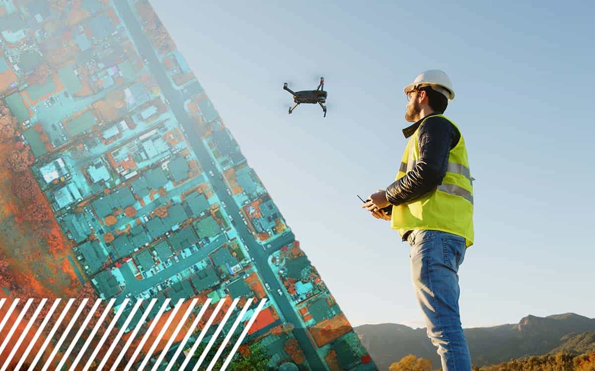
Find out how FlyGuys integrates with your AI to fuel your business.
Category
Find out how FlyGuys integrates with your AI to fuel your business.
Find out how FlyGuys integrates with your AI to fuel your business.
Find out how FlyGuys integrates with your AI to fuel your business.
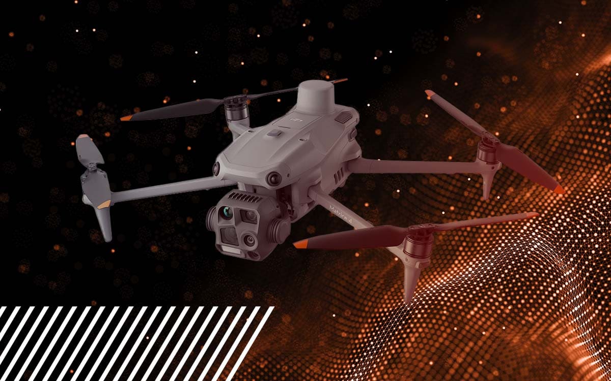
Whether you are a novice pilot or looking to get into the industry, you might find details about the drone we use quite helpful.
Whether you are a novice pilot or looking to get into the industry, you might find details about the drone we use quite helpful.
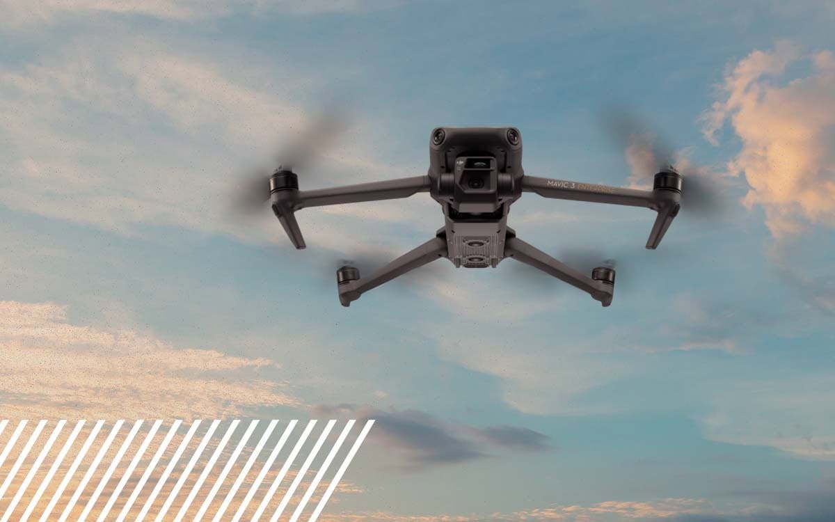
Whether you are a novice pilot or looking to get into the industry, you might find details about the drone we use quite helpful.
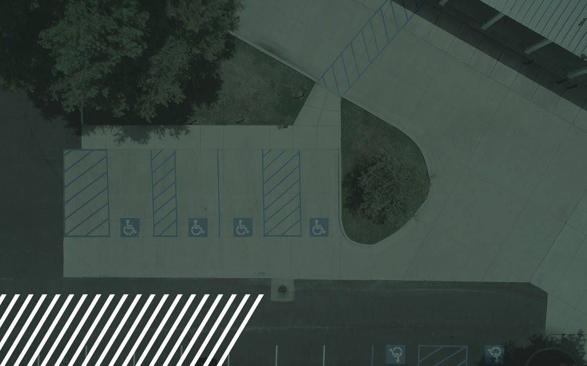
Transform pavement assessments with reality data capture technology. Learn how drones and LiDAR streamline road inspections, boosting safety and accuracy.

Discover the comprehensive guide to Digital Surface Models, Digital Terrain Models, and Digital Elevation Models.
Discover expanding opportunities in the drone industry with insights on technological advancements, specialized training, and niche markets.
Explore the critical aspects of drone safety and regulations in work zones. Learn how to navigate the skies responsibly.
Discover the future of urban planning with LiDAR. Explore how it creates stunning 3D city models and empowers data-driven decisions.