What Can LiDAR Data Be Used For?

What Can LiDAR Data Be Used For?

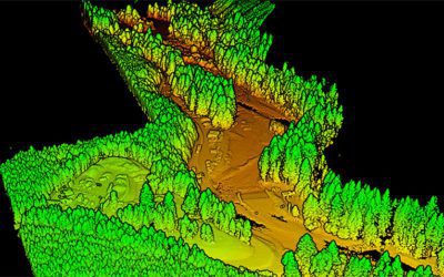
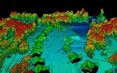
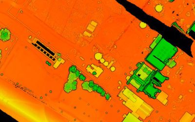
What Can LiDAR Data Be Used For? The rapid advancement of drone technology along with its accessibility to the private sector means that more people are relying on drone services to get the data they need, specifically LiDAR data collection is growing in popularity...

read more
Drone Use Cases for the Energy Sector

Drone Use Cases for the Energy Sector

Drone Use Cases for the Energy Sector The energy industry is in a constant state of change. With the advent of new technologies and regulations, operators face an ever-increasing burden to meet compliance standards while keeping costs down. At the same time, no one...

read more
How UAV LiDAR Can Save You Money

How UAV LiDAR Can Save You Money

How UAV LiDAR Can Save You Money Light Detection and Ranging (LiDAR) is an extremely accurate and reliable way to capture spatial data by measuring the time it takes for light to return from a surface back to a remote sensor. The data can be used to create three...

read more

Advantage Capital Invests $2 Million in FlyGuys

Advantage Capital Invests $2 Million in FlyGuys Series A funding, in connection with Louisiana’s New Markets Tax Credit Jobs Act, supports FlyGuys’ growth in nascent drone industry NEW ORLEANS--(BUSINESS WIRE)--Advantage Capital, a venture capital firm and small...

read more
Past Present & Future of Drones

Past Present & Future of Drones

Past Present & Future of Drones By: Adam Zayor, Fly Guys CEO Like most technological advances, drones got their start in the military. At first, they were primarily used as explosive balloons, then later, as dedicated reconnaissance vehicles during the Vietnam...

read more
LiDAR vs RADAR: What’s the Difference?

LiDAR vs RADAR: What’s the Difference?

LiDAR vs RADAR: What's the Difference? LiDAR and radar sensors are used for similar purposes, but there are some key differences between the two that make one better than the other depending on your situation. Let's look at the basics of each technology and how they...

read more
What Is a Point Cloud and How Is It Used?

What Is a Point Cloud and How Is It Used?

What Is a Point Cloud and How Is It Used? Government agencies, construction companies, and countless other industries rely on photogrammetry and LiDAR to form highly detailed, accurate 3D maps and models. But how does the data obtained through images or laser scanning...

read more