High-Resolution Photography and Data Collection
Almost any industry can benefit from aerial imaging. Photography and videography captured from a birds-eye vantage point gets the attention and visibility you want for everything imaginable – from marketing to site inspections to thermal energy detection. Aerial images can be further processed to offer additional insight, a game-changer in industries like agriculture. Why settle for uninspiring and ineffectual ground-level photography and video when aerial drone imaging is within your reach?

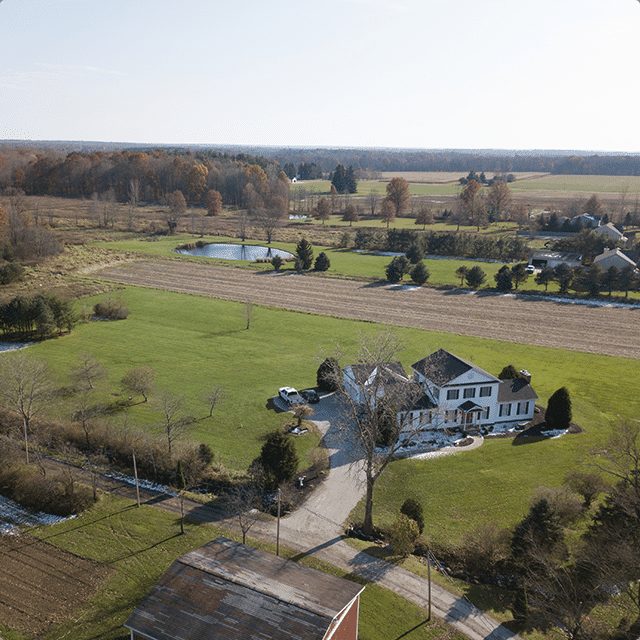
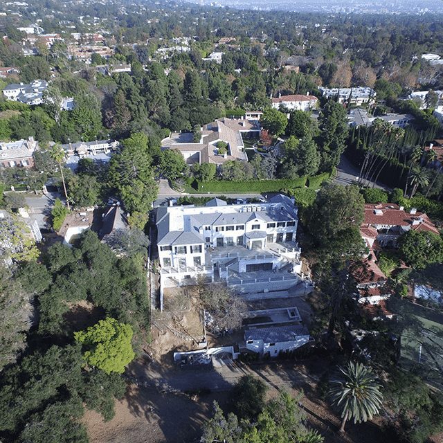

HD still and video imagery
Aerial imaging generates interest and excitement in your audience and prompts action: more vacation bookings or high-end homes sold. A better fan experience. Quicker and more efficient inspections. The panoramic aerial vantage point is sure to amaze and inspire action.
Stunning HD aerial still and video imagery can be used for TV or movies, sporting or concert events, or corporate/brand marketing.

Thermal / Infrared (Multispectral) Imaging
Anything with a temperature above absolute zero emits infrared radiation. A thermal imaging camera capitalizes on this to illuminate otherwise imperceptible temperature variations, providing visual insight to an environment even without light.
A powerful tool with many applications, aerial thermal imaging provides safety personnel with the critical insight needed to fight active wildfires. In construction environments, it’s used to detect water leaks or energy loss.
In precision agriculture, thermal or near-infrared aerial imagery is used to boost crop production through assessment of soil, location of weed outbreaks, and evaluation of crop consistency.

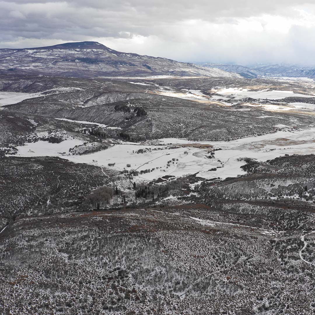
Topographical Imagery
LiDAR-capable drones serve as another powerful tool to map land formations or bodies of water, giving scientists and surveyors a significant edge through precision topographical imagery.
Among its many applications, topographic imagery provides data for geographic information systems used for emergency response. In civil engineering, contractors also use drone technology to support land development projects at a fraction of the cost of manned aircraft.

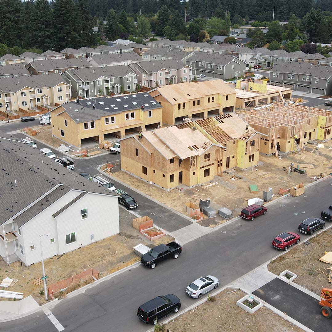
3D / Volumetric Models
Multiple images can even be combined to create a detailed photographic map, geometrically corrected to remove any distortion – far superior to a conventional 2D map. Combining a series of aerial images with modeling software to create 3D or volumetric models enables professionals to quickly and affordably evaluate topography, monitor progress of projects, or keep an eye on soil erosion.
Reach for the Sky
From mines and quarries to precarious structures and remote locations, many environments present logistical difficulties and safety hazards that present obstacles to traditional solutions. Fortunately, drones can fly where larger aircraft can’t, as well as to sites where it’s unsafe to send people. Drone-based aerial imaging also provides more comprehensive insights into your assets and projects. With drone technology, even the sky is not the limit; the only limit is your imagination.
Located across the United States, FlyGuys drone pilots are professionally certified, fully insured, and FAA-compliant.