
Elevating Progress: FlyGuys Enlists Fred Humbert to Lead Sales and Data Acquisition Revolution
Elevating Progress: FlyGuys Enlists Fred Humbert to Lead Sales and Data Acquisition Revolution. Introducing our new SR. VP of Sales
Elevating Progress: FlyGuys Enlists Fred Humbert to Lead Sales and Data Acquisition Revolution. Introducing our new SR. VP of Sales
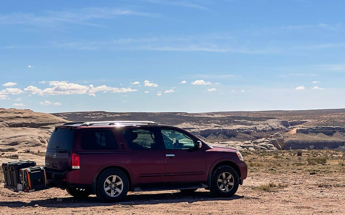
Drone pilot Kevin Preberg sets out to accept drone missions across the country in his mobile office. #VanLife.
Mastering the Future: UAS Programs. Get ahead in the drone industry with a comprehensive UAS program. FlyGuys mission coordinator's story.

Find out how graduating from a drone program will set you a part in your search for a career in the UAS field.
Explore the choice between in-house and outsourced drone programs. Discover pros, cons, and their impact on modern industries.
Remote ID is coming. This is what you need to know to be Remote ID ready. Don't wait until you can't fly your drone.

Discover the future of urban planning with LiDAR. Explore how it creates stunning 3D city models and empowers data-driven decisions.
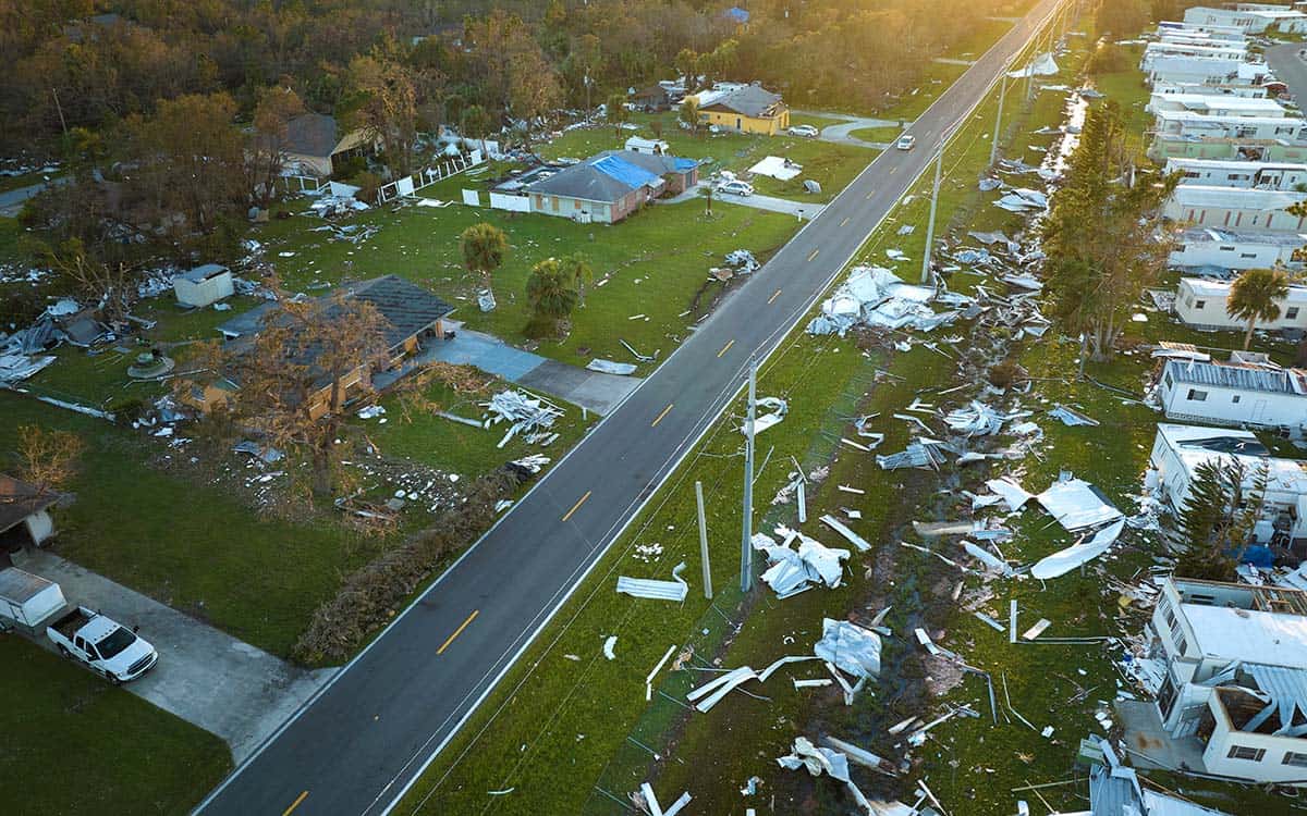
Discover the impact of drones in the insurance industry and their role in risk assessment, claims processing, and operational efficiency. %

A guide to the many industries that can benefit from drone services and how you can partner with FlyGuys Nationwide Drone Services.

A complete look at how drones are improving the construction industry. Produced in collaboration with TrueLook.
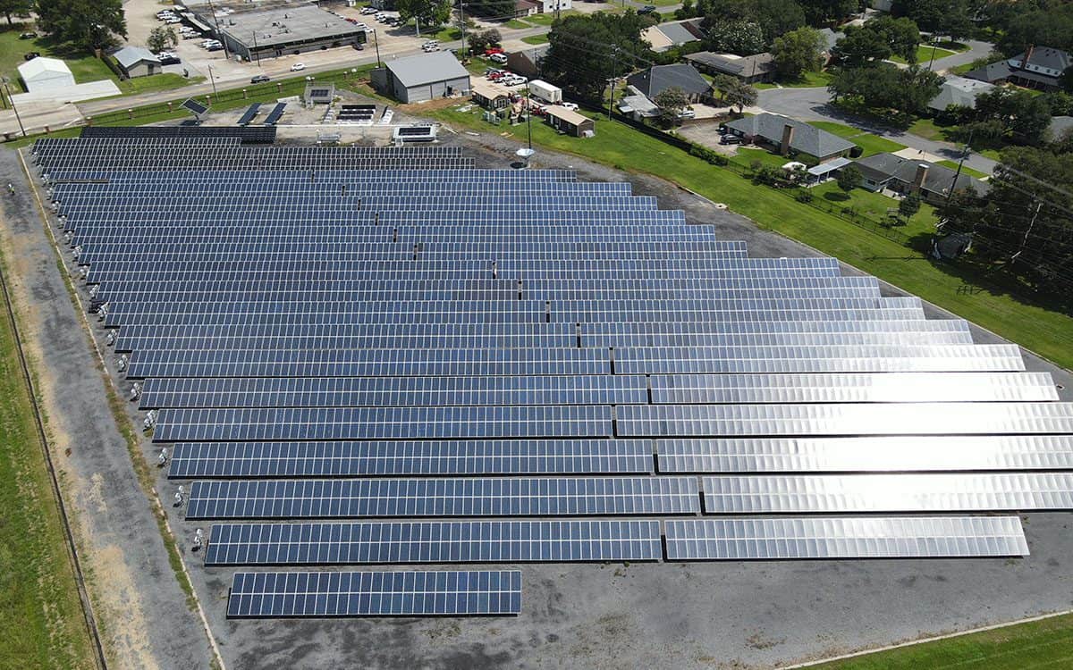
See behind the scenes of a thermal inspection at University of Louisiana's solar farm with the FlyGuys team.
FlyGuys drone services partners with TrueLook providing the construction industry hassle-free jobsite visibility from a new angle.