
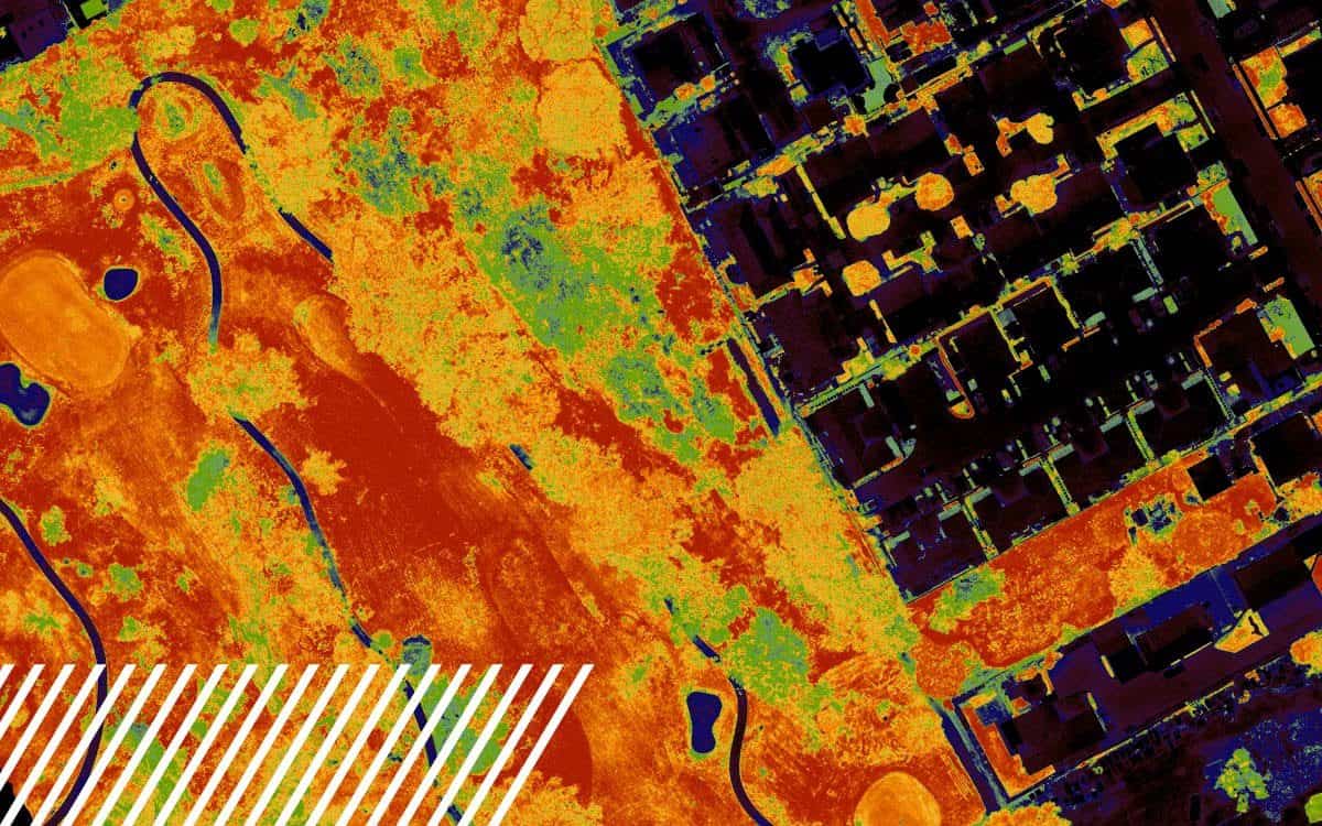
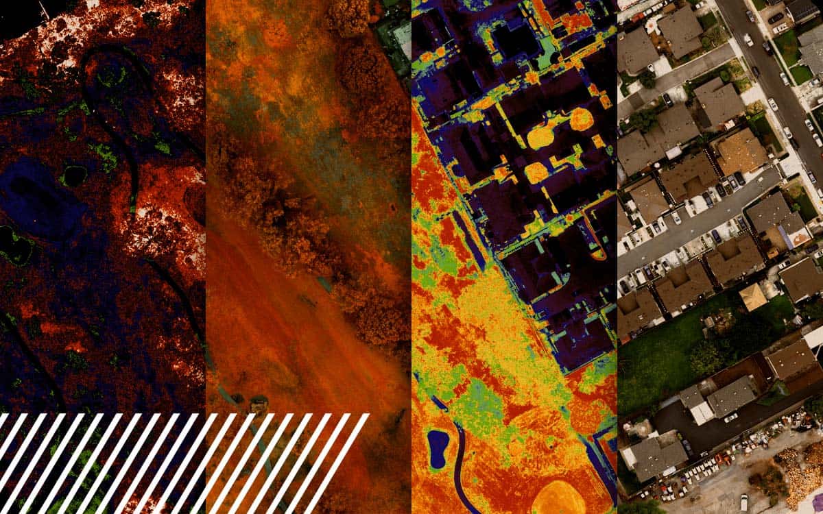
Understanding NDVI: Normalized Difference Vegetation Index
The Normalized Difference Vegetation Index (NDVI) is a metric derived from multispectral imaging, useful in assessing vegetation health.
Unlocking the Potential of Multispectral Imaging and Reality Data Capture
Explore the power of multispectral imaging in agriculture. Enhance crop health, disease prevention, and resource management.
Understanding Misconceptions About LiDAR Technology
Discover the capabilities and limitations of LiDAR technology while dispelling common misconceptions about its various applications.
The Transformative Impact of Reality Data Capture in the Insurance Industry
How reality data capture is transforming the insurance industry through efficiency, accuracy, and saving time and cost.
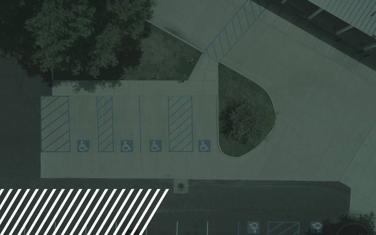
Enhancing Pavement Assessments with Reality Data Capture Technology
Transform pavement assessments with reality data capture technology. Learn how drones and LiDAR streamline road inspections, boosting safety and accuracy.
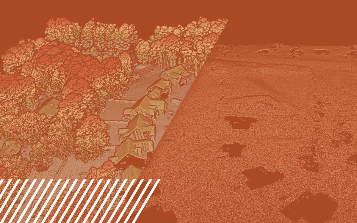
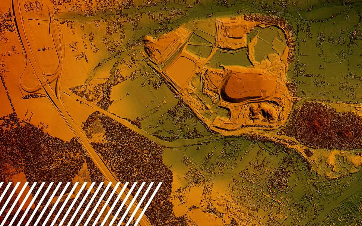
Understanding Digital Surface Models, Digital Terrain Models, and Digital Elevation Models
Discover the comprehensive guide to Digital Surface Models, Digital Terrain Models, and Digital Elevation Models.
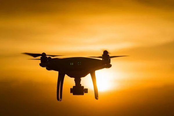
Unleashing Potential: The Expanding Horizons of Drone Pilot Opportunities
Discover expanding opportunities in the drone industry with insights on technological advancements, specialized training, and niche markets.
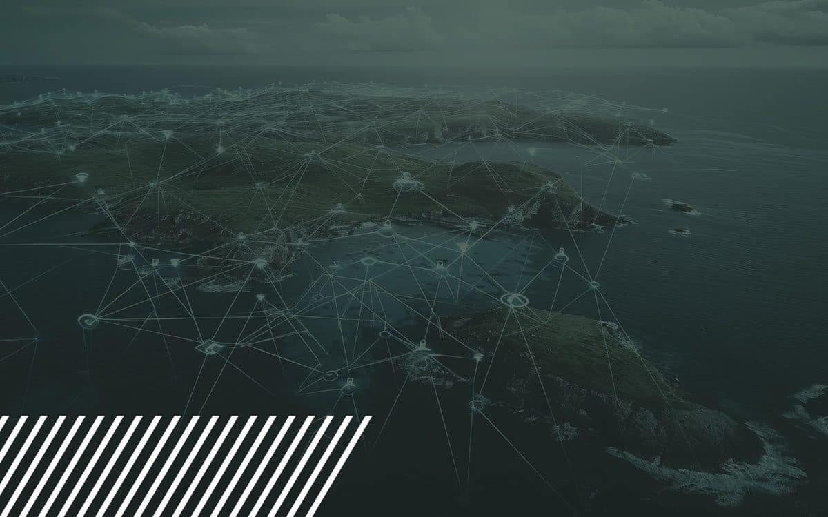
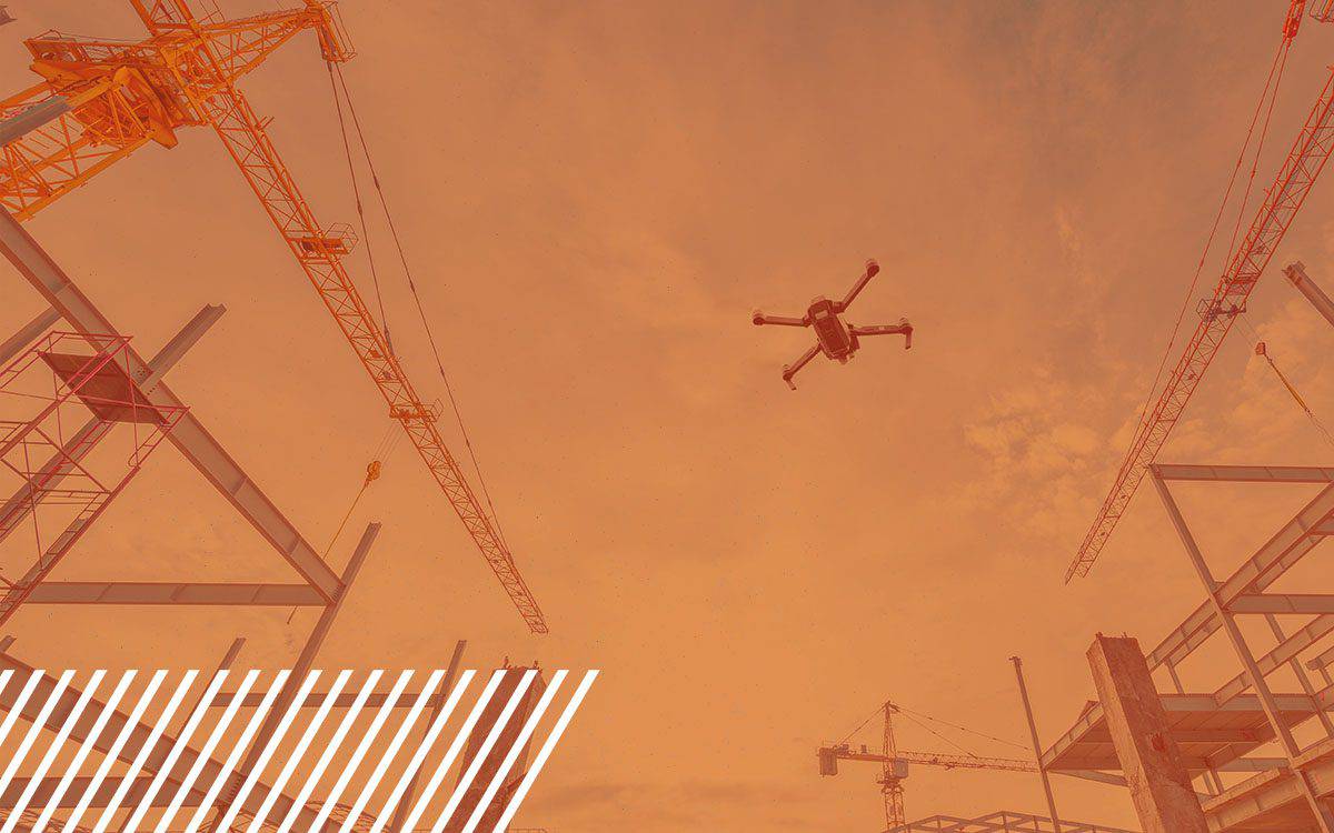
The Evolution of Reality Data Capture
Explore the transformative journey of reality data capture technology, from its manual origins to the sophisticated AI systems used today.
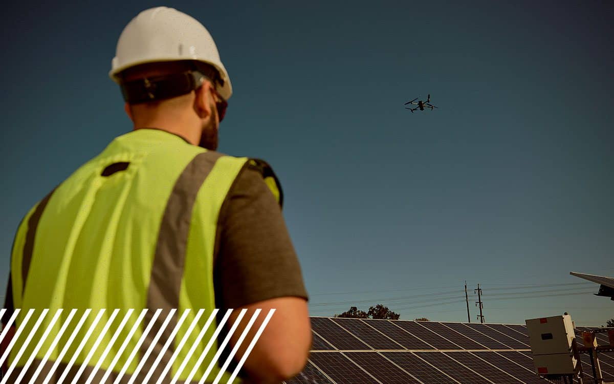
Navigating the Skies: The Essential Guide to Drone Safety in Work Zones
Explore the critical aspects of drone safety and regulations in work zones. Learn how to navigate the skies responsibly.
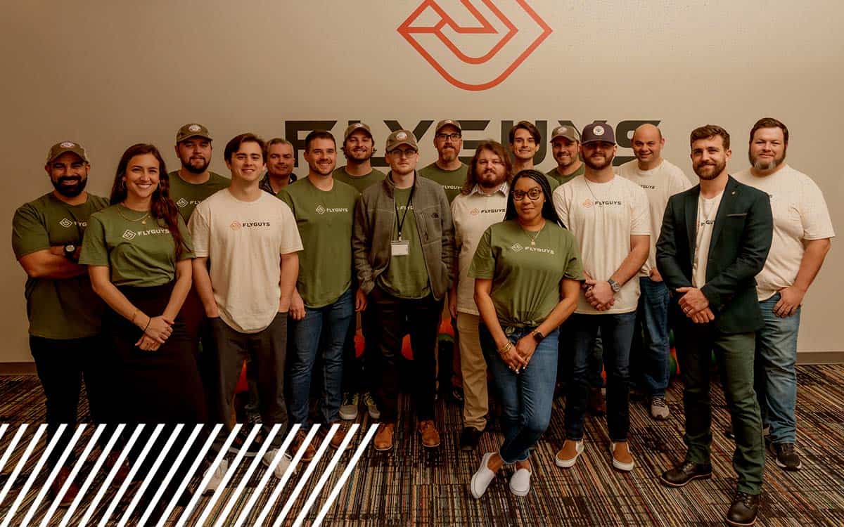
Flying High with Trust: Inside FlyGuys’ Expert Team
Meet FlyGuys' diverse team of reality data capture experts, from insurance to LiDAR specialists, united by a commitment serving industries nationwide.