How Are Drone Services Priced?
Learn the factors that drive cost in drone data collection projects.
Customizable Data
No two businesses are the same, so we tailor our services to meet your unique needs and budget.
Every business wants to stand apart and be the best in an increasingly competitive world. You may have to take a different approach and step outside the box to accomplish this.
In other words, you must be innovative and be able to overcome challenges to rise above the rest and grow.
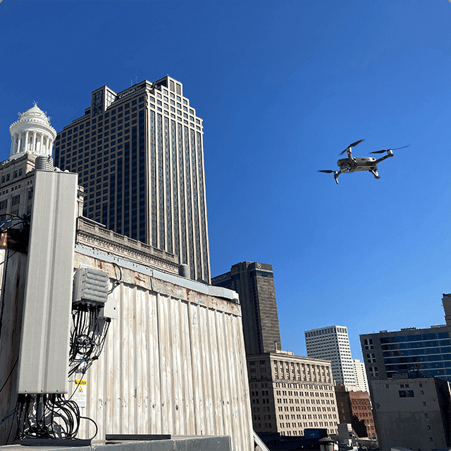
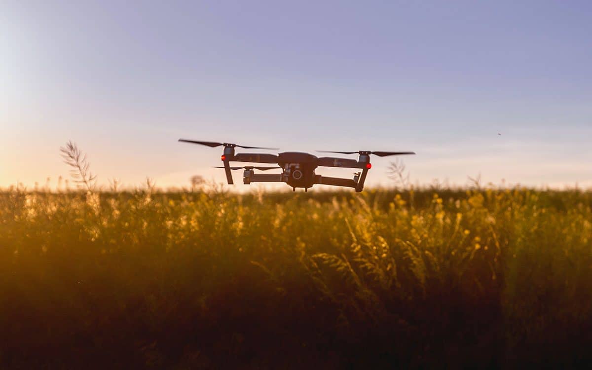
Aerial imaging and data collection help to make informed and accurate decisions that can save time and money, provide safe work environments and establish your company as the industry leader.
FlyGuys offers customizable data collection to cater to your specific needs ensuring your next project is miles ahead of your competitors.
What exactly does that mean?
We know not every industry or company within an industry faces the same challenges and goals. And with so many ways to use aerial imaging, how can we promise that our services will be valuable?
The simple answer is we walk you through exactly what you need and suggest the best results within your budget.
Factors that affect the price of our drone services
Many elements determine the price of a flight.
- Deliverables
-
- # of photos/videos
- Orthomosaics
- Thermal
- LiDAR
-
- Resolution
- Overlap for Orthomosaic
- Flight Time
- AGL
- Location
Deliverables
The number one determinant of price is the deliverables requested. The desired outcome of your project determines what deliverables we provide, and as with most services, the more you get, the more it costs.
Some of the deliverables that affect cost are:
- Number of photos or videos. The standard number of images is 20-30, and the standard for video is 5-10 thirty-second raw footage. A good rule of thumb is for every minute of edited video, you will want about 6-8 minutes of raw footage to cut up.
- Orthomosaics. Ortho mapping depends on the size of the property. Standard mapping is ≈1,000 acres per day for RGB imagery.
- 3D Models (usually double the price of Orthomosaics)
- Thermal
- LiDAR
How to keep your price down
Because your deliverables are top priority, FlyGuys can help you determine the areas where you can save money to maximize the data collected.
Image Resolution
Lower resolution takes less time to fly because it covers more area and costs less. While you may think your project needs the highest resolution, that is not always the case. Aerial imaging with drones will innately have better resolution than traditional aerial imaging. Because of this, the highest resolution is not always necessary.
Image resolution, or spatial resolution, is determined by
- the sensor or camera on the drone
- and the distance from the sensor to the ground.
Each image comprises pixels, which, when zoomed in, are colored squares representing the ground sample distance (GSD). The GSD is measured in centimeters or inches per pixel. Depending on your application, you can decide if a lower resolution is suitable.
Above Ground Level (AGL)
Flying higher above ground level will help keep your drone project’s cost down. The higher the drone flies, the more area it overs, which equals less flight time.
The maximum AGL FlyGuys will fly is 400 ft., and the minimum is 65 ft. Flying a drone at 65 ft. AGL means the drone needs to fly the area slower to capture the whole space, which adds to the flight time and the cost.
The benefit of flying low may capture a higher resolution image, but similar to the level of resolution, flying high is not always necessary. For instance, Orthomosaics can be captured at 400 ft. AGL, so flying lower will only cost more money.
Overlap for Orthomosaics
Orthomosaics require some overlap, meaning the drone must fly over the same area to capture the ground point clouds at different angles to stitch into an image. Orthomosaics can be used for mapping or 2D and 3D modeling, so the percentage of overlap depends on your project.
The minimum requirement for overlap is 70 percent. It is true that overlap creates higher resolution images and allows more data to work with to properly align images, preventing holes and gaps, but it will cost more.
The FlyGuys team can help you determine how much overlap you need to help keep drone service costs down.
Flight Time
Flight time can significantly alter the price of our drone services and is present in every factor that determines the cost. The more flight time that is required, the higher the cost will be.
Flight time is determined by:
- AGL- The higher above ground level the drone flies, the quicker the drone can fly, and the more ground is covered, thus resulting in less flight time.
- GPC- The density of ground point clouds determines the height at which the drone should fly.
- Size of the property- The larger the area, the more time it will take for the drone to capture images.
- Overlap- The higher percentage of required overlap will increase the flight time.
- Deliverables- The number of deliverables you want captured and processed will factor into the flight time.
Get Your Custom Pricing Today
With the help of our sales team and experienced project managers, FlyGuys can customize your package to deliver the quality data you need.
Use the form below to provide some information about your project and receive a free drone services quote.