Drone Use Cases for the Energy Sector
Drones are becoming a game-changer in the rapidly changing energy sector. Here are some of their main use cases.
Drones are becoming a game-changer in the rapidly changing energy sector. Here are some of their main use cases.
We’re exploring how UAV LiDAR can save money over traditional methods, including manual surveying or using helicopters to capture data.
Asset owners are using drone data to create digital twins to see how technology and equipment work both now and in the future. Learn more!
If you want to create a drone program or scale an existing program to a national level, we’re sharing tips on how to succeed!
FlyGuys Drone Services break down the past, present and future of Drone Services, including drone technology like the use of a Digital Twin.
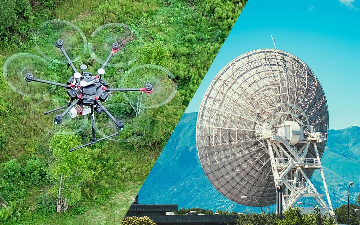
Learn how LiDAR and RADAR differ in their sensing methods and capabilities. We break down why one is better for some applications.
A Point cloud is the foundation for 3D maps and models. Learn more about how they’re created, what they are, and how they are used.
Traditional land surveying or drone surveying: which is right for your project? We’re weighing which one may be right for you.
Learn how the 7 key uses of LiDAR in Agriculture can aid in planning how crops are planted, maximize output, and minimize costs.
Debating between having an in-house drone program or hiring an independent company? Here are 5 reasons to outsource drone services.
Drones provide accurate data for your industrial or construction inspection needs, minimizing safety risks for workers. Learn More!