What Mapping Services Are Best for Earthwork Calculations and Frequent Site Updates?
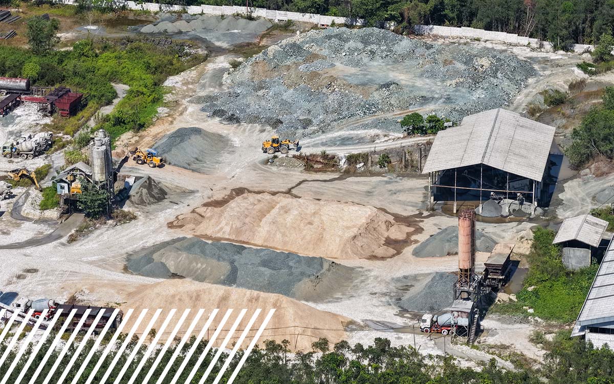
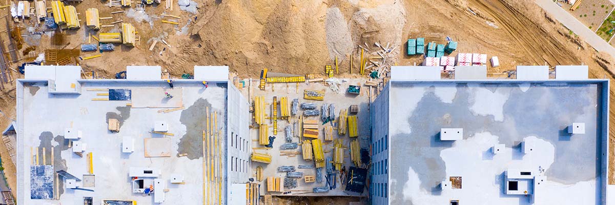
Construction sites change quickly. Stockpiles grow and shrink, grading progresses, and the terrain measured last month may look completely different today. For construction managers and engineering firms, having accurate, up-to-date measurements is essential for tracking earthwork, managing materials and keeping projects on schedule.
But which mapping method is best for measuring those changes?
Drone photogrammetry, LiDAR and traditional land surveys are the three primary methods used for earthwork calculations and construction site mapping. Photogrammetry is often the most practical choice for recurring measurements on open construction sites. LiDAR is particularly useful for vegetated or complex terrain, while traditional surveys provide precise measurements and critical ground control.
The best solution depends on site conditions, accuracy requirements, project size and how frequently updated data is needed.
Which Mapping Service Is Best for Earthwork Calculations?
The right mapping method depends on what needs to be measured and how the data will be used.
Measuring an exposed stockpile and calculating excavation quantities across a heavily vegated development site both require accurate surface data. But the most effective way to collect this data may differ.
Here’s how the three approaches compare:
| Mapping method | Best applications | Key advantages | Limitations |
| Drone photogrammetry | Stockpile volumes, cut-and-fill calculations, recurring construction progress | Efficient coverage of open areas, detailed imagery, repeatable collection | Limited ability to measure ground beneath vegetation |
| LiDAR mapping | Vegetated terrain, complex topography, large development sites | Captures detailed elevation data and can measure ground through gaps in vegetation | Requires specialized equipment, processing and ground classification |
| Traditional land surveying | Ground control, critical elevations, verification and smaller measurement areas | Precise point measurements and established survey workflows | Dense coverage of large sites can require more field time |
For many construction projects, the most effective way to meet specific measurement requirements may be to combine technologies rather than choosing one method over another.

How Does Drone Photogrammetry Calculate Earthwork Volumes?
Drone photogrammetry uses overlapping aerial photographs to create detailed, measurable representations of a construction site.
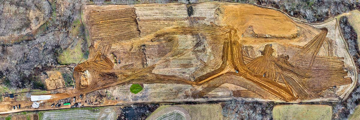
Specialized software processes the images into products such as orthomosaics, 3D point clouds and digital surface models. These datasets can then be used to calculate material quantities and compare site conditions over time.
For earthwork applications, photogrammetry is commonly used for three types of measurements:
- Stockpile volumes: Estimating the quantity of soil, gravel, aggregate or other materials by measuring the stockpile surface relative to a defined base.
- Cut-and-fill calculations: Comparing existing ground elevations with proposed design elevations to estimate how much material needs to be excavated or placed.
- Construction progress: Comparing surface models collected at different stages to measure changes in terrain and material quantities.
Photogrammetry is particularly effective on open sites where the ground is clearly visible.
It must be noted that the technology cannot reliably reconstruct terrain that is hidden beneath dense vegetation. Shadows, reflective surfaces and areas with limited visual detail can also affect the quality of the resulting model.
And while high-resolution imagery provides useful detail, resolution alone does not guarantee measurement accuracy. Ground control, positioning methods and quality checks all influence whether the data is suitable for earthwork calculations.
When Is LiDAR Better Than Photogrammetry for Construction Mapping?
LiDAR can be the better mapping method when vegetation, uneven terrain or limited ground visibility makes photogrammetry less effective.
Instead of using photographs to reconstruct a surface, LiDAR measures distances using laser pulses to create a three-dimensional point cloud.
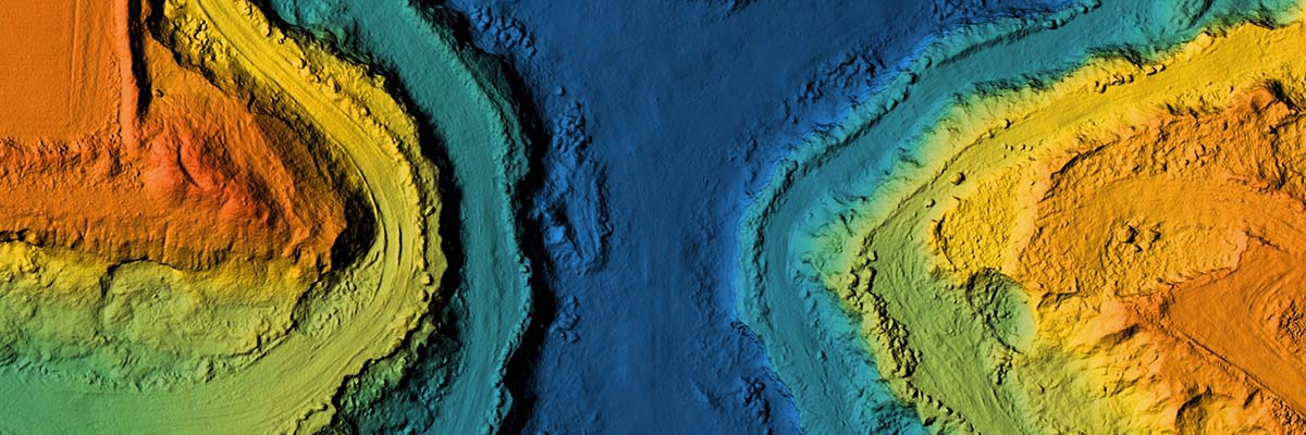
Some laser returns can pass through openings in vegetation and reach the ground below. These returns can be classified and processed to create a digital terrain model representing the underlying surface.
This makes LiDAR particularly useful for:
- Greenfield development sites with trees, brush or vegetation
- Large construction areas with irregular terrain
- Early-stage topographic mapping before clearing and grading
- Projects requiring detailed terrain measurements across difficult-to-access areas
Let’s look at a developer preparing a wooded property for construction. LiDAR may be his go-to technology to establish existing terrain conditions before clearing begins.
Once the site is cleared and grading is underway, photogrammetry may now be the practical option for recurring progress measurements.
LiDAR is not automatically more accurate than photogrammetry. Both methods require appropriate collection procedures, positioning, processing and validation to deliver dependable results.
Are Traditional Land Surveys Still Necessary for Earthwork Calculations?
Yes. Traditional land surveys remain important for establishing control, verifying critical elevations and supporting earthwork measurements that require specific accuracy standards.
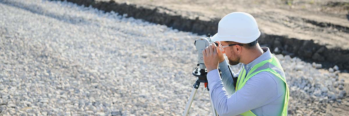
Surveyors use tools such as GNSS receivers and total stations to measure precise locations and elevations.
Drones are used to collect dense surface data across an entire site, but traditional surveying provides a foundation for ensuring information is correctly positioned and referenced.
A construction project may use survey-established ground control points to support drone mapping. Independent survey checkpoints can then help verify the accuracy of the resulting surface model.
Traditional surveys are also valuable when measurements must meet contractual, engineering or regulatory requirements.
Drone mapping and traditional surveying often complement each other rather than compete. Combining them can provide broad site coverage while maintaining the measurement controls needed for reliable earthwork calculations.
How Often Should Construction Sites Be Mapped?
The simple answer is construction sites should be mapped as often as needed to capture meaningful changes in grading, excavation and material quantities.
The mapping schedule really depends on the pace of construction and how the measurements will be used.
For example:
- Weekly mapping: May be useful during active excavation, grading or significant material movement.
- Biweekly mapping: Can support projects with steady earthwork activity and regular progress reporting.
- Monthly mapping: May be sufficient for general construction documentation or projects with slower changes.
- Milestone-based mapping: Can document conditions before and after major activities, such as site clearing, excavation or grading completion.
These are only planning examples, not universal requirements. Some projects may need more frequent collections, while others only require updates at specific milestones.
The primary benefit of recurring mapping is to compare current conditions with previous measurements or design plans.
Construction managers can use these comparisons to monitor material movement, review grading progress and identify potential discrepancies before work advances further.
Of course, frequent data collection only provides meaningful comparisons when the underlying measurements are consistent.
What Makes Earthwork Volume Calculations Accurate?
Accurate earthwork calculations depend on reliable surface data, consistent positioning and appropriate measurement validation.
Three factors are especially important.
1. Consistent ground control
Ground control points (GCPs) are surveyed locations used to help position mapping data accurately.
For recurring construction mapping, maintaining a consistent coordinate reference system and control framework helps ensure that measurements collected on different dates can be compared.
Technologies such as Real-Time Kinematic (RTK) and Post-Processed Kinematic (PPK) positioning can also improve the georeferencing of aerial data.
The appropriate combination of positioning methods, ground control and independent checkpoints depends on the project’s accuracy requirements.
2. Accurate surface models
Earthwork calculations typically involve comparing two surfaces.
For example, a cut-and-fill calculation may compare existing ground elevations against a proposed grading design. A stockpile calculation compares the measured pile surface against an established or estimated base surface.
The type of surface model matters.
A digital surface model (DSM) represents visible surfaces, potentially including vegetation, equipment and structures. A digital terrain model (DTM) represents the underlying ground terrain.
Using the wrong surface or an inaccurate stockpile base can produce misleading volume estimates, even when the original data is highly detailed.
3. Measurement validation
Before earthwork quantities are used for important decisions, the underlying measurements should be checked against the project’s requirements.
Independent checkpoints can help verify positional and elevation accuracy. Reviewing surface models for gaps, unwanted objects or processing errors can also help identify potential problems.
For recurring measurements, teams should maintain consistent coordinate systems, units, surface boundaries and calculation methods.
This helps ensure that changes in reported volumes reflect actual site activity rather than differences in how the data was collected or processed.

How Can Frequent Site Mapping Improve Construction Project Management?
Frequent mapping gives construction managers an up-to-date, measurable view of site conditions. So, instead of relying only on periodic site visits or isolated measurements, teams can review updated surface data to understand how work is progressing.
This information can support several construction activities.
Tracking excavation and grading: Updated terrain models help teams compare actual site conditions against design plans and monitor earthwork progress.
Monitoring material quantities: Recurring stockpile measurements provide estimates of available material and changes in stored quantities.
Identifying potential discrepancies: Comparing current and previous surfaces can reveal unexpected changes that warrant further investigation.
Documenting construction progress: Orthomosaics, elevation models and other mapping deliverables create visual and measurable records of site conditions at different stages.
For engineering firms, these datasets can also support coordination between field teams, project managers and design professionals.
The key is matching the accuracy and deliverables to the intended use. A map used for general progress visualization may not need the same level of validation as a volume calculation used for payment quantities or engineering decisions.

What Should Construction Managers Look for in a Mapping Provider?
Construction managers and engineering firms should choose a mapping provider based on the project’s measurement requirements, not simply the technology being offered.
Before selecting a provider, consider these questions:
- Can the provider recommend photogrammetry, LiDAR or a combination based on the site’s conditions?
- Does the provider understand the accuracy requirements for the intended calculations?
- Can data be collected consistently across multiple visits?
- What ground control and independent verification methods are appropriate?
- Can the provider deliver the surface models, point clouds, orthomosaics or volume reports required by the project?
- Can the provider support recurring collections across multiple locations?
For construction companies operating in several regions, consistency becomes especially important.
Different sites may require different technologies, but the overall approach to data collection, quality assurance and deliverables should remain aligned with each project’s requirements.

How Does FlyGuys Support Earthwork Mapping and Frequent Site Updates?
Coordinating mapping across multiple construction sites can be challenging, especially when each project has different terrain, timelines and data requirements. FlyGuys makes it easier by connecting construction managers and engineering firms with a nationwide network of professional data providers equipped to handle aerial mapping, LiDAR and other reality data collection needs.
FlyGuys’ Professional Services, Mission Coordinators and Sales teams work together to understand each customer’s project needs and coordinate data collection from start to finish. With FlyGuys Capture, customers can easily request services and track their projects through delivery.
Whether it’s measuring stockpiles at a single site or collecting updated mapping data across multiple locations, FlyGuys brings together nationwide coverage, technical expertise and hands-on support to help customers get the data they need, when they need it.
What Is the Best Mapping Service for Earthwork Calculations and Frequent Site Updates?
The best mapping service for earthwork calculations and frequent site updates depends on the site’s conditions and accuracy requirements. Drone photogrammetry is often ideal for tracking earthwork on open construction sites, while LiDAR is better suited for areas with vegetation or complex terrain. Traditional surveying provides important ground control and helps verify measurements.
For many projects, combining these methods gives construction teams a more complete picture of what’s happening on the ground. With accurate, consistent data collected over time, teams can track changes, measure progress and make more informed decisions as work moves forward.
Need earthwork mapping or regular construction site updates?
Whether you’re managing one site or hundreds, FlyGuys can help you get the data you need with reliable collection, nationwide coverage and a team that understands your project’s requirements.
Start Your Next Mapping Project with FlyGuys Capture
Frequently Asked Questions About Earthwork Mapping
What is the best mapping method for earthwork volume calculations?
Drone photogrammetry is often the best option for calculating earthwork volumes on open construction sites. LiDAR is better suited for vegetated or complex terrain, while traditional surveying provides precise measurements and ground control. The best method depends on site conditions, required accuracy and how the measurements will be used.
Can drones calculate cut-and-fill volumes?
Yes. Drones collect aerial imagery or LiDAR data that can be processed into 3D surface models. By comparing existing ground elevations with design elevations or previous surveys, mapping software can calculate estimated cut-and-fill volumes. Accurate results depend on proper ground control, surface modeling and measurement validation.
How accurate are drone stockpile measurements?
Drone stockpile measurements can be highly accurate when the data is collected and processed correctly. Accuracy depends on factors such as ground control, image quality, site conditions and how the stockpile’s base surface is defined. Independent checkpoints and quality assurance help verify measurements before they are used for project decisions.
Is LiDAR or photogrammetry better for construction site mapping?
Photogrammetry is generally a practical choice for open construction sites that need frequent progress updates, stockpile measurements or cut-and-fill calculations. LiDAR is often better for wooded areas, complex terrain or locations where vegetation obscures the ground. Both methods can provide valuable construction data when properly collected and validated.
How often should construction sites be mapped?
Construction sites may be mapped weekly, biweekly, monthly or at major project milestones, depending on how quickly conditions change. Active excavation and grading projects may benefit from more frequent updates, while slower-moving projects may need less frequent collection. Consistent mapping methods are important for comparing measurements over time.
Can drone mapping replace traditional land surveying?
Drone mapping can complement traditional surveying, but it does not replace every surveying task. Drones efficiently collect detailed surface data across large areas, while traditional surveys remain important for establishing control, verifying critical elevations and meeting certain engineering or regulatory requirements. Many construction projects benefit from combining both methods.
What should construction managers look for in an earthwork mapping provider?
Construction managers should look for a provider that understands project accuracy requirements, offers appropriate mapping technologies and can deliver consistent data across multiple site visits. Ground control, quality assurance, compatible deliverables and the ability to support recurring collections are especially important for reliable earthwork calculations.