Photogrammetry in Construction
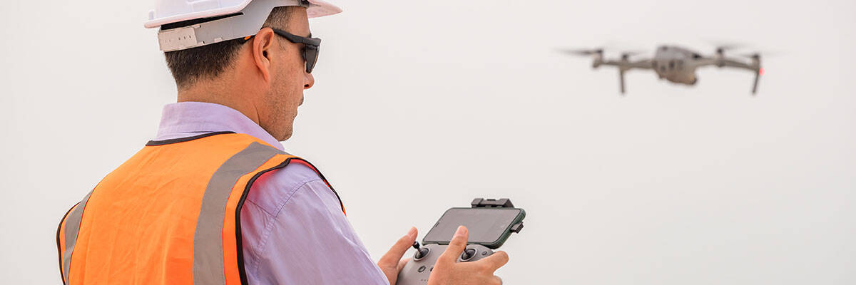
Construction is a dynamic and ever-evolving industry driven by technological advancements and innovative practices. One such innovation that has significantly impacted the construction sector is photogrammetry. Photogrammetry, a technique that uses photographs to create accurate 3D models and measurements, has found numerous applications in construction, offering a range of benefits to professionals in the field.
Understanding Photogrammetry
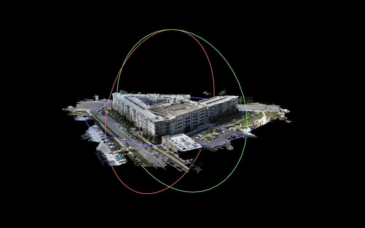
Photogrammetry is the science of obtaining precise measurements and three-dimensional models from photographs. It involves the analysis of the geometry and spatial properties of images to extract data and create accurate representations of objects and environments. In construction, this technique is commonly used for a variety of applications.
Applications of Photogrammetry in Construction
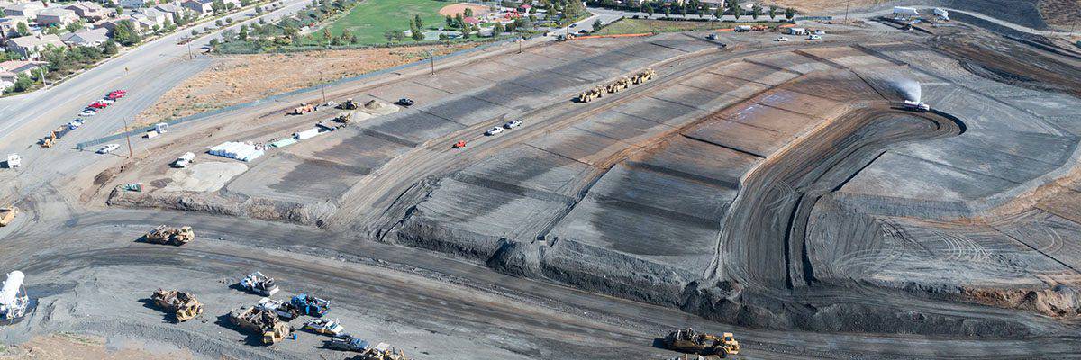
Site Survey and Mapping
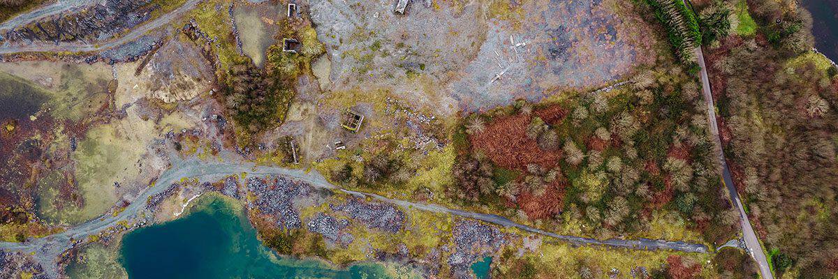
Photogrammetry is widely used for site surveys and mapping in construction. By capturing a series of aerial or ground-level photographs, it is possible to create detailed maps of construction sites. These maps help understand the terrain, identify potential challenges, and plan construction activities efficiently. Aerial photogrammetry, in particular, has become a game-changer for large construction projects, enabling quick and cost-effective surveying of extensive areas.
As-Built Documentation
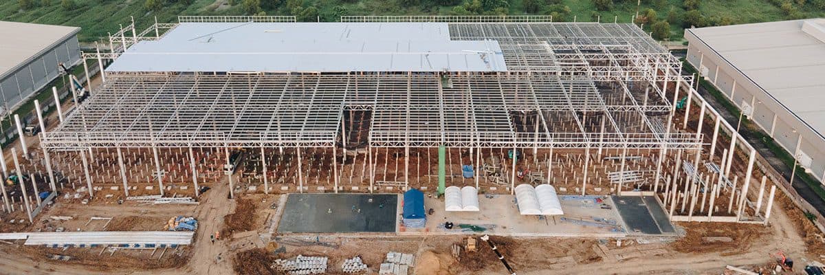
Construction projects involve a series of iterations, changes, and modifications. Photogrammetry can be used to create accurate as-built documentation. By capturing photographs at different stages of construction, project managers can compare the as-built conditions with the initial design, ensuring that the project is progressing as planned and that deviations are addressed promptly.

BIM (Building Information Modeling)
Building Information Modeling is a crucial aspect of modern construction. It involves creating digital representations of building components and their interactions. Photogrammetry can assist in populating BIM models with accurate data by capturing detailed images of structural elements, plumbing, electrical systems, and more. This contributes to better project coordination and helps stakeholders make informed decisions.

Quality Control and Inspections
Ensuring the quality and safety of construction projects is a top priority. Photogrammetry aids inspection by providing precise measurements and visuals for identifying defects, discrepancies, and potential hazards. It allows for efficient and systematic quality control, reducing the need for costly rework.
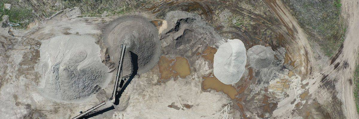
Volume Calculations (Volumetrics)
When dealing with earthmoving or excavation projects, accurately calculating volumes is crucial. Photogrammetry can measure stockpile volumes, excavation quantities, and landfills. This not only simplifies the process but also reduces the margin for error compared to traditional methods.
Progress Monitoring
Construction progress monitoring is simplified through the use of photogrammetry. It enables project managers to track construction progress, identify delays, and optimize resource allocation. Regularly updated 3D models generated from photographs provide a visual representation of the project’s evolution.
Benefits of Photogrammetry in Construction
It’s Cost-Effective
Photogrammetry is a cost-effective alternative to traditional surveying methods, as it reduces the need for on-site personnel and expensive equipment. Aerial photogrammetry, in particular, provides a broad overview of large areas in a relatively short period, saving time and money.
Provides Accuracy and Precision
Photogrammetry offers a high level of accuracy and precision, resulting in reliable data for decision-making. Measurements and 3D models created through this method are often more precise than those obtained through manual surveying.
Increases Safety
By minimizing the need for workers to be on-site for surveying, photogrammetry contributes to improved construction site safety. It reduces the potential risks associated with manual measurements and data collection.
Creates Efficient Documentation
Creating detailed and comprehensive documentation is crucial in construction. Photogrammetry streamlines the documentation process, ensuring that project records are up-to-date and accurate. This documentation is valuable in disputes, warranty claims, or future modifications.
Improves Project Management
Photogrammetry aids project managers in making informed decisions by providing real-time data on construction progress and site conditions. This, in turn, leads to better project coordination and cost control.
Reduces Environmental Impact
Reducing the need for extensive on-site surveying and measurement processes can positively impact the environment. Fewer site visits and reduced fuel consumption contribute to a smaller carbon footprint.
Photogrammetry is a Cornerstone for the Construction Industry
Photogrammetry has revolutionized the construction industry, offering many applications and significant benefits. This technology enhances efficiency, accuracy, and safety in construction projects, from site surveys and mapping to quality control and progress monitoring. As technology continues to advance, the role of photogrammetry in construction is expected to grow, helping to shape the future of the industry in an increasingly digital and data-driven world. It’s safe to say that photogrammetry is not just a tool for today but a cornerstone for the future of the construction industry.