
The Competitive Edge: How Reality Data Capture Wins More Roofing Contracts and Saves Thousands
Win more roofing bids and boost ROI with drone-based reality data capture for accurate insights.
Tag
Win more roofing bids and boost ROI with drone-based reality data capture for accurate insights.
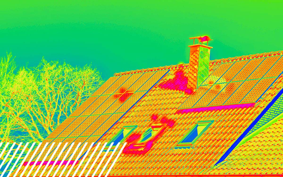
All of your thermal roofing inspection questions answered. Learn how drones can inspect your roof.

Break data silos with Reality Data Capture to boost construction accuracy and efficiency.


Reality data capture helps to enhance golf games by creating accurate course maps.

Watch as Kevin O’Leary grills FlyGuys CEO Joe Stough on scaling drone-powered data, fueling AI innovation, and why culture drives success.

LiDAR in surveying boosts precision, efficiency, and “first time right” results on every project.

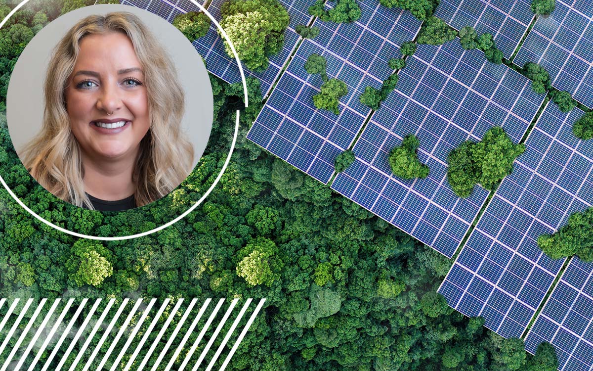
Discover how drone data capture is transforming renewable energy projects from start to finish.

Learn all about LiDAR: The Glossary, Use Cases, and Clarifications You Actually Need
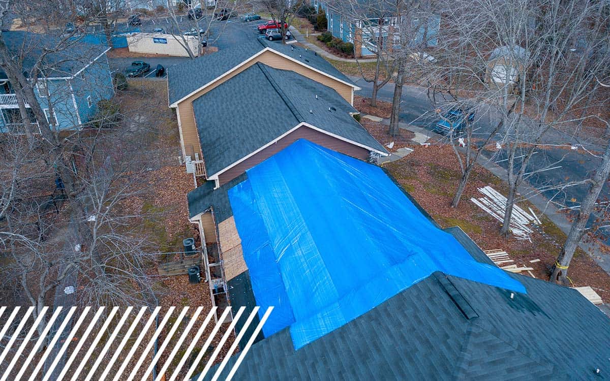
Discover how insurance companies use drones to speed up claims and improve inspections.
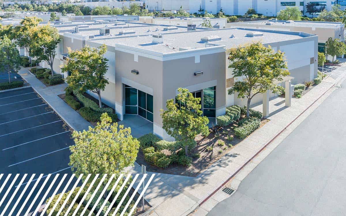
Boost real estate due diligence & insurance planning with drone data and aerial insights.