6 Best Practices for Reality Data Capture: A Data-Driven Approach
Reality data capture has become a crux for industries such as construction, insurance, inspections, and agriculture. Ensuring accuracy in data capture is crucial for projects in these sectors, where precise information can make a significant impact. There are many possibilities for RDC use cases, so let’s explore the best practices that guarantee the accuracy of reality data capture specifically tailored to some of the most common industries.
Understanding Reality Data Capture
Reality data capture involves digitally collecting precise information about the physical world, serving as a foundational element for decision-making and project execution. Laser scanning, photogrammetry, and LiDAR technology are standard methods to achieve accurate data capture.

Best Practices for Accurate Reality Data Capture
In any data-seeking industry, general guidelines exist for collecting the most informative data. Let’s take an in-depth look into methodologies and industry-specific applications that underscore the significance of leveraging precise data. As we navigate through the particulars of reality data capture, our aim is to equip professionals with the knowledge needed to leverage the power of accurate information in their projects.
1. Define Project Goals Clearly
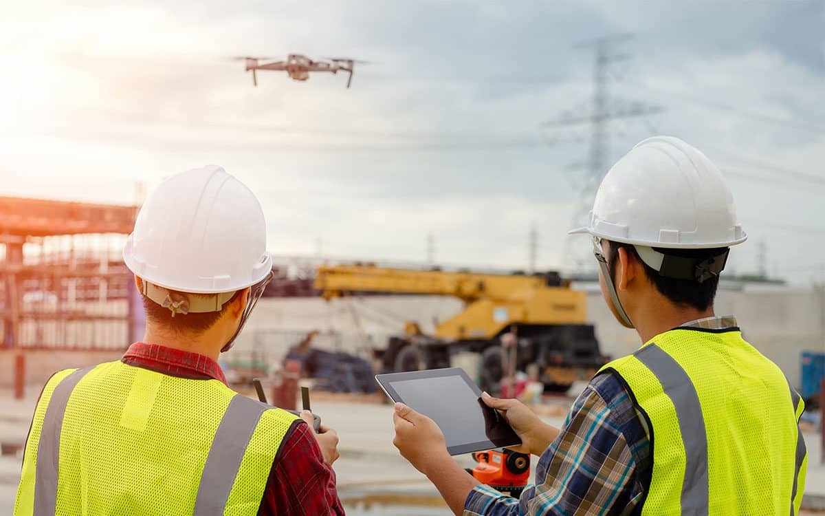
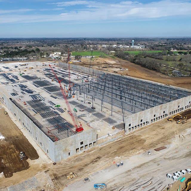
Clearly outline the project’s objectives, specifying the required level of detail, coverage area, and expected deliverables. This is particularly crucial for construction projects, where precise measurements and terrain details are vital.
Example: Imagine a construction project aiming to revitalize a historic urban district. Clearly defined project goals are essential for successful reality data capture:
Project Objectives:
- Preserve historic buildings while incorporating modern amenities.
- Expand public spaces strategically for community engagement.
- Assess and enhance existing infrastructure.
Level of Detail:
- Capture precise measurements of buildings and structural details.
- Detail the landscape, including elevation changes and natural features.
Coverage Area:
- Clearly define district boundaries for comprehensive coverage.
- Extend coverage to adjacent areas influencing development.
Expected Deliverables:
- Generate detailed 3D models for visualization.
- Provide high-resolution terrain maps for construction insights.
- Deliver a comprehensive infrastructure report with improvement recommendations.
These clear goals ensure that reality data capture aligns with preserving history, enabling expansion, and making informed infrastructure decisions for the urban district.
2. Select the Right Technology
Choose technology that aligns with the project’s needs. For construction, laser scanning might be ideal for detailed indoor environments, while agriculture projects may benefit from aerial photogrammetry for large-scale mapping.
3. Ensure Proper Calibration
Regularly calibrate equipment such as cameras, sensors, and devices used in the data capture process to maintain accuracy. This is essential in insurance, where accurate property assessments rely on calibrated tools.
4. Capture Sufficient Overlap
Whether conducting inspections or mapping agricultural fields, ensure sufficient overlap in data capture. Overlapping data points enhance the overall precision of the captured reality data.
5. Account for Environmental Conditions
Be mindful of environmental factors like lighting and weather conditions, especially during outdoor inspections or agricultural mapping. Adjust capture parameters accordingly to address potential challenges.
6. Quality Control and Validation
Implement stringent quality control measures to identify and rectify errors in the captured data. This is crucial for insurance assessments, ensuring accurate and reliable information for claims and risk evaluation.
Notable Reality Data Capture Projects and Users
Construction Planning and Design
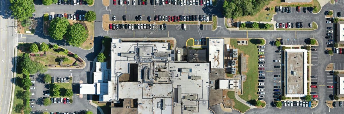
Architects and construction professionals use reality data capture to create accurate 3D models of existing structures and terrains. This aids in designing and planning construction projects with precision, streamlining processes, and reducing costly errors.
Insurance Property Assessments
In the insurance sector, reality data capture is employed for accurate property assessments. This is particularly valuable in determining property values, risk evaluation, and claims processing.
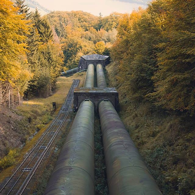
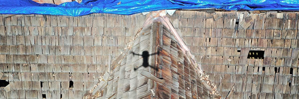
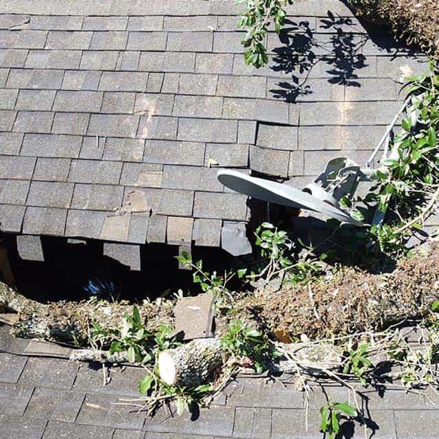
Infrastructure Inspections
Reality data capture is utilized in critical infrastructure inspections, such as bridges and pipelines. This ensures that inspections are thorough, precise, and contribute to maintenance and safety measures.
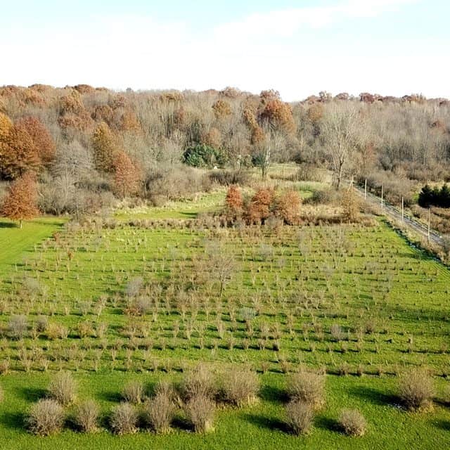
Agricultural Field Mapping
Agriculture benefits from reality data capture for field mapping and monitoring. Accurate data helps farmers optimize crop management, plan irrigation, and enhance overall agricultural productivity.
Outsourcing Reality Data Capture: A Strategic Move
Outsourcing reality data capture offers strategic advantages for businesses.

Expertise and Specialization. External service providers bring specialized expertise in reality data capture technologies, ensuring that projects benefit from the latest advancements and industry-specific knowledge.

Cost Efficiency. Outsourcing eliminates the need for extensive in-house investment in equipment and training. This proves cost-effective, especially for businesses in the insurance sector seeking accurate property assessments.

Faster Turnaround. Dedicated service providers can deliver faster turnaround times due to their focus and experience. This particularly benefits time-sensitive projects, such as construction planning and insurance claims processing.

Scalability. Outsourcing provides scalability, allowing businesses to adapt to varying project sizes without requiring extensive internal adjustments. This is advantageous for industries like agriculture, where mapping requirements may vary seasonally.
Adopting best practices for reality data capture is paramount for any industry looking for quality data. By tailoring these practices to the specific needs of each field, organizations can ensure precise and reliable data that contributes to informed decision-making and successful project outcomes. As industries continue to embrace technological advancements, integrating these best practices will be instrumental in staying ahead in the rapidly evolving landscape.
To schedule your reality data capture mission, contact FlyGuys today!