
Why Telecommunications Companies Are Turning to LiDAR
Find out how FlyGuys integrates with your AI to fuel your business.
Find out how FlyGuys integrates with your AI to fuel your business.

Find out how FlyGuys integrates with your AI to fuel your business.

Find out how FlyGuys integrates with your AI to fuel your business.

Find out how FlyGuys integrates with your AI to fuel your business.

Find out how FlyGuys integrates with your AI to fuel your business.
Find out how FlyGuys integrates with your AI to fuel your business.

Find out how FlyGuys integrates with your AI to fuel your business.

Find out how FlyGuys integrates with your AI to fuel your business.

Find out how FlyGuys integrates with your AI to fuel your business.

Find out how FlyGuys integrates with your AI to fuel your business.
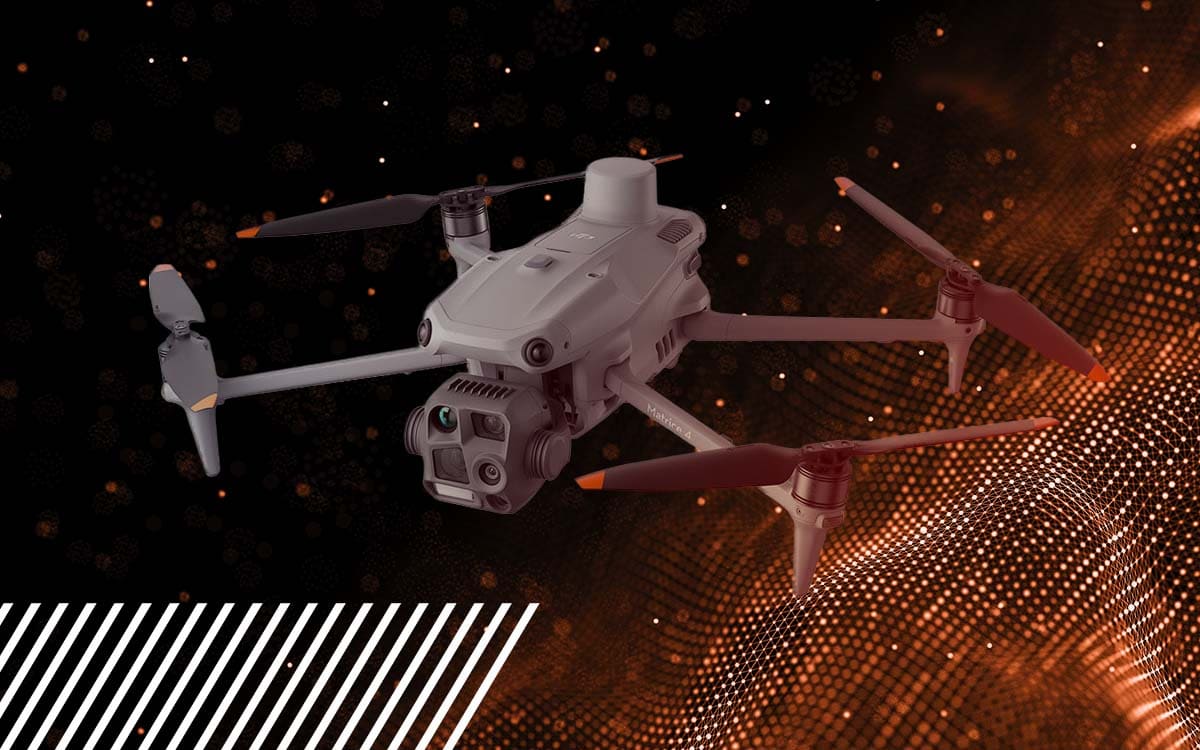
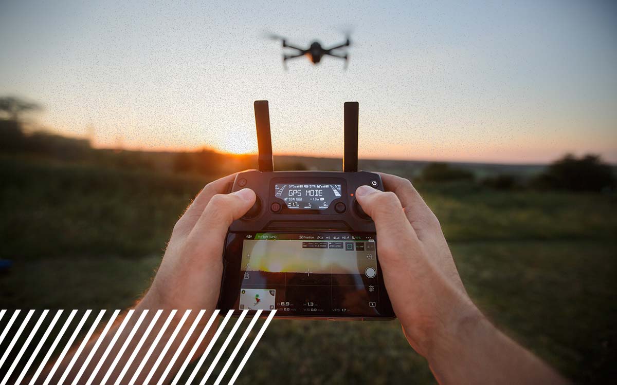
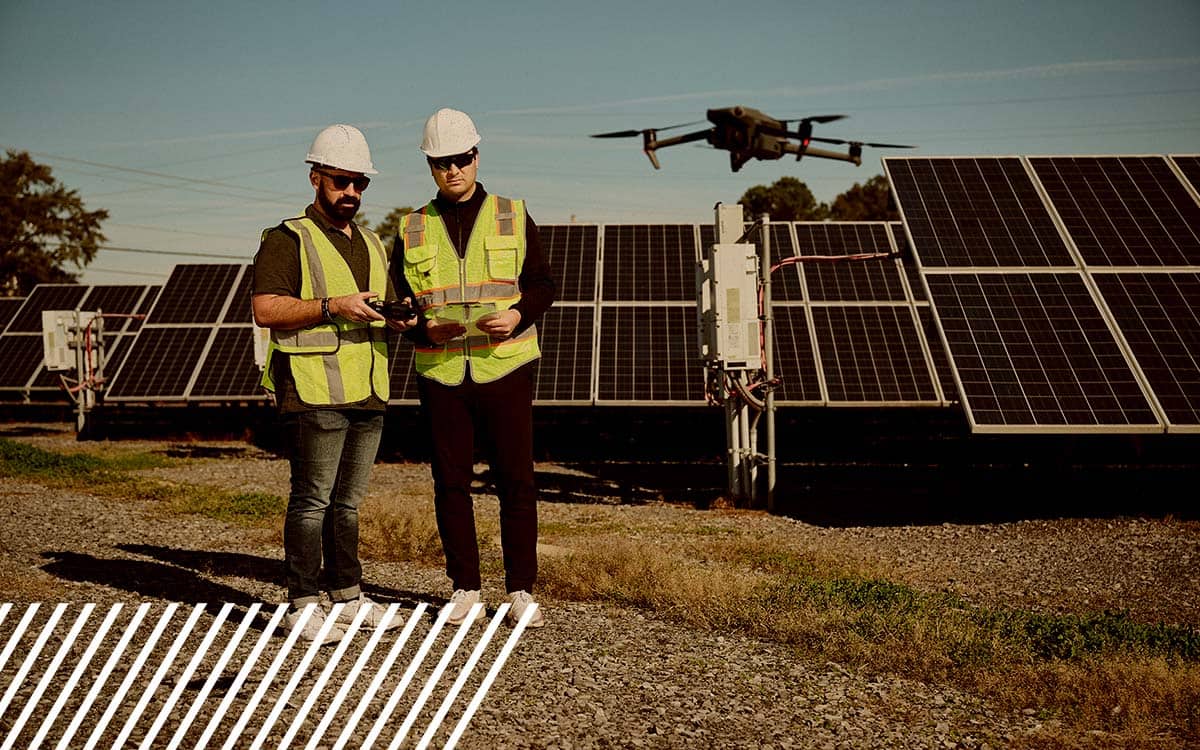
Whether you are a novice pilot or looking to get into the industry, you might find details about the drone we use quite helpful.