How Reality Data Capture Helps Prepare for Disasters
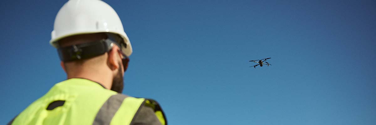
As natural disasters become more frequent and severe, proactive disaster preparedness has become increasingly vital. Drones and LiDAR technology have revolutionized how we approach disaster management by providing detailed and accurate 3D models of our environment. These models allow for comprehensive analysis and planning to mitigate potential disaster impacts. Continue reading as we explore the multifaceted role of reality data capture in disaster preparedness, from detailed risk assessment and scenario planning to infrastructure monitoring, enhanced emergency response, and long-term urban planning.
Detailed Risk Assessment
High-Resolution 3D Models
Reality data capture enables the creation of high-resolution 3D models of terrain, buildings, and infrastructure. These models are instrumental in identifying vulnerabilities such as weak structures, flood-prone areas, and landslide risks. The accuracy and detail provided by these models surpass traditional mapping methods, allowing for a more precise assessment of potential hazards.
For example, in urban areas, detailed 3D models can reveal subtle variations in building heights and materials, identifying structures that may be more susceptible to damage during earthquakes. In rural and forested regions, LiDAR can penetrate dense vegetation to map the underlying terrain, highlighting areas at risk of landslides or erosion.
Prioritizing Mitigation Efforts
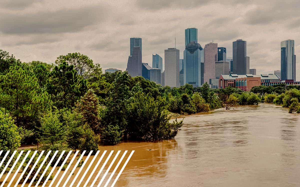
By analyzing these high-resolution models, authorities can prioritize areas that need fortification or preventive measures. This proactive approach significantly reduces the risk of catastrophic failure during a disaster. For instance, in flood-prone regions, data capture can identify low-lying areas where water is likely to accumulate. Planners can then design effective drainage systems, reinforce levees, or construct flood barriers to protect vulnerable communities.
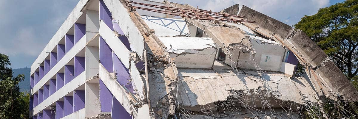
The data can be used to assess the structural integrity of buildings and infrastructure in earthquake-prone zones. Buildings identified as high-risk can be retrofitted or strengthened, while new construction can be designed to meet stringent earthquake-resistant standards.
California Wildfires
In California, where wildfires pose a significant threat, drones equipped with infrared cameras and LiDAR have been used to map vegetation density and topography. This data helps identify areas with high fuel loads and potential firebreaks. By understanding the landscape in detail, fire management teams can create more effective firebreaks, plan controlled burns, and allocate resources more efficiently during firefighting operations.
Simulation and Scenario Planning
Disaster Simulations
With accurate 3D models, disaster management teams can simulate various disaster scenarios, such as floods, earthquakes, and hurricanes. These simulations help in understanding the potential impact on different areas, allowing for the development of targeted response strategies and evacuation plans.
Flood Simulations
For instance, simulating flood events can identify which areas would be most affected, helping to create effective flood defense systems and evacuation routes. By inputting different rainfall intensities and durations into the models, planners can predict how water will flow across the landscape. This information is crucial for designing stormwater management systems and identifying safe evacuation routes.
Earthquake Simulations
In earthquake-prone regions, simulations can reveal how different building structures respond to seismic activity. This knowledge guides the retrofitting of vulnerable buildings and the construction of new structures that can better withstand earthquakes. By modeling various earthquake scenarios, planners can also develop emergency response plans, ensuring that resources are positioned where they are most needed.
Hurricane Simulations
Hurricane simulations provide insights into wind speeds, storm surge levels, and potential damage to infrastructure. This information helps coastal communities prepare by reinforcing buildings, constructing seawalls, and planning evacuation routes. In addition, these simulations can guide the placement of emergency shelters and the development of communication strategies to keep residents informed during a storm.
New York City
New York City has utilized reality data capture and simulation technologies to prepare for hurricanes and coastal flooding. After Hurricane Sandy, the city invested in detailed LiDAR mapping and 3D modeling of its coastline. This data has been used to simulate storm surges and assess the vulnerability of infrastructure. As a result, the city has implemented various flood protection measures, including elevated infrastructure, floodwalls, and improved drainage systems.

Infrastructure Monitoring and Maintenance
Ongoing Monitoring
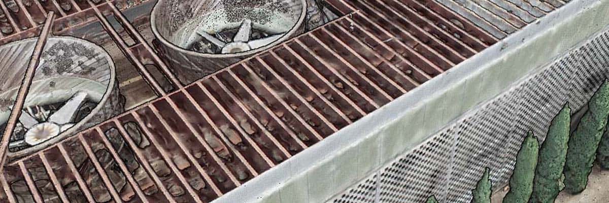
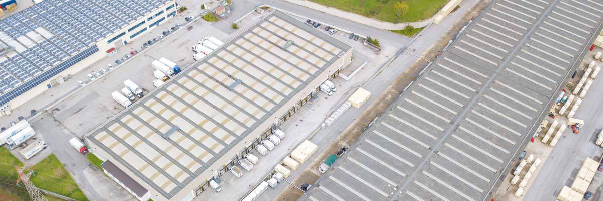
Regular updates and scans using drones and LiDAR can monitor the health of critical infrastructure like bridges, dams, and power lines. By detecting signs of wear and tear or structural weaknesses early, maintenance can be carried out proactively, preventing failures during disasters.
Proactive Maintenance
This ongoing monitoring ensures that infrastructure remains resilient and capable of withstanding extreme events. For example, a bridge showing signs of structural fatigue can be repaired before a major flood or earthquake exacerbates the damage. Similarly, power lines and electrical infrastructure can be inspected for vulnerabilities, reducing the risk of outages during storms.
Enhanced Emergency Response
Real-Time Data Capture
In the event of a disaster, real-time data capture from emergency response drones provides immediate situational awareness. High-resolution aerial imagery and 3D models help emergency responders assess the extent of damage, identify safe routes, and allocate resources efficiently.
Rapid Assessment
This rapid assessment capability is vital for effective disaster response and recovery efforts. For example, after a hurricane, disaster relief drones can quickly survey the affected areas, providing real-time data on road conditions, blocked pathways, and the extent of structural damage. This information is crucial for coordinating rescue operations and ensuring emergency services can reach those in need.
Nepal Earthquake
After the devastating earthquake in Nepal in 2015, LiDAR technology was employed to assess the structural integrity of heritage sites and monuments. The detailed 3D models created helped prioritize restoration efforts and ensured the safety of tourists and locals. This proactive approach not only preserved cultural heritage but also enhanced public safety.
Long-Term Urban Planning
Disaster-Resilient Urban Design
Using reality data capture, urban planners can incorporate disaster resilience into the design of cities and communities. By understanding the terrain and potential hazards, planners can design infrastructure that withstands extreme weather events and natural disasters.
Sustainable Planning
This includes building flood defenses, designing buildings to resist earthquakes, and planning green spaces that can absorb excess rainwater. For example, urban planners in coastal cities can use elevation data to design sea walls and storm surge barriers effectively. In addition, green infrastructure, such as parks and wetlands, can be strategically placed to absorb floodwaters and reduce the urban heat island effect.
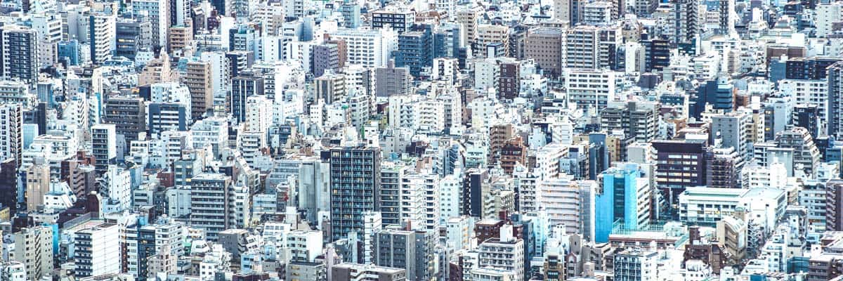
Tokyo
Tokyo, one of the most densely populated cities in the world, faces multiple natural hazards, including earthquakes and typhoons. The city has utilized reality data capture to map its terrain and infrastructure in great detail. This data has informed the development of earthquake-resistant buildings, extensive drainage systems, and green spaces that mitigate the impact of heavy rainfall. As a result, Tokyo has become a global leader in disaster-resilient urban planning.
Weathering the Storm Together
By leveraging the power of reality data capture, we can significantly enhance our preparedness and resilience against future disasters. At FlyGuys, we are committed to providing the highest quality data to support these critical efforts. Our technology and expertise ensure that disaster management teams, urban planners, and emergency responders have the accurate, real-time information they need to protect communities and save lives.
Reality data capture stands as a cornerstone in the proactive measures against natural and man-made disasters. With the precise data and comprehensive models available through data collection, communities and authorities are better equipped to face and mitigate the adverse impacts of disasters, ensuring safety and resilience for all.
As we continue to face the challenges posed by natural disasters, it is essential to leverage cutting-edge technologies to enhance our preparedness and response capabilities. FlyGuys is at the forefront of this effort, providing state-of-the-art reality data capture services that empower communities to protect lives and property. Contact us today to learn more about how our services can support your disaster preparedness and resilience initiatives. Together, we can build a safer, more resilient future.