Services Provided: Aerial Imaging
Customer Problem
CGA required accurate topographical data on various popular golf courses. Traditionally, this data was collected via a surveying crew, which was more expensive, time consuming and unnecessarily precise for CGA’s needs. This elevation data is foundational to CGA’s business model, and they believed that improving efficiency in this area could reduce time and cost of deliverables.
solution
FlyGuys Solution
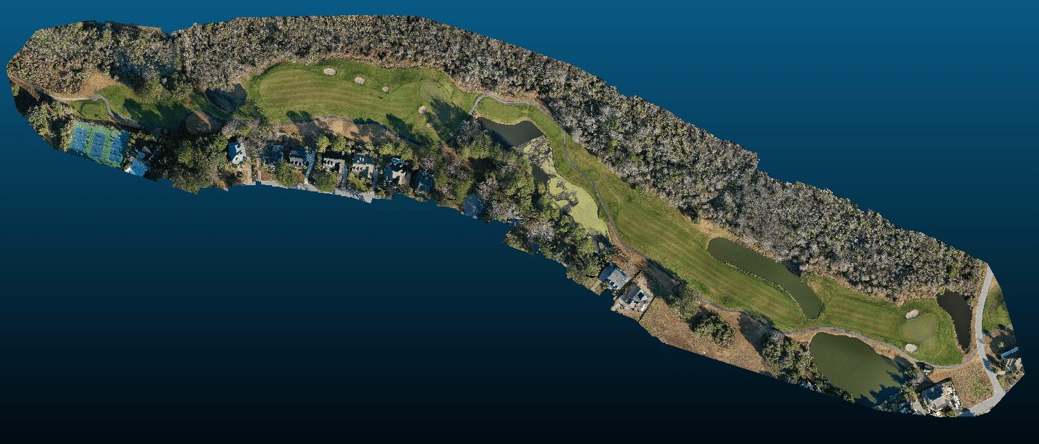
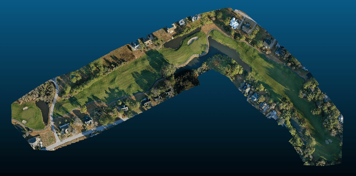
FlyGuys coordinated with a course manager to collect aerial data at their convenience. CGA was delivered orthomosaic and point cloud data for 2D and 3D visualization respectively.
outcome


