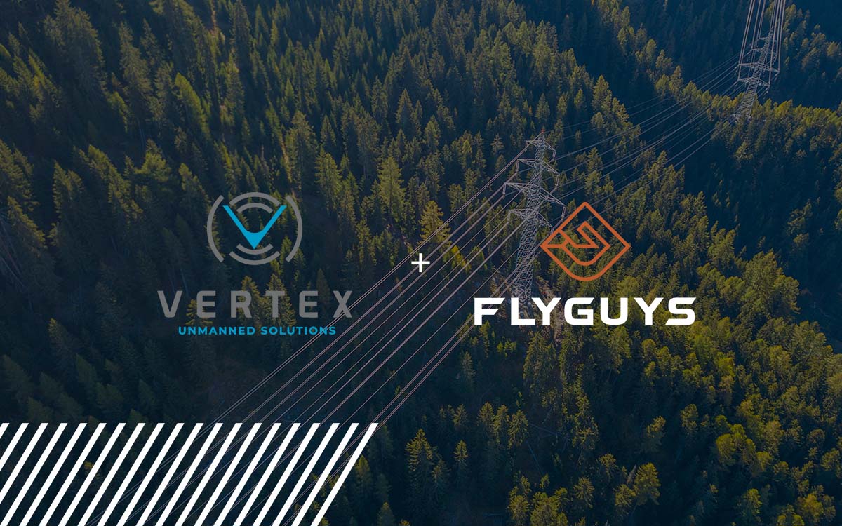
Scaling Aerial Mapping: How FlyGuys and Vertex Combine Drone and Aircraft Data Solutions
See how FlyGuys reality data capture is collaborating with unmanned services of Vertex
Category
See how FlyGuys reality data capture is collaborating with unmanned services of Vertex

Win more roofing bids and boost ROI with drone-based reality data capture for accurate insights.
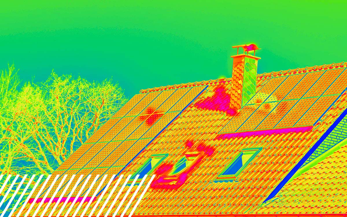
All of your thermal roofing inspection questions answered. Learn how drones can inspect your roof.
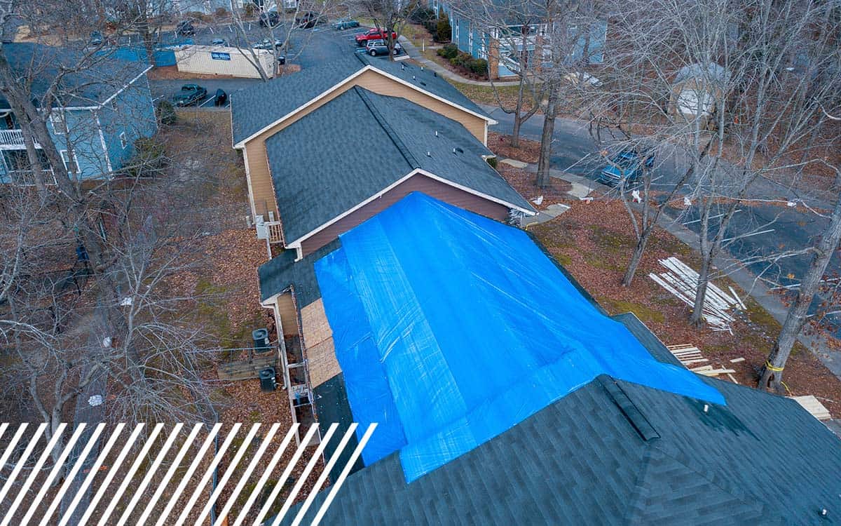
Discover how insurance companies use drones to speed up claims and improve inspections.
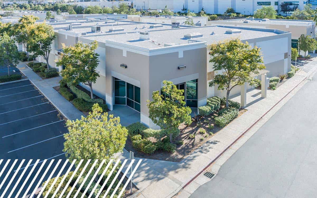
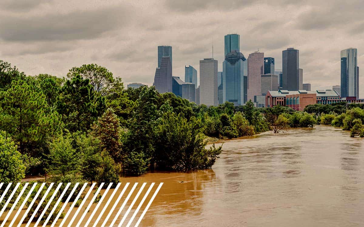
Boost real estate due diligence & insurance planning with drone data and aerial insights.

Discover how LiDAR and drone services are transforming telecom planning and inspections.
Explore the critical aspects of drone safety and regulations in work zones. Learn how to navigate the skies responsibly.
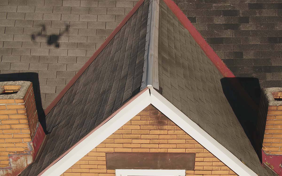
Why you need a roof inspection for fair claims and why you should partner with FlyGuys to get your roof inspection.
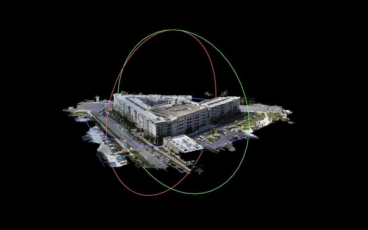
Photogrammetry creates 3D models and has numerous applications in construction, offering a range of benefits to professionals in the field.
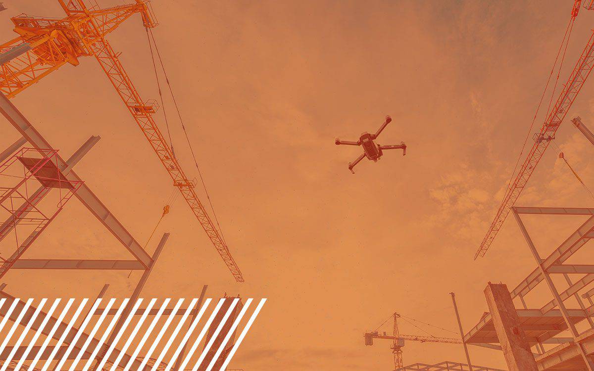
Reality Data Capture is changing the way the construction industry operates by increasing safety and decreasing costs.
How to prepare your site for a successful and accurate drone scan. Steps to preparing your site for a drone flight.