
Preparing Your Site for a Drone Scan: Key Steps for Success
Drones are undeniably invaluable tools in various industries, offering efficiency, accuracy, and cost-effectiveness in tasks such as aerial mapping, surveying, and inspections. Whether you’re in construction, agriculture, or land development, preparing your site for a drone scan is essential to ensure that you get the most accurate and useful data. Here we will discuss key steps to take when preparing your site for a drone flight, highlighting the importance of gate and lock maintenance, grass cutting, gravel smoothing, and target placement.
1. Ensure Gates and Locks Are in Working Order
Before any drone scan takes place, it’s crucial to ensure that all gates and locks on your site are in good working condition. Why? Because pilots require access to various parts of your site to capture the data you need. Broken gates or locks can hinder the pilot’s access, delaying the scan and potentially causing safety hazards.
Here are some essential gate and lock maintenance tips:
- Regularly inspect gates and locks for wear and tear.
- Lubricate hinges and locking mechanisms to prevent rust.
- Replace any damaged or malfunctioning components promptly.
- Keep spare keys or access codes handy for the drone operator.

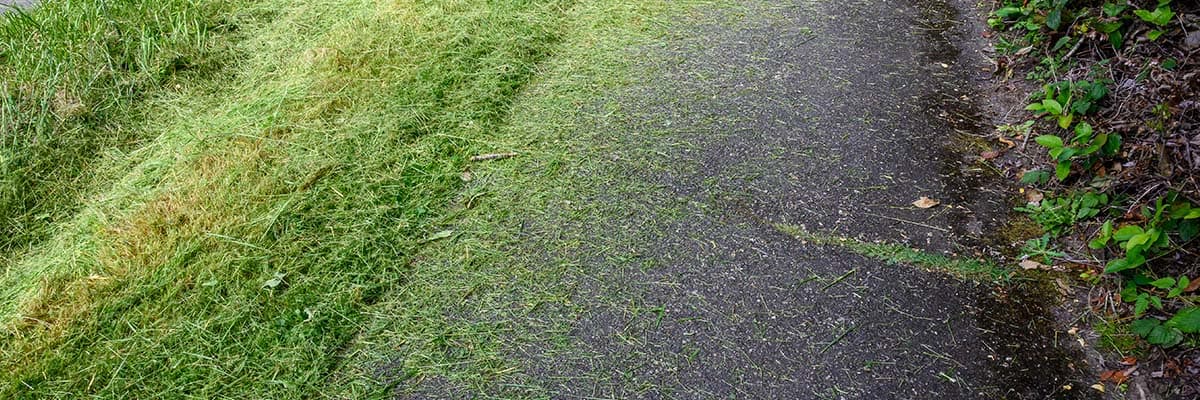
2. Cut Fields and Grass for Accurate LiDAR Scans
LiDAR (Light Detection and Ranging) technology is commonly used in drone surveys to create detailed 3D models of the terrain. Tall grass and overgrown vegetation can obstruct LiDAR sensors, resulting in incomplete or inaccurate scans.
To optimize the quality of your LiDAR scan, consider these steps:
- Mow and trim the grass and vegetation in the scan area.
- Remove debris, fallen branches, and other obstacles from the site.
- Ensure that no tall objects, like trees or shrubs, obstruct the drone’s flight path.
3. Smooth Gravel Surfaces
Well-maintained roads and accessways are essential for efficient drone operation and mapping. Uneven or rough terrain can lead to unstable drone flights, producing subpar data, and is a safety risk to the drone pilot. An even and smooth road allows the drone pilot to walk the flight plan quicker and safer, collecting data faster.
Our drone pilot Zack was recently flying a LiDAR scan of a proposed solar farm in Texas. “The owner laid down gravel roads and paths throughout the property,” Zack tells us. “Thanks to the ease of access, I was able to scan 2,000 acres in only 2 days.”
Tips for ensuring smooth surfaces for drone scan:
- Level the gravel roads to create a smooth, even surface.
- Repair any potholes or damage to the roads.
- Ensure proper drainage to prevent water accumulation.

4. Leave Clear Boundary Area for Target Placement
To improve the accuracy of your drone scans and surveys, it’s helpful to place targets at specific locations around your site. These targets serve as reference points for data alignment and georeferencing.
To prepare for target placement:
- Mark designated target locations around the boundary of your site.
- Clear the areas around the targets of any obstacles or debris.
- Use highly visible and durable targets, such as reflective markers or painted symbols.

Optimizing Your Site is the Foundation of Success
Preparing your site for a drone scan is a crucial step in ensuring accurate, efficient, and safe data collection. By maintaining gates and locks, cutting fields and grass, leveling gravel surfaces, and leaving clear areas for target placement, you can optimize your site for drone operations. This preparation will ultimately lead to high-quality data, better decision-making, and improved project outcomes. When it comes to drone scans, proper site preparation is the foundation of success.
Do you have a site that needs aerial data collection? Call FlyGuys today and we can schedule a free consultation and help get your site prepped for ultimate success!