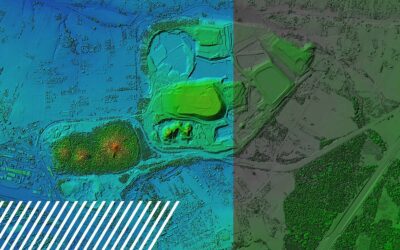
The Power of GIS in the Reality Data Capture Industry Geographic Information Systems (GIS) are revolutionizing the way industries collect, analyze, and utilize spatial data. As a critical component of reality data capture, GIS combines location-based data with...
Planimetrics: Mapping the Details That Matter
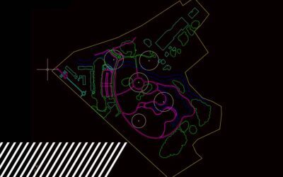
Planimetrics: Mapping the Details That Matter Modern mapping requires accuracy, detail, and speed, making planimetric mapping one of the most powerful tools available. At FlyGuys, we leverage cutting-edge technology to provide planimetric mapping services that...
Achieving Global Accuracy with Ground Control: The Backbone of Precise Data Capture
Achieving Global Accuracy with Ground Control: The Backbone of Precise Data Capture Imagine a construction project covering hundreds of acres. Every inch counts as the team maps out infrastructure, plans roads, and coordinates utilities. This type of work...
Selling Real Estate with Drone Services
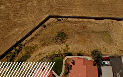
Selling Real Estate with Drone Services While it is true that the real estate market experiences fluctuations due to various economic and social factors, drone technology provides a reliable and consistent tool that professionals can depend on. The integration of...
How Reality Data Capture Helps Prepare for Disasters
How Reality Data Capture Helps Prepare for Disasters As natural disasters become more frequent and severe, proactive disaster preparedness has become increasingly vital. Drones and LiDAR technology have revolutionized how we approach disaster management by...
Using Drone Data to Create a Digital Twin
Using Drone Data to Create a Digital Twin Digital twins allow asset owners, engineers, inspectors and designers to not only understand the current condition of assets and infrastructure through remote digital inspection, but digital twins allow them to understand...


