At FlyGuys, we offer specialized Premium Services that provide high-accuracy data capture solutions to meet unique client needs. From LiDAR scanning to thermal imaging, our in-house and external capabilities support a wide array of projects requiring the most advanced technology.
Why Choose FlyGuys Premium Services?
Our Premium Services are powered by an elite team specializing in advanced data capture technology, including LiDAR, thermal inspections, multispectral imaging, and more. With a focus on precision and reliability, we provide tailored solutions using top-tier equipment to meet the unique demands of every project. Our highly skilled pilots don’t just collect data—they deliver actionable insights to help uncover hidden issues, ultimately saving you time, money, and effort.
Contact us today to elevate your operations with FlyGuys Premium Services!
LiDAR
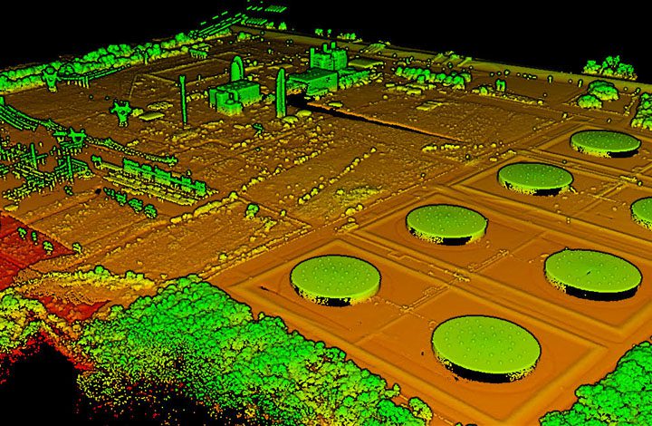
High-Precision LiDAR Solutions. Our LiDAR services provide high-density point clouds with 3-6 cm accuracy, even in dense vegetation, for applications such as topography, surveying, and large-scale mapping. Leveraging DJI – L2 technology, we achieve over 400 points per square meter for fine line and ground plane data capture. Available add-ons include Blue UAS options for enhanced capabilities, making it a go-to for projects needing precise, reliable data.
Key Features:
- Flights at 60 meters AGL
- Ideal for topographic surveys and foliage cover
- High-accuracy results and additional insurance options available
Learn more about LiDAR here.
Read our blogs about LiDAR here.

Thermal Imaging
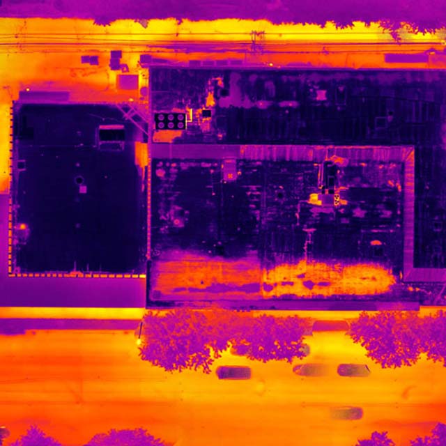
Thermal Data Capture for Infrastructure and Energy. Our thermal imaging services utilize M3 Thermal or M2 Enterprise Advanced sensors for infrastructure and energy sector inspections. Perfect for solar farms, building envelope scans, and distribution lines, our thermal data captures detailed temperature differences, helping clients identify potential issues early.
Key Features:
- Detailed thermal mapping for solar and energy infrastructure
- Optional image processing through Raptor Maps and SiteMark
- Flexible for both manual inspection and automated mapping missions
Learn more about our thermal services here.

Multispectral Imaging
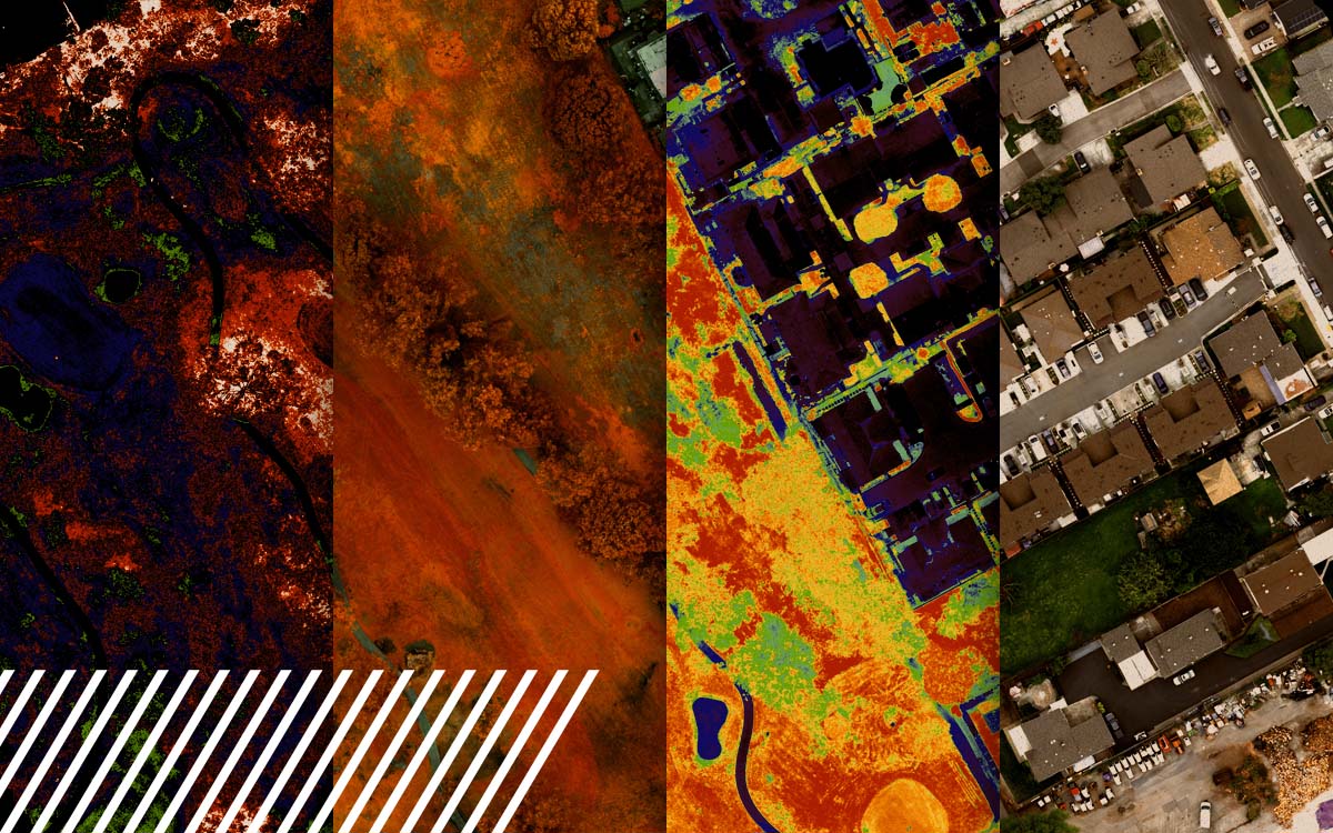
Multispectral Analysis for Environmental Insights. Our multispectral imaging service, powered by M3M and Matrice 300 with Micasense, captures data across multiple light bands. This service supports agriculture, forestry, and environmental management projects, providing essential data on vegetation health, water content, and more.
Key Features:
- Collection across visible and near-infrared wavelengths
- Enhanced analysis for agriculture and environmental monitoring
- Calibrated for accurate, repeatable results across seasons
Learn more about multispectral services here.
Read more about multispectral imaging here.

Ground Control
Ground Control for Absolute Accuracy. FlyGuys’ ground control services use Emlid Reach RS2 and RS3 systems with RTK and PPK capabilities. Our methods ensure each mission meets rigorous accuracy requirements with a minimum of 30 verification points. This service enhances aerial data accuracy, making it an essential component for projects that demand precise geographic alignment.
Key Features:
- Accurate control points for enhanced mapping
- Comprehensive setup with base and rover configurations
- Compatible with both aerial and terrestrial data capture
Read more about ground control here.
Ground Capture Laser Scanning
360-Degree Ground Laser Scanning. For accurate, ground-based data capture, our NavVis VLX 2 system delivers point clouds with 300,000 points per second. This method supports digital twin creation, interior capture, and hard-to-reach areas, supplementing aerial data with unmatched detail.
Key Features:
- Full 360-degree data capture with a 10-meter radius
- Ideal for digital twin and interior site mappi
- ng
- Complements aerial data for comprehensive coverage
Read more about NavVis VLX 2 here.
Large Scale Mapping – Processing
Efficient Mapping Solutions for Large Sites. Our large-scale mapping services support complex sites spanning over 1,000 acres. Using M3E or M300 P1 processing, we handle missions requiring extensive image processing. FlyGuys accommodates large data volumes, making us a trusted partner for expansive site documentation.
Key Features:
- Mapping over 2,000 acres with fixed-wing options available
- Specialized processing for over 10,000 images
- Quick data transfers for timely project completion
Additional Premium Services
FlyGuys partners with industry-leading vendors to deliver specialized data capture services for complex projects. These allied provider solutions include:
- Fixed Wing Unmanned Craft: Ideal for large sites, providing high-efficiency data capture.
- Manned Craft: Essential for challenging terrains and high-altitude projects.
- Confined Spaces: Specialized tools for tight or hazardous environments.
- Blue UAS: Compliant with DoD requirements for secure data collection.
- Methane Detection: Early-stage technology for environmental monitoring.
- Bathymetry: Maps underwater topography for shallow bodies of water.
- Hyperspectral Imaging: Detailed environmental analysis across hundreds of wavelengths.
- Planimetrics & Classifications: Asset identification for utilities and infrastructure.
- Digital Twin: 3D models for facilities management and engineering.
Contact us to learn more about how these services can enhance your project.
