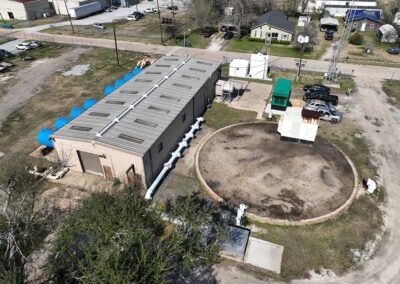
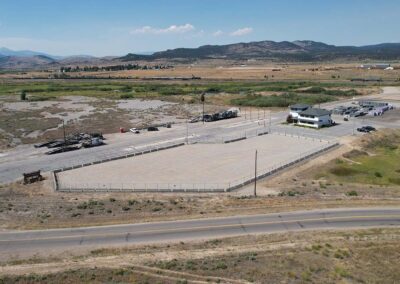
Services Provided: Aerial Imaging, Progress Monitoring
Customer Problem
Lemoine wanted to create a marketing package after the completion of each site that showed the building process from groundbreaking to finished infrastructure.
Traditionally the company relied on project managers to capture the progress images. However, progress managers can’t always be expected to gather the data due to busy and often changing schedules. Additionally, the photos were taken from ground level and therefore were not site-encompassing nor always high-quality.
Dirty/Dull/Dangerous
- It is challenging to capture photos from ground level on a construction site after a rain. The site is muddy and slippery.
- Taking photos after each stage of construction is tedious and arbitrary. Photos were not always taken so the true progress was not documented.
- Anyone walking through a construction site is at human risk exposure. Construction sites are dangerous and not always accessible from the ground.
solution
FlyGuys Solution
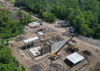
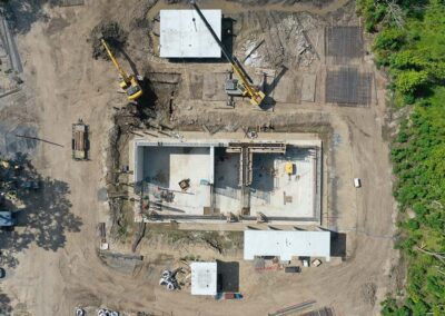
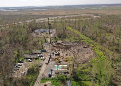
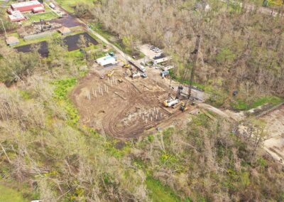
Lemoine worked with our drone pilots and mission coordinators to regularly capture progress photos. Weather and hazardous sites did not prevent our drones from collecting the photos and all stages of the project were recorded. Once the project was completed, the high-res drone photos and videos were compiled to create a standard photo and marketing package that Lemoine could now share with stakeholders and potential clients.
Implementation
Our drone pilots were scheduled to capture daily or weekly aerial images during the progress of a construction site. The images were immediately uploaded and delivered to Lemoine who was able to share progress with their clients and also had footage for future marketing materials.
outcome
Customer Outcome
- Increased Communication. The use of our drone services allowed Lemoine to collect the data they needed to share with their clients, resulting in more transparent communication with project managers and clients.
- Time/costs saved. Our drone pilots were able to capture the footage in under an hour, something that traditionally took days to capture.
- Safety increased. Project managers no longer have to walk the dangerous site reducing the risk of injury and safety risks.
- Quality increased. The high-res aerial images show detailed progress and capture the whole site.
Conclusion
Scheduling weekly aerial imaging collection during a construction project has saved time and money, streamlined workflow and communication between clients and managers, reduced safety risks and allows Lemoine access to accurate, high-quality data that can be used for marketing packages.

