The Evolution of Reality Data Capture
Explore the transformative journey of reality data capture technology, from its manual origins to the sophisticated AI systems used today.

Graycor is a construction company headquartered in Oakbrook Terrace, IL and has approximately 1600 employees.
Services Provided: Aerial Imaging, Progress Monitoring
Graycor needed consistent, frequently updated aerial data of construction sites to monitor progress. Historically, monitoring their active jobs at the required level of detail involved travel, man hours, and strict documentation from boots-on-the-ground employees. Graycor was exploring ways to make this important reporting less costly and time-consuming.

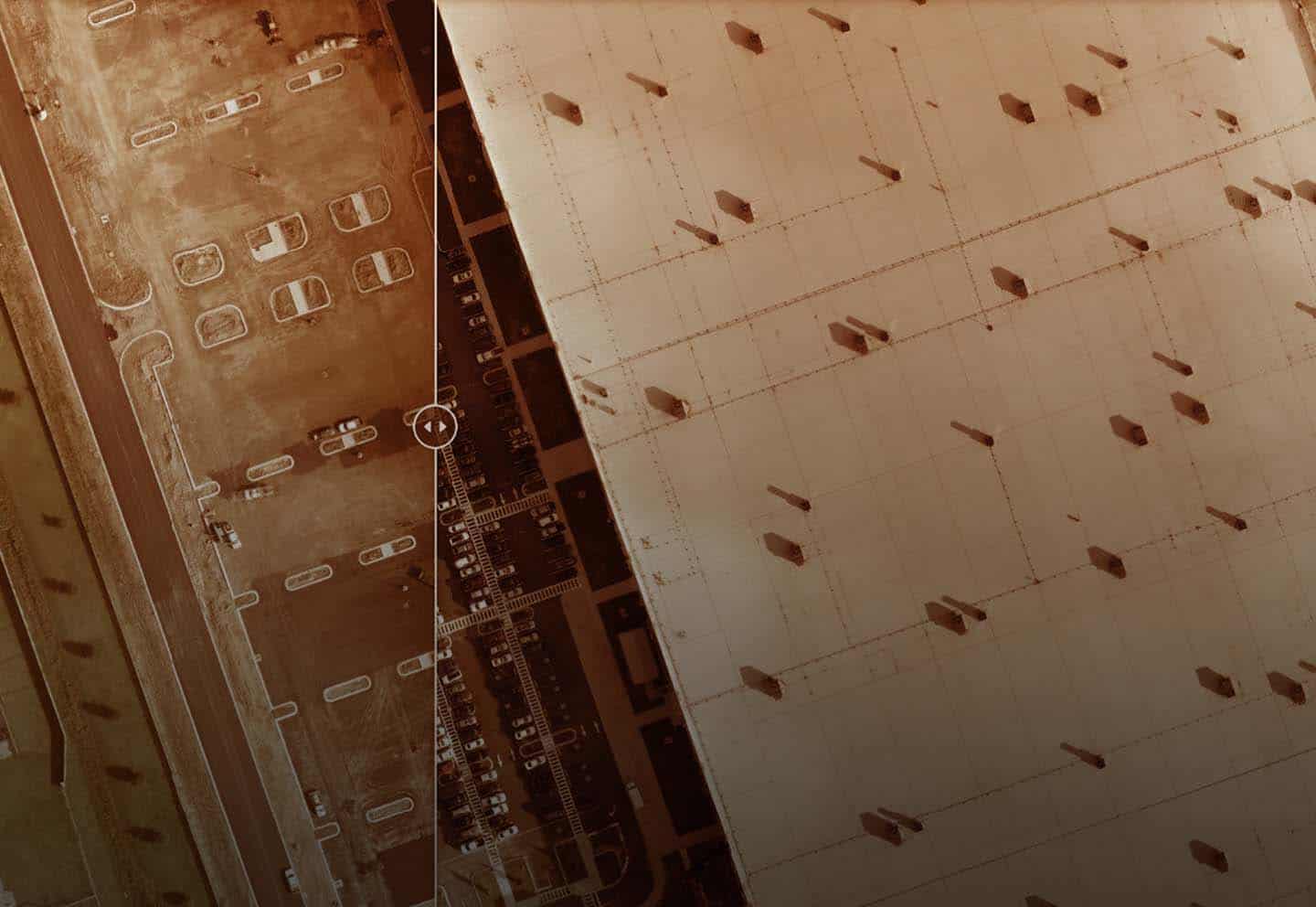
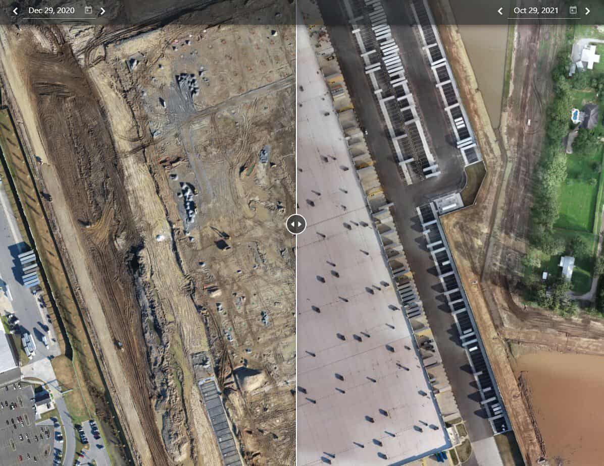
Our pilots visited Graycor’s sites twice a week to gather aerial imaging data which was then processed into a orthomosaics. The orthomosaic data was delivered via the DroneDeploy platform, allowing the client to visualize site changes over time and easily compare flight data.
FlyGuys’ progress monitoring became an efficient solution for Graycor as the client requested several regular flights over a one-year period. Orthomosaics provided a complete overview of the site as opposed to compiled reports consisting of singular images and notes from multiple personnel.
Get tips to help you become the best pilot you can possibly be.
Take Your Project To New Heights
Whether the project takes us to a major metropolitan city, a mid-sized town, or a rural area far away from civilization, we’re ready to deploy FAA-certified pilots and follow stringent safety measures. Connect with FlyGuys for a quote, and let’s explore the right solution for you.
Please note that we are currently unable to assist in the search for missing pets. This limitation is due to the specific challenges and regulations associated with using drones for such purposes.