Planimetrics: Mapping the Details That Matter
Modern mapping requires accuracy, detail, and speed, making planimetric mapping one of the most powerful tools available. At FlyGuys, we leverage cutting-edge technology to provide planimetric mapping services that extract essential information from aerial imagery, supporting urban planning, real estate development, infrastructure projects, and more. Here, we’ll explore what planimetric mapping is, its applications across industries, and how it transforms raw aerial data into actionable insights.
What is Planimetric Mapping?
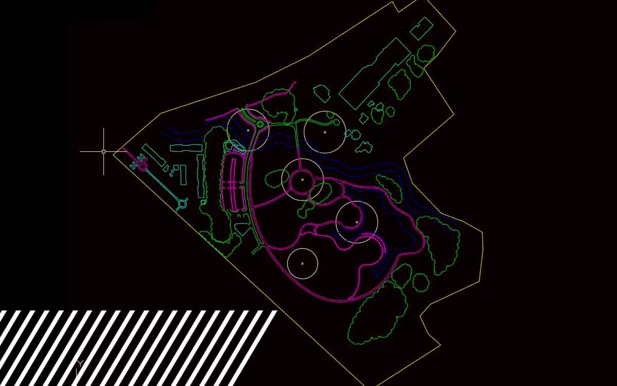
Planimetric mapping involves capturing and charting the horizontal positions of features on the earth’s surface without accounting for elevation or terrain. This method focuses on two and three-dimensional representations, outlining visible objects—such as roads, sidewalks, utility lines, buildings, and vegetation—based solely on their coordinates. Unlike topographic maps, planimetric maps do not include elevation data, but they offer a highly accurate snapshot of surface-level features, essential for various planning and operational needs.
How Does Planimetric Mapping Work?
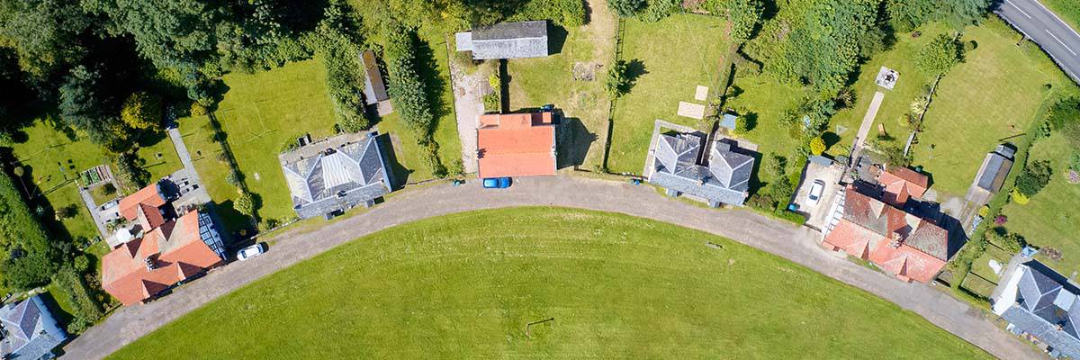
Using aerial imagery from drones and other sources, planimetric mapping identifies, traces, and maps surface features into a format that is easily analyzed and understood. In FlyGuys’ workflow, we capture high-resolution aerial data and apply data processing techniques to filter and outline key elements visible on the surface. The result is a detailed map containing accurate depictions of visible features that clients can use for precise spatial analysis and informed decision-making.
Key Applications of Planimetric Mapping
Planimetric mapping has broad applications across various industries, but it’s particularly valuable for urban planning, real estate, and infrastructure projects. Below are some of the ways this detailed mapping technique is used to improve projects and streamline operations:
Urban Planning
Urban planners rely on planimetric maps to make informed decisions about city infrastructure, zoning, and land use. These maps reveal critical details—like road networks, buildings, and utility locations—that planners need to manage growth effectively. By understanding existing infrastructure, planners can assess potential areas for development, identify gaps in services, and create safer, more efficient urban layouts.
For example, if a city plans to develop a new park or public transportation route, planimetric maps provide clear, accurate representations of current structures, open spaces, and transportation pathways. This helps planners avoid unnecessary disruptions and ensures the new project integrates seamlessly with existing surroundings.
Real Estate Development
Real estate developers benefit from planimetric mapping by gaining a precise overview of property boundaries, building layouts, and land features. This information is crucial when considering property acquisitions, development plans, and valuations. With accurate maps in hand, developers can design projects that maximize available space, consider zoning laws, and plan for utilities and infrastructure requirements.
In densely built urban areas, where space is at a premium, planimetric maps offer insights into efficient site utilization, ensuring every square foot is accounted for and used effectively. They also support the creation of aesthetically pleasing and functional designs that add value to the surrounding community.
Infrastructure Projects
Planimetric mapping is indispensable for large-scale infrastructure projects, such as roads, bridges, and utility installations. These projects require meticulous planning to ensure that all components align with existing infrastructure. By outlining essential details like road alignments, utility locations, and existing structures, planimetric maps reduce the risk of costly mistakes and enhance project accuracy.
Engineers and project managers can use these maps to verify measurements, identify potential obstacles, and maintain compliance with regulations. With a reliable 2D map, infrastructure projects can proceed smoothly and avoid unexpected complications, reducing delays and minimizing resource waste.

Extracting Meaningful Data from Aerial Images
Aerial imagery provides a rich source of information, but without precise mapping, that data can be overwhelming and difficult to interpret. Planimetric mapping distills aerial images into focused, actionable maps by filtering out extraneous information and highlighting the structures, boundaries, and surface features that matter most. Through this process, data that might otherwise go unnoticed becomes accessible, structured, and actionable.
At FlyGuys, we use advanced mapping software and drone technology to capture high-quality images that form the foundation of our planimetric maps. By refining these images into detailed, accurate maps, we help clients extract meaningful data and make strategic decisions.

Why Choose Planimetric Mapping?
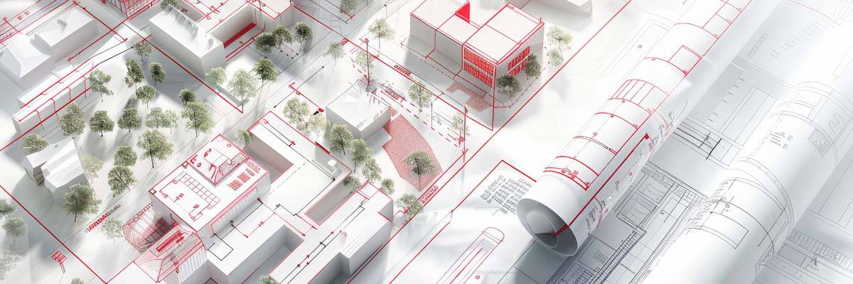
For clients who need reliable, detail-oriented maps to guide projects, planimetric mapping offers a clear advantage. It combines the detail required to navigate complex projects with the simplicity of a 2D or 3D layout, helping clients across industries turn raw aerial data into precise, practical information. Whether you’re planning a city expansion, evaluating a property’s value, or constructing vital infrastructure, planimetric mapping provides the clarity and accuracy you need to execute projects effectively.

Bringing Precision to Every Project
As the demand for data-driven decision-making grows, planimetric mapping has become an essential tool for industries requiring spatial intelligence. At FlyGuys, we’re proud to offer planimetric mapping as part of our reality data capture solutions, transforming aerial imagery into high-quality, accurate maps that help our clients achieve success. By mapping the details that matter, we provide the insight clients need to tackle complex projects with confidence and precision.
With FlyGuys’ planimetric mapping, you’re not just getting a map—you’re getting a blueprint for progress, empowering your projects from planning to completion.