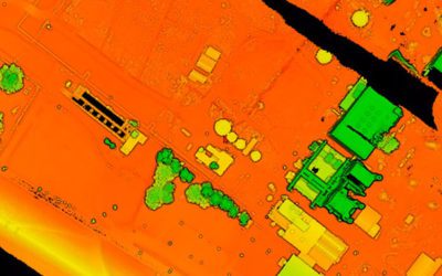
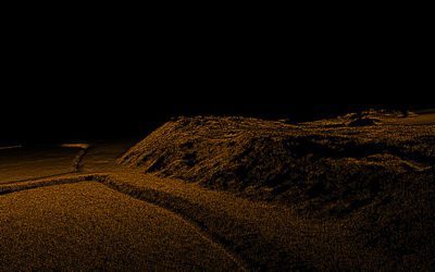
Aerial Photogrammetry & LiDAR - Which Technology Should You Choose? For accurate mapping and land surveying, the two leading technologies used are aerial photogrammetry and LiDAR. How do these methods differ, what are their advantages and disadvantages, and above...
Aerial Photogrammetry and LiDAR – Which Technology Should You Choose?
read more


