
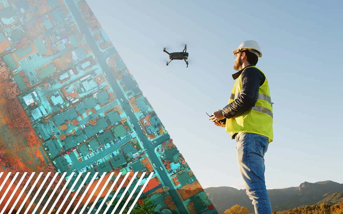
Seeing Is Believing: Why Every Pilot Should Review Their Data Before Leaving the Site
Find out how LiDAR can save you time and money
Category
Find out how LiDAR can save you time and money

Find out how LiDAR can save you time and money
Find out how FlyGuys integrates with your AI to fuel your business.
Find out how FlyGuys integrates with your AI to fuel your business.

Find out how FlyGuys integrates with your AI to fuel your business.
Find out how FlyGuys integrates with your AI to fuel your business.
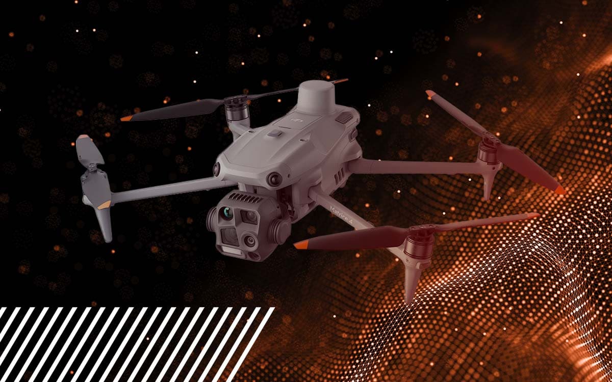
Whether you are a novice pilot or looking to get into the industry, you might find details about the drone we use quite helpful.
Whether you are a novice pilot or looking to get into the industry, you might find details about the drone we use quite helpful.
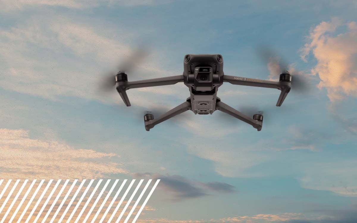
Whether you are a novice pilot or looking to get into the industry, you might find details about the drone we use quite helpful.
How reality data capture is transforming the insurance industry through efficiency, accuracy, and saving time and cost.
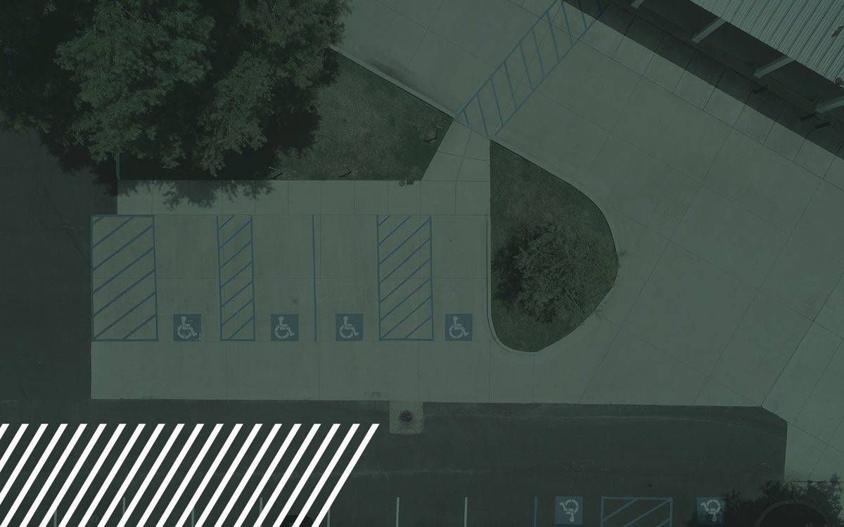
Transform pavement assessments with reality data capture technology. Learn how drones and LiDAR streamline road inspections, boosting safety and accuracy.

Discover the comprehensive guide to Digital Surface Models, Digital Terrain Models, and Digital Elevation Models.