Achieving Global Accuracy with Ground Control: The Backbone of Precise Data Capture
Imagine a construction project covering hundreds of acres. Every inch counts as the team maps out infrastructure, plans roads, and coordinates utilities. This type of work requires more than just basic aerial images or GPS data; it demands pinpoint accuracy. That’s where ground control points (GCPs), along with tools like base and rover setups, come into play. These elements are crucial for transforming raw aerial data into precise, real-world coordinates.
So, let’s dive into how GCPs and the base and rover system contribute to the accuracy of aerial data collection and why they’re essential for projects where precision is non-negotiable.
What Are Ground Control Points?
Ground control points, or GCPs, are specific locations on the ground with known geographic coordinates. These points are marked and measured with extreme accuracy, usually through professional surveying methods, to serve as reference points for aerial data alignment.
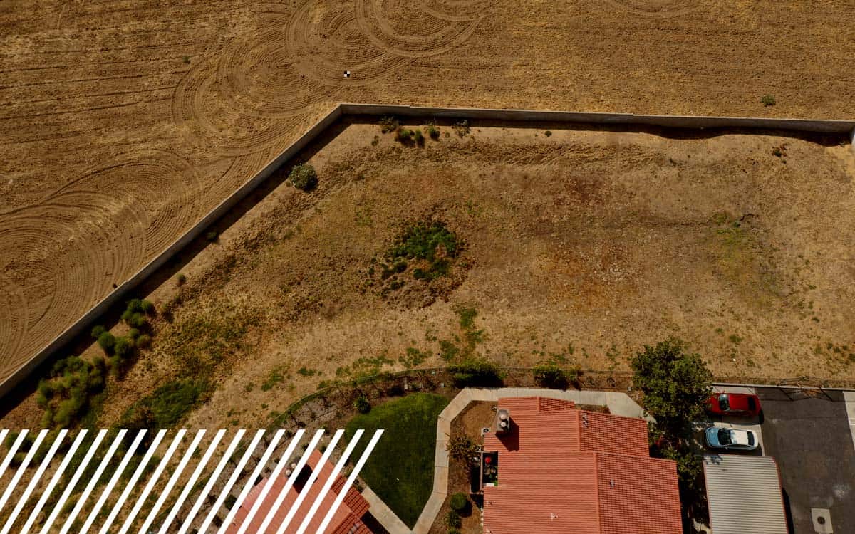
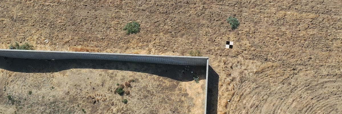
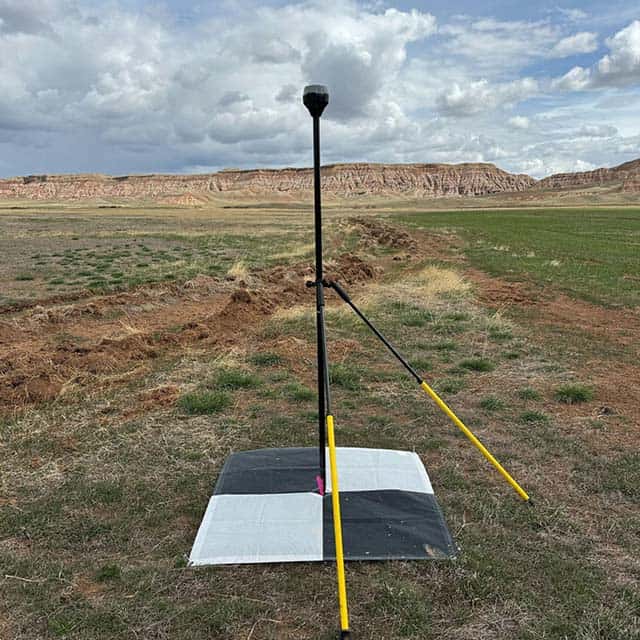
Think of GCPs as anchor points. By strategically placing these points across a project area, aerial data can be aligned with actual global locations, significantly enhancing its accuracy. Whether represented as a large white “X” painted on pavement or a GPS-marked disk embedded in the soil with a visible center, GCPs are fundamental for ensuring that aerial images reflect true positions on Earth.

The Role of GCPs in Aerial Data Accuracy
GCPs are indispensable when it comes to aligning aerial images with real-world locations. Here’s how they enhance accuracy in three critical ways:
- Data Alignment: When aerial data (like photos or LiDAR scans) is collected, it often has some distortion. GCPs serve as known locations where the data can be “stretched” or adjusted to match, helping align the aerial images with true ground positions. This alignment is essential for creating accurate maps and 3D models.
- Error Reduction: Without GCPs, aerial data might be slightly off, especially over large or uneven areas. By incorporating GCPs, distortions are minimized, meaning less margin of error. This precision is invaluable in projects where every meter or even centimeter matters.
- Achieving High Levels of Accuracy: With GCPs, it’s possible to achieve sub-centimeter accuracy in aerial data. For comparison, GPS alone may only offer accuracy within several meters. GCPs improve data quality to meet the needs of industries that rely on extremely precise measurements.
Base and Rover: The Essential Third Layer for Accurate Data Collection
Beyond just using GCPs, the base and rover system adds a crucial third layer for achieving global accuracy, especially for those who may not need the millimeter-level precision of certified surveyors. A base station and a rover work together to provide centimeter-level accuracy, typically reaching around 2 cm precision—perfect for most mapping and aerial data collection needs.
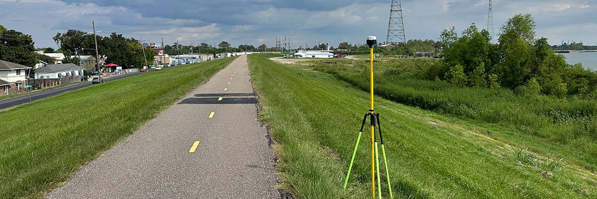
- Base Station: The base is a stationary device placed at a known location. It continuously collects and transmits location data.
- Rover: The rover, which is mobile, receives these corrections as it moves around, gathering data. This setup is ideal for projects requiring high accuracy but not official surveyor approval.
At FlyGuys, we use Emlid, an affordable and reliable brand that integrates well with UAVs. The base and rover system allows our teams to shoot GCPs and connect them to Real-Time Kinematic (RTK) data, further enhancing accuracy. This method is highly efficient for mapping large areas with global corrections without the need for costly, time-consuming surveys.

How Base and Rover Work for Data Collection
Here’s a typical workflow using base and rover for GCP collection:
- Creating Known Points: A reality data collector uses the base, rover, and OPUS to establish accurate GCPs by marking known points through precise GPS readings.
- Connecting to the Drone: During flight, the Emlid can also be used as an RTK base to correct and triangulate a more accurate geolocation.
- Validating Data: After flying the unit, the data provider checks the captured GCPs against the corrected base location data to ensure they were recorded correctly.
For additional verification, we use OPUS (Online Positioning User Service) to process the GNSS data within the National Spatial Reference System, ensuring our data meets high standards of accuracy.
The Impact of GCPs and Base & Rover Systems on Precision-Critical Industries
Several industries rely heavily on GCPs and base & rover setups to ensure that their aerial data meets stringent accuracy requirements. Here’s how these methods play a role across different fields:
- Construction & Infrastructure: Construction projects depend on accurate mapping for site planning, material management, and regulatory compliance. The base and rover system can provide billions of data points, giving more granular detail about earthwork and terrain. This wealth of data eliminates the need to “connect the dots” manually, as surveyors typically provide only about 70-100 acres of locational data per day..
- Agriculture: Precision agriculture uses high-accuracy maps to manage crops, apply fertilizers, and monitor plant health. GCPs, enhanced with a base and rover setup, allow for accurate mapping, which translates to more efficient resource management. Farmers can analyze crop growth patterns by aligning aerial images to make informed decisions that optimize yields.
- Environmental Monitoring: Accurate data is essential for projects tracking changes in ecosystems or assessing environmental impact. GCPs, with the help of base and rover systems, ensure that aerial surveys are precisely aligned with the landscape, allowing scientists to monitor shifts in vegetation, soil erosion, and water levels over time.

Setting Up Ground Control Points for Optimal Accuracy
To get the most out of GCPs and base & rover systems, thoughtful setup is essential. Here’s an overview of what’s involved:
- Planning the Layout: The number and placement of GCPs depend on the area’s size and the required level of detail. A well-planned layout helps ensure that the entire area is accurately represented.
- Using the Base and Rover: The base and rover system enhances the accuracy of these points without the need for a certified surveyor. With precision around 2 cm, this method is highly effective for projects that don’t require millimeter tolerance.
- Data Processing: After aerial data is captured, processing software uses the GCPs and base & rover corrections to align the images or LiDAR data. This step ensures the final output reflects the true dimensions and coordinates of the project area.
The Future of Ground Control in a GPS-Driven World
As technology advances, systems like Real-Time Kinematic (RTK) and Post-Processed Kinematic (PPK) are increasingly accessible, enhancing data accuracy. The base and rover system complements these technologies by providing a solid foundation of known points, ensuring accuracy without requiring constant real-time connections or surveyor involvement.
In some cases, data collectors can bypass the need for a surveyor’s stamp of approval. For many projects, the base and rover system offers a more affordable, practical solution for high-precision data collection.
Precision from the Ground Up
Ground control points, along with base and rover systems, form the backbone of aerial data accuracy. These tools allow professionals across industries to capture reliable, high-quality data without the need for costly and time-intensive surveys.
With the ability to generate billions of data points, base and rover systems provide more detailed, accurate maps that can be used in everything from construction to environmental monitoring. These tools offer an ideal solution for projects that require precision but don’t demand a surveyor’s millimeter-level accuracy.
When accuracy matters, using GCPs and base and rover technology ensures your aerial data is as precise as possible. Contact FlyGuys today to learn more about our premium services and how we can help your project achieve global accuracy.