The Evolution of Reality Data Capture
Explore the transformative journey of reality data capture technology, from its manual origins to the sophisticated AI systems used today.

Lemoine wanted to create a marketing package after the completion of each site that showed the building process from groundbreaking to finished infrastructure.
Traditionally the company relied on project managers to capture the progress images. However, progress managers can’t always be expected to gather the data due to busy and often changing schedules. Additionally, the photos were taken from ground level and therefore were not site-encompassing nor always high-quality.

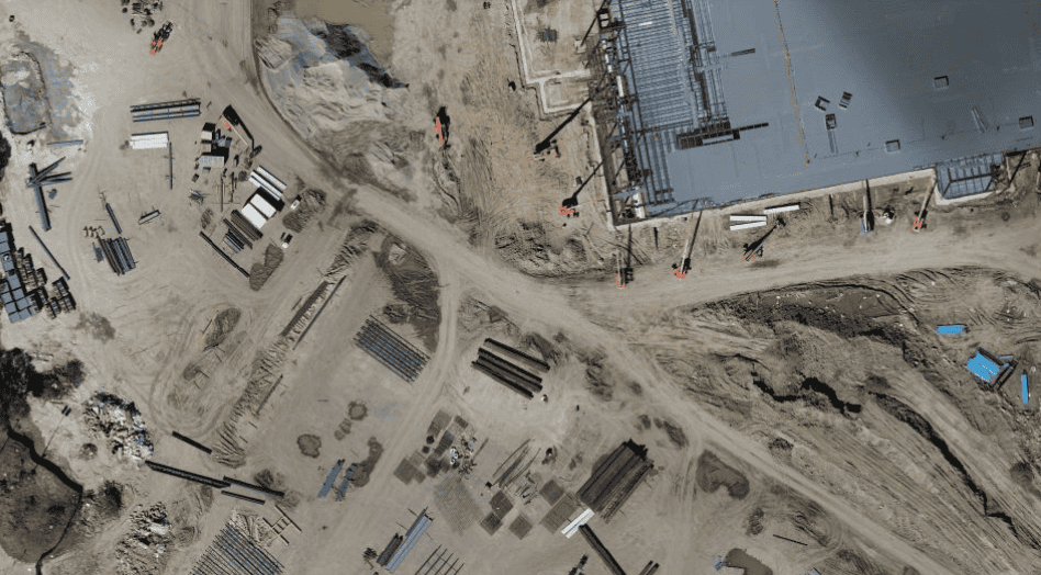
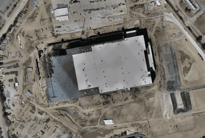
Lemoine worked with our drone pilots and mission coordinators to regularly capture progress photos. Weather and hazardous sites did not prevent our drones from collecting the photos and all stages of the project were recorded. Once the project was completed, the high-res drone photos and videos were compiled to create a standard photo and marketing package that Lemoine could now share with stakeholders and potential clients.
Our drone pilots were scheduled to capture daily or weekly aerial images during the progress of a construction site. The images were immediately uploaded and delivered to Lemoine who was able to share progress with their clients and also had footage for future marketing materials.
Increased Communication
The use of our drone services allowed Lemoine to collect the data they needed to share with their clients, resulting in more transparent communication with project managers and clients.
Get tips to help you become the best pilot you can possibly be.
Take Your Project To New Heights
Whether the project takes us to a major metropolitan city, a mid-sized town, or a rural area far away from civilization, we’re ready to deploy FAA-certified pilots and follow stringent safety measures. Connect with FlyGuys for a quote, and let’s explore the right solution for you.