The Role of APIs in Modern Farming: A Conversation with FlyGuys’ Ag Expert
The modern farming landscape is data-driven, making timely access to accurate imagery important for growers to manage their operations. From planting to harvesting, growers and ag tech companies depend on timely, high-quality information to make smart decisions and stay competitive. But as farms grow bigger and technology becomes more complex, how that data is collected and delivered matters just as much as the data itself.
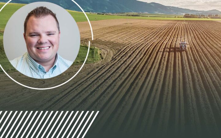
To dig into how drone-captured imagery and software integration are changing the game in ag, we sat down with Carson Weaver, FlyGuys’ Sr. Sales Account Executive and in-house agricultural expert on all things ag tech.

“Agriculture Moves Fast. APIs Help You Move Faster.”
Carson doesn’t mince words when talking about the pace of the industry. “When you’re working in agriculture,” he says, “timing is critical. You don’t always get a second shot at collecting data. You’ve got growth stages, weather windows, and decisions that need to happen fast. The sooner the data is in your hands, the sooner you can act.”
That’s where APIs (Application Programming Interfaces) come in. In the simplest terms, APIs allow two systems to talk to each other. In ag, this often means your farm management software can automatically send out a request for drone data, and receive that data back in a ready-to-use format. No spreadsheets, no email chains, no delays.
“An API is like a conveyor belt,” Carson explains. “It moves your data needs from one place to another without anyone having to carry it manually. That speed and automation make a huge difference.”

The Problem with Traditional Data Requests
Many ag companies still rely on sending spreadsheets full of field coordinates, sometimes tens of thousands of lines representing millions of acres. And while that system can work, it often slows things down.
“We’ve seen some customers send us 50,000 lines of data,” Carson says. “Each line is an individual field or tract that needs to be flown. That’s fine, but when you’re moving at that scale, doing everything manually just isn’t sustainable. You lose visibility, and it’s harder to match the right pilot to the right job.”
On the other hand, customers who use FlyGuys’ API can automate their requests, track mission status in real-time, and receive georeferenced data directly into their software.

“You Build the Intelligence. We’ll Fetch the Data.”
One of the biggest advantages of integrating drone data via API is the ability to focus on what matters most, like analytics, modeling, and decision-making, without having to worry about flying drones or processing raw imagery.
“Our partners don’t want to spend time wrangling drone data,” Carson says. “They want clean, consistent imagery they can feed into their platform and start working with. Whether it’s RGB, multispectral, or thermal, we deliver it georeferenced and ready to go.”
API integration provides a seamless and efficient workflow for a variety of tasks, from scaling ground truth data for crop modeling to acquiring frequent imagery for in-season monitoring.
“You build the intelligence, and we’ll fetch the data,” Carson says. “That’s the partnership.”

Scaling with Confidence
Another big advantage? Scalability. Scalability is a major factor in the success of any agricultural technology platform, and it’s where integrated drone services and efficient coordination of drone jobs make a real impact.
“When ag clients need to fly 100,000 acres in a short window, they don’t have time to manually assign jobs,” Carson points out. “With our API, they can send those orders straight into our system. We take that data, translate it into mission requirements, and match it with the best pilot and equipment for the job.”
Because FlyGuys has a nationwide network of pilots, including many with multispectral and NDVI experience, we can meet the demand for large-scale operations without sacrificing accuracy or speed.
Whether it’s a single field or an entire growing region, API-connected drone services ensure efficient, consistent, and professional data collection, exactly when it’s needed most.

What This Means for the Future of Ag Data
The future of agriculture is connected. Sensors, platforms, and analytics all perform better when they communicate seamlessly with one another. That’s the power of APIs.
“You’re not just speeding things up,” Carson says. “You’re unlocking smarter workflows. You’re making sure your platform delivers insights faster, your users make decisions sooner, and your team spends less time chasing down data.”
In a world where a few days can make or break a growing season, that kind of edge can be priceless.

Final Thoughts
If you’re in the business of ag tech or farm management software, integrating with a data provider like FlyGuys via API isn’t just a convenience; it’s a strategic advantage. It simplifies the complexity of drone data collection and enables smarter, faster, and more scalable decision-making across the ag ecosystem.
As Carson puts it:
“We’re not just collecting data. We’re helping you deliver insights that matter, on time, every time.”