How Can Agriculture Teams Build Repeatable, Scalable Data Workflows?
Build repeatable, scalable agriculture data workflows to drive efficiency and better decisions
Category
Build repeatable, scalable agriculture data workflows to drive efficiency and better decisions

RGB vs multispectral imagery: how to choose the right drone data for agriculture.
Prep for ag season with drone data and AI insights to boost yields and plan smarter.

Learn how drone services and certified surveyors work together for accuracy and compliance.
We discuss API integration with agriculture software with FlyGuy’s ag industry expert.
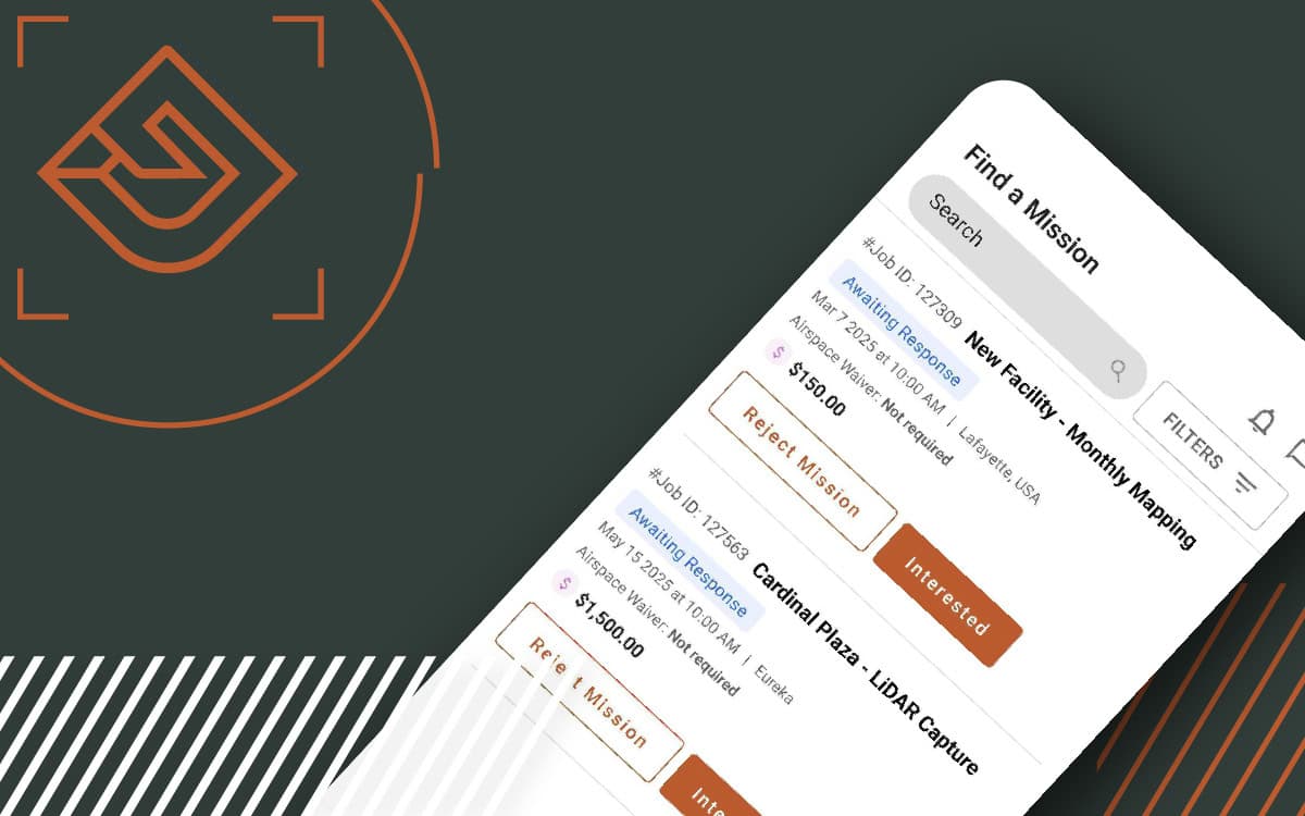
The FlyGuys Pilot App is here, making mission management easier than ever. Download today.
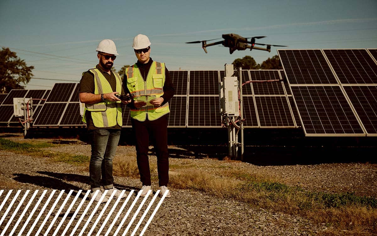
Discover how FlyGuys evolved from drone services to a nationwide leader in reality data capture across industries.

Discover how FlyGuys’ reality data capture and Datumate’s automation are transforming heavy civil construction projects.
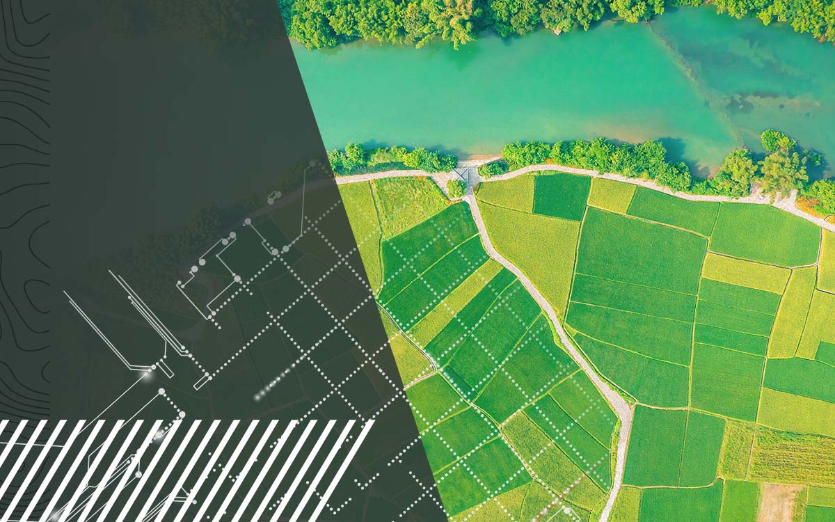
Discover how FlyGuys reality data capture powers AI software in the agriculture industry.
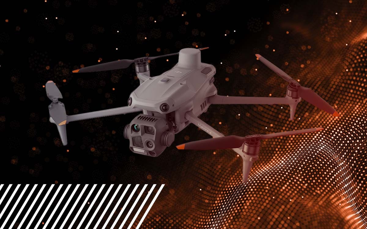
Discover the DJI Matrice 4E & 4T—enhanced flight time, built-in RTK, and advanced imaging to elevate your drone operations.
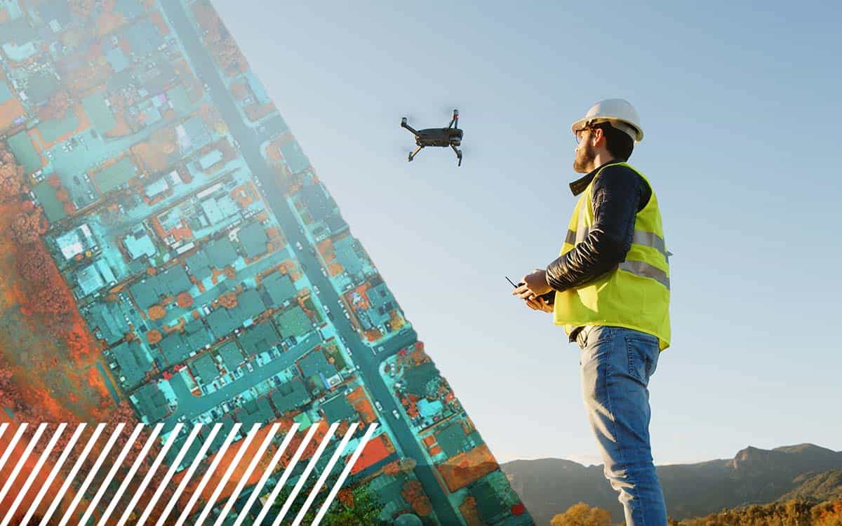
Comparing the Mavic 3 Multispectral, MicaSense, and Sentera sensors for your next drone pilot job.
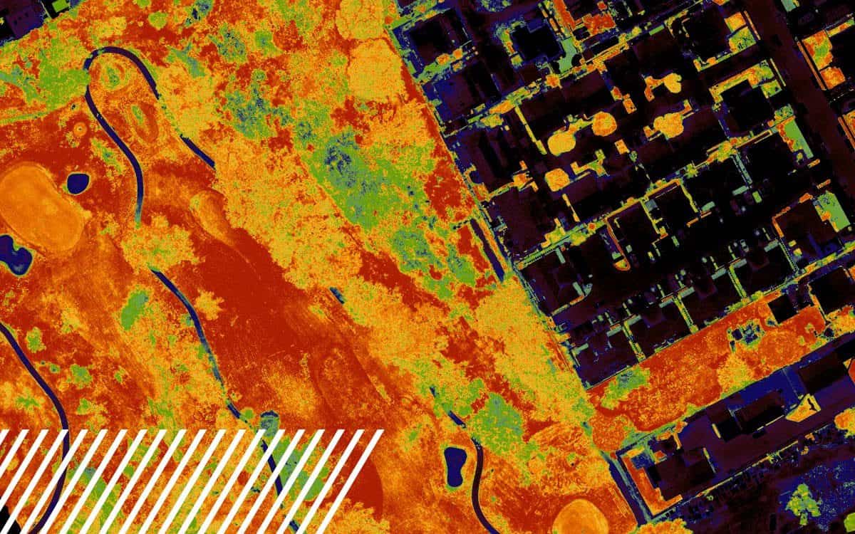
The Normalized Difference Vegetation Index (NDVI) is a metric derived from multispectral imaging, useful in assessing vegetation health.