
From LiDAR to Thermal: How Drone Technology Supports Every Phase of Renewable Energy Projects
Find out how FlyGuys integrates with your AI to fuel your business.
Tag

Find out how FlyGuys integrates with your AI to fuel your business.
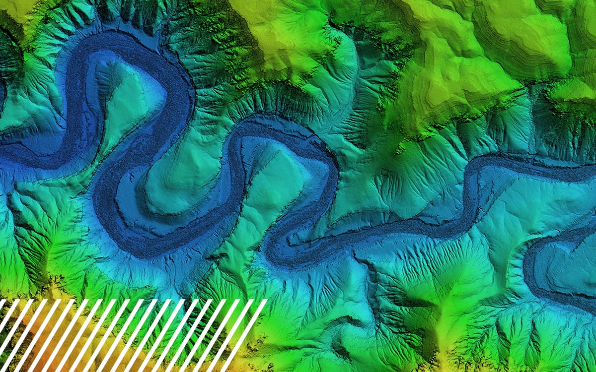
Find out how FlyGuys integrates with your AI to fuel your business.

Find out how FlyGuys integrates with your AI to fuel your business.
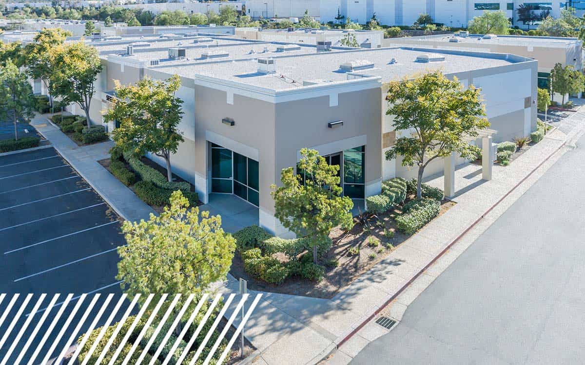
Find out how FlyGuys integrates with your AI to fuel your business.

Find out how FlyGuys integrates with your AI to fuel your business.
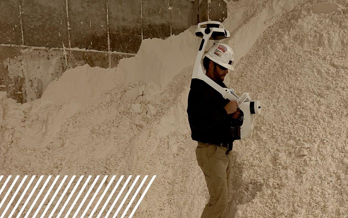
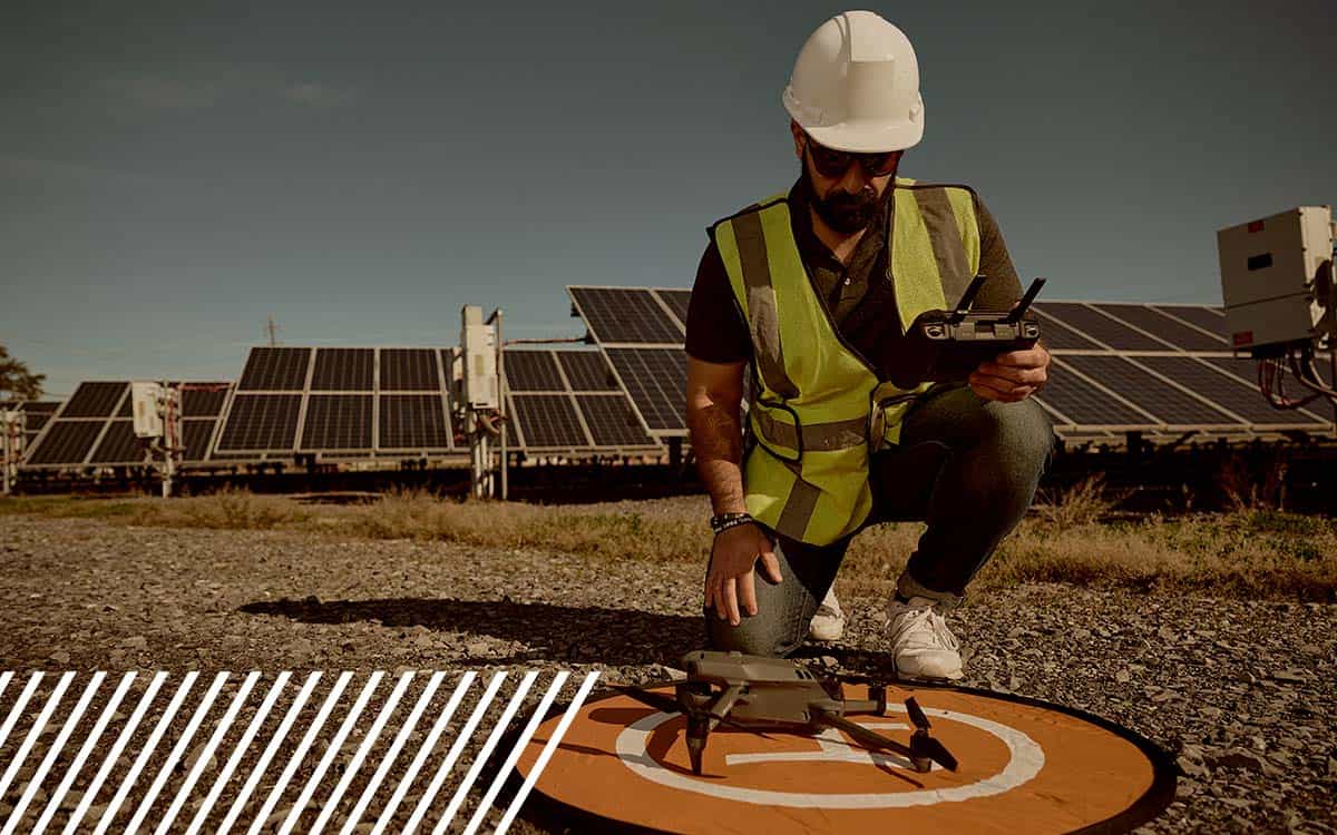

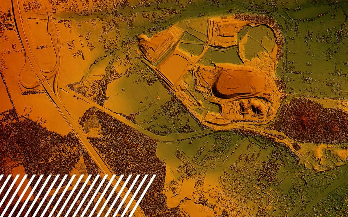
Discover the capabilities and limitations of LiDAR technology while dispelling common misconceptions about its various applications.
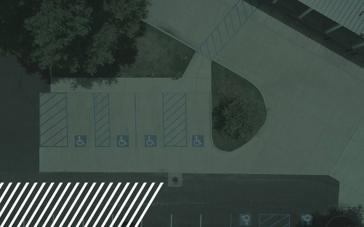
Transform pavement assessments with reality data capture technology. Learn how drones and LiDAR streamline road inspections, boosting safety and accuracy.
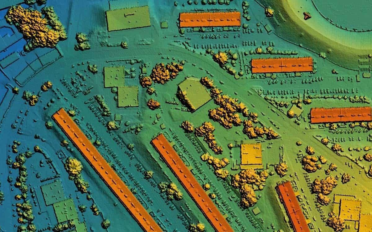
Read how reality data capture is crucial for the engineering industry. Learn how the technology enables 3D modeling.
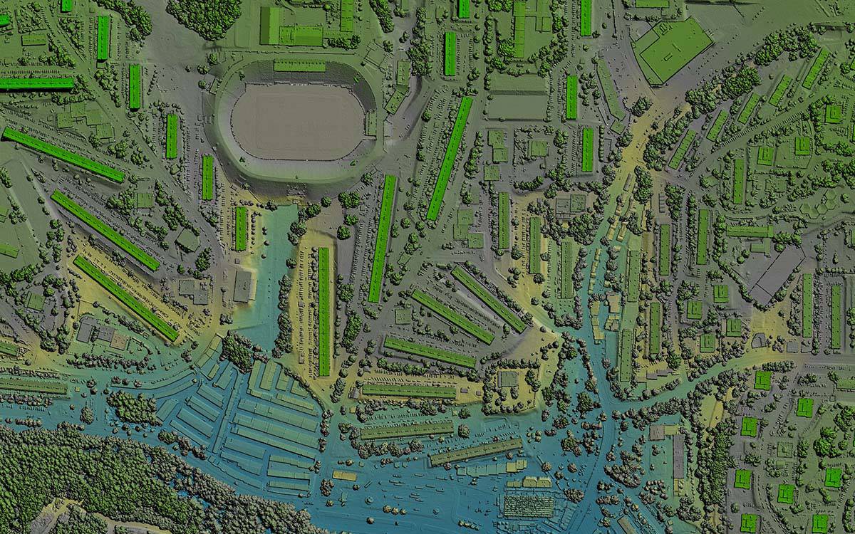
How LiDAR is transforming urban development and 3D mapping, pushing boundaries and setting new industry standards.