LiDAR 101: The Glossary, Use Cases, and Clarifications You Actually Need
Find out how FlyGuys integrates with your AI to fuel your business.
With national reach, proprietary software and game-changing aerial imaging, FlyGuys’ drone services connect data-seekers to professional data-capturers. We stand for unbound progress – unlocking the full potential of drone technology and aerial data.
FlyGuys is more than a drone services provider – we’re partners in solutions. Our specialized services can help take your project to the next level. Venture forward with us.
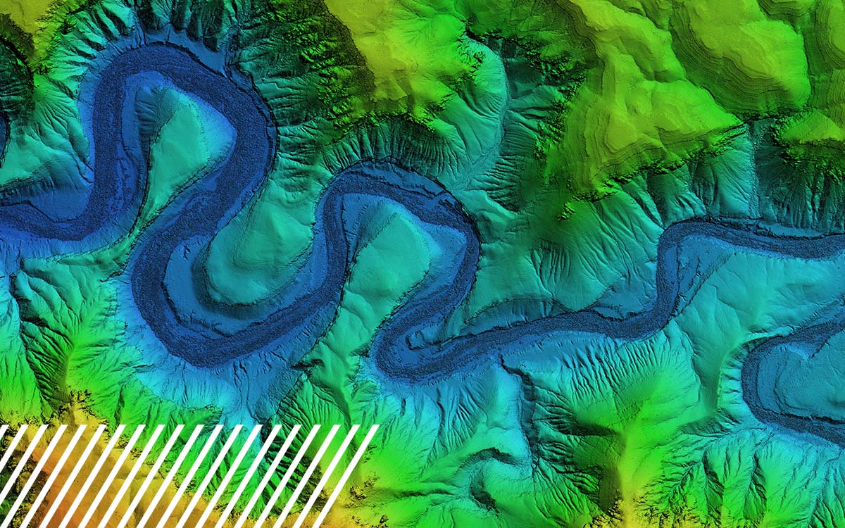
LiDAR technology offers unparalleled accuracy and detail in capturing physical environments – offering versatile applications and deliverables. Many licensed surveyors and engineering firms across the US are turning to FlyGuys to help with their LiDAR drone services needs. Our expert services and best-in-class sensors can save you a significant amount of both time and money.
Whether you’re deeply embedded in the tech space, or working in an industry that couldn’t be further from high-tech applications, FlyGuys’ drone services help you harness the power of data to make big waves.
Agriculture
Measure vegetation volume, track growth and development, and estimate agricultural yields.
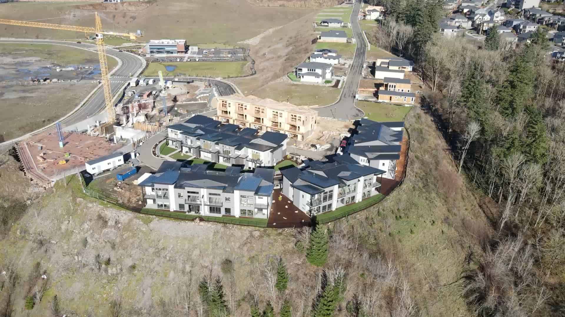
Construction
Estimate quantities and costs by measuring the volumetrics of concrete, gravel, sand, and other aggregates, and monitor progress to stay on schedule and within budget.
Energy
Estimate quantities and costs by measuring the volumetrics of concrete, gravel, sand, and other aggregates, and monitor progress to stay on schedule and within budget.
Industrial
Capture data for refineries, transmission lines, wind turbines, offshore rigs, manufacturing facilities, sea- and airports, and civil infrastructure.
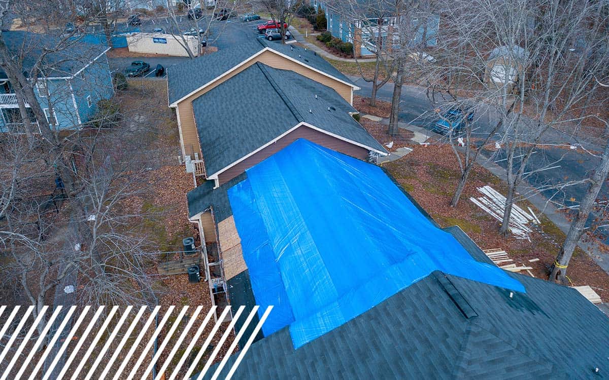
Emergency & Disaster
Help emergency personnel and insurance professionals assess a situation and evaluate damage.
With our cutting-edge software platform, we connect our pilots with data-seekers to form partnerships that fuel innovation across industries. Join the ranks of our pilots, and take fellow innovators to new heights.
See the world from a new perspective with exciting news, trends, and updates from the FlyGuys crew.
Find out how FlyGuys integrates with your AI to fuel your business.
Find out how FlyGuys integrates with your AI to fuel your business.
Find out how FlyGuys integrates with your AI to fuel your business.

Find out how FlyGuys integrates with your AI to fuel your business.
Find out how FlyGuys integrates with your AI to fuel your business.
We work with businesses and brands across a variety of industries.


Take Your Project To New Heights
Whether the project takes us to a major metropolitan city, a mid-sized town, or a rural area far away from civilization, we’re ready to deploy FAA-certified pilots and follow stringent safety measures. Connect with FlyGuys for a quote, and let’s explore the right solution for you.
Please note that we are currently unable to assist in the search for missing pets. This limitation is due to the specific challenges and regulations associated with using drones for such purposes.